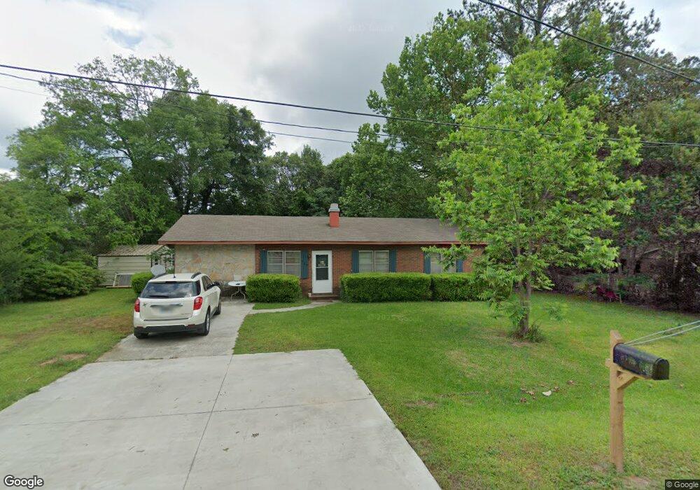
139 Snowden Ln Fitzgerald, GA 31750
Estimated Value: $126,000 - $154,000
3
Beds
2
Baths
1,352
Sq Ft
$104/Sq Ft
Est. Value
About This Home
This home is located at 139 Snowden Ln, Fitzgerald, GA 31750 and is currently estimated at $141,173, approximately $104 per square foot. 139 Snowden Ln is a home located in Ben Hill County with nearby schools including Ben Hill County Primary School, Ben Hill Elementary School, and Ben Hill County Middle School.
Ownership History
Date
Name
Owned For
Owner Type
Purchase Details
Closed on
Sep 25, 2006
Sold by
Price Deborah L
Bought by
Champ Deborah P
Current Estimated Value
Home Financials for this Owner
Home Financials are based on the most recent Mortgage that was taken out on this home.
Original Mortgage
$61,750
Outstanding Balance
$36,847
Interest Rate
6.46%
Mortgage Type
New Conventional
Estimated Equity
$104,326
Purchase Details
Closed on
Dec 6, 1990
Sold by
Sanders David Allen
Bought by
Price Deborah L
Purchase Details
Closed on
Aug 1, 1984
Bought by
Sanders David Allen
Create a Home Valuation Report for This Property
The Home Valuation Report is an in-depth analysis detailing your home's value as well as a comparison with similar homes in the area
Home Values in the Area
Average Home Value in this Area
Purchase History
| Date | Buyer | Sale Price | Title Company |
|---|---|---|---|
| Champ Deborah P | -- | -- | |
| Price Deborah L | $38,000 | -- | |
| Sanders David Allen | $21,500 | -- |
Source: Public Records
Mortgage History
| Date | Status | Borrower | Loan Amount |
|---|---|---|---|
| Open | Champ Deborah P | $61,750 |
Source: Public Records
Tax History Compared to Growth
Tax History
| Year | Tax Paid | Tax Assessment Tax Assessment Total Assessment is a certain percentage of the fair market value that is determined by local assessors to be the total taxable value of land and additions on the property. | Land | Improvement |
|---|---|---|---|---|
| 2024 | $934 | $33,326 | $2,800 | $30,526 |
| 2023 | $36 | $31,181 | $2,800 | $28,381 |
| 2022 | $503 | $27,208 | $2,800 | $24,408 |
| 2021 | $442 | $24,868 | $2,800 | $22,068 |
| 2020 | $438 | $24,604 | $2,800 | $21,804 |
| 2019 | $644 | $24,604 | $2,800 | $21,804 |
| 2018 | $1,054 | $24,472 | $2,800 | $21,672 |
| 2017 | $662 | $25,034 | $2,800 | $22,234 |
| 2016 | $631 | $24,980 | $2,800 | $22,180 |
| 2015 | -- | $25,206 | $2,800 | $22,406 |
| 2014 | -- | $26,056 | $3,200 | $22,856 |
Source: Public Records
Map
Nearby Homes
- 111 Duane Dr
- 138 Azalea Ln
- 204 Irwinville Hwy
- 271 Lincoln Ave
- 277 Lincoln Ave
- 200 Irwinville Hwy
- 249 Lincoln Ave
- 109 Pearl Place
- 0 Lincoln Ave
- 137 Atlantic Ave
- 105 Halsey St
- 0 Irwinville Hwy
- 141 Turner Ave
- 118 Patton Ave
- 160 Lakeview Dr
- 107 Manassas Place
- 118 Irwinville Hwy
- 102 Irwinville Hwy
- 1171 W Roanoke Dr Ext None
- 113 S Merrimac Dr
- 135 Snowden Ln
- 262 Ten Mile Rd
- 144 Snowden Ln
- 254 Ten Mile Rd
- 268 Ten Mile Rd
- 131 Snowden Ln
- 143 Snowden Loop
- 252 Ten Mile Rd
- 265 Ten Mile Rd
- 272 Ten Mile Rd
- 141 Snowden Loop
- 130 Snowden Ln
- 257 Ten Mile Rd
- 129 Snowden Ln
- 128 Snowden Ln
- 136 Snowden Loop
- 104 Luke Ct
- 253 Ten Mile Rd
- 105 Luke Ct
- 137 Snowden Loop