139 Spillyards Rd Sheridan, AR 72150
Estimated Value: $59,757 - $182,000
--
Bed
1
Bath
1,224
Sq Ft
$103/Sq Ft
Est. Value
About This Home
This home is located at 139 Spillyards Rd, Sheridan, AR 72150 and is currently estimated at $125,586, approximately $102 per square foot. 139 Spillyards Rd is a home located in Grant County with nearby schools including Sheridan High School.
Ownership History
Date
Name
Owned For
Owner Type
Purchase Details
Closed on
Nov 18, 2022
Sold by
Loyd Christopher W
Bought by
Smith Daniel J
Current Estimated Value
Purchase Details
Closed on
Sep 7, 2018
Sold by
Coon Gary
Bought by
Loyd Christopher W
Purchase Details
Closed on
Jun 9, 2004
Purchase Details
Closed on
Feb 7, 2000
Bought by
Coon
Purchase Details
Closed on
Feb 1, 1994
Bought by
Brooks
Create a Home Valuation Report for This Property
The Home Valuation Report is an in-depth analysis detailing your home's value as well as a comparison with similar homes in the area
Home Values in the Area
Average Home Value in this Area
Purchase History
| Date | Buyer | Sale Price | Title Company |
|---|---|---|---|
| Smith Daniel J | $5,000 | None Listed On Document | |
| Smith Daniel J | $5,000 | None Listed On Document | |
| Loyd Christopher W | -- | -- | |
| -- | -- | -- | |
| Coon | $49,000 | -- | |
| Brooks | $16,000 | -- |
Source: Public Records
Tax History Compared to Growth
Tax History
| Year | Tax Paid | Tax Assessment Tax Assessment Total Assessment is a certain percentage of the fair market value that is determined by local assessors to be the total taxable value of land and additions on the property. | Land | Improvement |
|---|---|---|---|---|
| 2024 | $73 | $1,620 | $1,150 | $470 |
| 2023 | $73 | $1,620 | $1,150 | $470 |
| 2022 | $592 | $15,500 | $1,150 | $14,350 |
| 2021 | $543 | $15,500 | $1,150 | $14,350 |
| 2020 | $493 | $10,960 | $700 | $10,260 |
| 2019 | $118 | $10,960 | $700 | $10,260 |
| 2018 | $143 | $10,960 | $700 | $10,260 |
| 2017 | $143 | $10,960 | $700 | $10,260 |
| 2015 | -- | $11,160 | $700 | $10,460 |
| 2014 | -- | $11,160 | $700 | $10,460 |
| 2012 | -- | $11,160 | $700 | $10,460 |
Source: Public Records
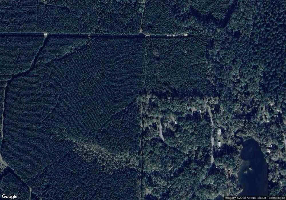
Map
Nearby Homes
- 193 Sycamore Ln
- 223 W Clearwater Dr
- 10847 U S 270
- 1228 Keg Mill Rd
- 2915 Ashley Rd
- 6200 Olloway Rd
- 9561 U S 270
- 6100 Olloway Rd
- 000 Grant 75 Grant 75
- TBD Sassafras Trail
- 3007 Besly Dr
- 14130 Dollarway Rd
- 9931 Grant 75
- 2506 Jamestown Dr
- 0000 Lanni Ln
- 0 Arabian Dr Unit 24032613
- 0 Highway 46 N
- 400 Mail Route Rd
- 199 Hardin Reed Rd
- 4411 Wagon Trace Cove
- Lot 56 Spillyards Dr
- 156 Spillyards Rd
- 113 Spillyards Rd
- 191 Spillyards Rd
- 97 Spillyards Rd
- 10 Sycamore Ln
- 982 W Clearwater Dr
- 956 W Clearwater Dr
- 551 Cedar Dr
- 0 Cedar Dr
- 870 W Clearwater Dr
- 906 W Clearwater Dr
- 808 W Clearwater Dr
- 497 Cedar Dr
- 783 W Clearwater Dr
- 765 E Clearwater Dr
- 434 Cedar Dr
- 737 E Clearwater Dr
- W Clearwater Dr
- 744 W Clearwater Dr