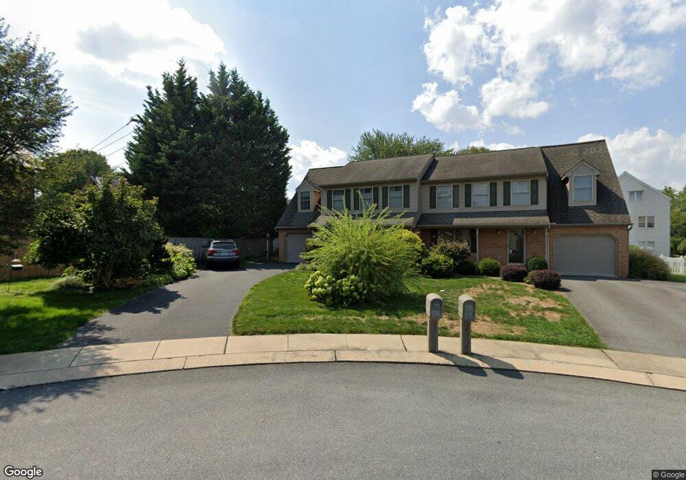
139 Springbrook Ct Lancaster, PA 17603
Rohrerstown NeighborhoodEstimated Value: $332,000 - $486,000
3
Beds
3
Baths
1,876
Sq Ft
$228/Sq Ft
Est. Value
About This Home
This home is located at 139 Springbrook Ct, Lancaster, PA 17603 and is currently estimated at $426,841, approximately $227 per square foot. 139 Springbrook Ct is a home located in Lancaster County with nearby schools including Rohrerstown Elementary School, Centerville Middle School, and Hempfield High School.
Ownership History
Date
Name
Owned For
Owner Type
Purchase Details
Closed on
Mar 18, 2002
Sold by
Kettering Robert D and Ketterline Builders Inc
Bought by
Bramble Emma C
Current Estimated Value
Home Financials for this Owner
Home Financials are based on the most recent Mortgage that was taken out on this home.
Original Mortgage
$140,000
Outstanding Balance
$57,864
Interest Rate
6.91%
Estimated Equity
$368,977
Create a Home Valuation Report for This Property
The Home Valuation Report is an in-depth analysis detailing your home's value as well as a comparison with similar homes in the area
Home Values in the Area
Average Home Value in this Area
Purchase History
| Date | Buyer | Sale Price | Title Company |
|---|---|---|---|
| Bramble Emma C | $155,749 | -- |
Source: Public Records
Mortgage History
| Date | Status | Borrower | Loan Amount |
|---|---|---|---|
| Open | Bramble Emma C | $140,000 |
Source: Public Records
Tax History
| Year | Tax Paid | Tax Assessment Tax Assessment Total Assessment is a certain percentage of the fair market value that is determined by local assessors to be the total taxable value of land and additions on the property. | Land | Improvement |
|---|---|---|---|---|
| 2025 | $4,864 | $225,100 | $49,300 | $175,800 |
| 2024 | $4,864 | $225,100 | $49,300 | $175,800 |
| 2023 | $4,767 | $225,100 | $49,300 | $175,800 |
| 2022 | $4,636 | $225,100 | $49,300 | $175,800 |
| 2021 | $4,562 | $225,100 | $49,300 | $175,800 |
| 2020 | $4,562 | $225,100 | $49,300 | $175,800 |
| 2019 | $4,485 | $225,100 | $49,300 | $175,800 |
| 2018 | $883 | $225,100 | $49,300 | $175,800 |
| 2017 | $4,240 | $168,400 | $41,800 | $126,600 |
| 2016 | $4,240 | $168,400 | $41,800 | $126,600 |
| 2015 | $851 | $168,400 | $41,800 | $126,600 |
| 2014 | $3,153 | $168,400 | $41,800 | $126,600 |
Source: Public Records
Map
Nearby Homes
- 421 Rohrerstown Rd
- 2120 Shaaron Dr
- 2318 Marietta Ave
- 2336 Wood St
- 737 Barr Blvd
- 0 Barrholly Dr
- 2458 Spring Water Cir
- 2456 Spring Water Cir
- 2454 Spring Water Cir
- 2457 Spring Water Cir
- 2482 Spring Water Cir
- 1428 Center Rd
- 1828 Buchers Mill
- 62 Oak Ln
- 100 Landon Way
- 266 Redwood Dr
- 416 Banyan Circle Dr
- 116 Teal Terrace
- 123 Pinnacle Point Dr
- 323 Millersville Rd
- 137 Springbrook Ct
- 133 Springbrook Ct
- 2103 Marietta Avenue F
- 2103 Marietta Avenue F Unit F
- 2101 Marietta Ave
- 2103C Marietta Ave
- 2021 Marietta Ave
- 128 Springbrook Ct
- 131 Springbrook Ct
- 127 Springbrook Ct
- 2103B Marietta Ave
- 2103 Marietta Ave Unit H
- 2103 Marietta Ave Unit G
- 2103 Marietta Ave Unit E
- 2103 Marietta Ave
- 2103 Marietta Ave Unit H
- 2103 Marietta Ave Unit G
- 2103 Marietta Ave Unit F
- 2103 Marietta Ave Unit E
- 2103 Marietta Ave Unit D
Your Personal Tour Guide
Ask me questions while you tour the home.