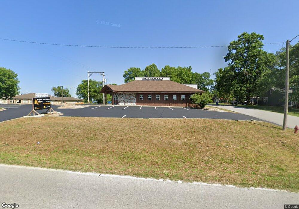
139 State Highway Y Forsyth, MO 65653
Estimated Value: $320,869
Studio
2
Baths
4,300
Sq Ft
$75/Sq Ft
Est. Value
About This Home
This home is located at 139 State Highway Y, Forsyth, MO 65653 and is currently estimated at $320,869, approximately $74 per square foot. 139 State Highway Y is a home located in Taney County with nearby schools including Forsyth Elementary School, Forsyth Middle School, and Forsyth High School.
Ownership History
Date
Name
Owned For
Owner Type
Purchase Details
Closed on
Sep 3, 2024
Sold by
Stennett Real Estate Properties Llc
Bought by
Christian Action Ministries
Current Estimated Value
Home Financials for this Owner
Home Financials are based on the most recent Mortgage that was taken out on this home.
Original Mortgage
$275,000
Outstanding Balance
$272,080
Interest Rate
6.77%
Mortgage Type
Credit Line Revolving
Estimated Equity
$48,789
Purchase Details
Closed on
Oct 4, 2017
Sold by
Stennett Enterprises Llc
Bought by
Stennett Real Estate Properties Llc
Create a Home Valuation Report for This Property
The Home Valuation Report is an in-depth analysis detailing your home's value as well as a comparison with similar homes in the area
Home Values in the Area
Average Home Value in this Area
Purchase History
| Date | Buyer | Sale Price | Title Company |
|---|---|---|---|
| Christian Action Ministries | -- | None Listed On Document | |
| Stennett Real Estate Properties Llc | -- | None Available |
Source: Public Records
Mortgage History
| Date | Status | Borrower | Loan Amount |
|---|---|---|---|
| Open | Christian Action Ministries | $275,000 |
Source: Public Records
Tax History
| Year | Tax Paid | Tax Assessment Tax Assessment Total Assessment is a certain percentage of the fair market value that is determined by local assessors to be the total taxable value of land and additions on the property. | Land | Improvement |
|---|---|---|---|---|
| 2025 | $4,382 | -- | -- | -- |
| 2023 | $4,382 | $87,440 | $0 | $0 |
| 2022 | $4,329 | $87,440 | $0 | $0 |
| 2021 | $4,319 | $87,440 | $0 | $0 |
| 2019 | $4,467 | $87,440 | $0 | $0 |
| 2018 | $4,449 | $87,440 | $0 | $0 |
| 2017 | $4,447 | $87,440 | $0 | $0 |
| 2016 | $5,261 | $103,900 | $0 | $0 |
| 2015 | $5,262 | $103,900 | $0 | $0 |
| 2014 | $4,725 | $91,720 | $0 | $0 |
Source: Public Records
Map
Nearby Homes
- 000 U S 160
- 176 Arnold Place
- 217 Wichita Ave
- 290 Atchison Ave
- 16500 State Hwy 160 Hwy
- 500 State Highway Y
- 573 Shadowrock Dr
- 150 Sunken Forest Dr Unit 10-251
- 150 Sunken Forest Dr Unit 10-242
- 150 Sunken Forest Dr Unit 235
- 150 Sunken Forest Dr Unit 10-245
- 150 Sunken Forest Dr Unit 96
- 150 Sunken Forest Dr Unit 8-205
- 150 Sunken Forest Dr Unit 190
- 150 Sunken Forest Dr Unit 243
- 150 Sunken Forest Dr Unit 101
- Us U S 160
- 20376 U S 160
- 240 Division St
- 474 Rocky Point Loop
- 714 Rockhill Dr
- 172 State Highway Y
- 696 Rockhill Dr
- 128 Buxton Rd
- 141 Buxton St
- 0 U S 160 Unit 10900391
- 0 U S 160 Unit 60134140
- 0 U S 160 Unit 60134247
- 0 U S 160 Unit 60134243
- Tbd U S 160
- 13923 U S 160
- 13295 U S 160
- 00 U S 160
- 15987 U S 160
- 0 U S 160
- Tba U S 160
- 128 Buxton St
- 16310 U S 160
- 16257 Us Highway 160
- 16257 U S 160
Your Personal Tour Guide
Ask me questions while you tour the home.