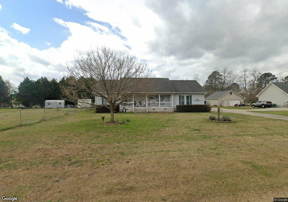
139 Stonefield Cir Macon, GA 31216
Estimated Value: $267,000 - $274,000
3
Beds
2
Baths
2,103
Sq Ft
$129/Sq Ft
Est. Value
About This Home
This home is located at 139 Stonefield Cir, Macon, GA 31216 and is currently estimated at $270,637, approximately $128 per square foot. 139 Stonefield Cir is a home located in Bibb County with nearby schools including Porter Elementary School, Rutland Middle School, and Rutland High School.
Ownership History
Date
Name
Owned For
Owner Type
Purchase Details
Closed on
Apr 6, 2005
Sold by
Perez Vincente
Bought by
Perez Kay G
Current Estimated Value
Home Financials for this Owner
Home Financials are based on the most recent Mortgage that was taken out on this home.
Original Mortgage
$17,500
Outstanding Balance
$5,015
Interest Rate
5.62%
Mortgage Type
Credit Line Revolving
Estimated Equity
$265,622
Purchase Details
Closed on
Jan 4, 2000
Create a Home Valuation Report for This Property
The Home Valuation Report is an in-depth analysis detailing your home's value as well as a comparison with similar homes in the area
Home Values in the Area
Average Home Value in this Area
Purchase History
| Date | Buyer | Sale Price | Title Company |
|---|---|---|---|
| Perez Kay G | -- | None Available | |
| -- | $89,500 | -- |
Source: Public Records
Mortgage History
| Date | Status | Borrower | Loan Amount |
|---|---|---|---|
| Open | Perez Kay G | $17,500 |
Source: Public Records
Tax History Compared to Growth
Tax History
| Year | Tax Paid | Tax Assessment Tax Assessment Total Assessment is a certain percentage of the fair market value that is determined by local assessors to be the total taxable value of land and additions on the property. | Land | Improvement |
|---|---|---|---|---|
| 2025 | $2,146 | $94,332 | $14,000 | $80,332 |
| 2024 | $2,196 | $93,474 | $14,000 | $79,474 |
| 2023 | $1,377 | $79,218 | $14,000 | $65,218 |
| 2022 | $2,507 | $79,419 | $9,936 | $69,483 |
| 2021 | $2,366 | $69,268 | $8,350 | $60,918 |
| 2020 | $2,219 | $64,151 | $7,515 | $56,636 |
| 2019 | $2,100 | $60,640 | $6,680 | $53,960 |
| 2018 | $3,235 | $57,964 | $6,680 | $51,284 |
| 2017 | $1,820 | $55,581 | $6,974 | $48,607 |
| 2016 | $1,681 | $55,581 | $6,974 | $48,607 |
| 2015 | $1,950 | $46,819 | $6,974 | $39,846 |
| 2014 | $1,954 | $46,819 | $6,974 | $39,846 |
Source: Public Records
Map
Nearby Homes
- 3685 Dean Dr
- 137 Stonefield Cir
- 137 Stonefield Cir Unit 58
- 3691 Dean Dr Unit 61
- 3691 Dean Dr
- 138 Stonefield Cir
- 142 Stonefield Cir
- 3697 Dean Dr
- 131 Stonefield Cir
- 134 Stonefield Cir
- 5884 Angela Place
- 146 Stonefield Cir
- 3678 Holly Place
- 130 Stonefield Cir
- 5876 Angela Place
- 5894 Angela Place
- 3684 Dean Dr
- 148 Stonefield Cir
- 133 Ellis Way
- 125 Stonefield Cir