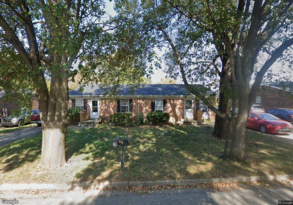
139 Towson Way Unit A&B Georgetown, KY 40324
Mount Vernon NeighborhoodEstimated Value: $215,000 - $299,000
4
Beds
2
Baths
1,750
Sq Ft
$144/Sq Ft
Est. Value
About This Home
This home is located at 139 Towson Way Unit A&B, Georgetown, KY 40324 and is currently estimated at $251,559, approximately $143 per square foot. 139 Towson Way Unit A&B is a home located in Scott County with nearby schools including Southern Elementary School, Creekside Elementary School, and Georgetown Middle School.
Ownership History
Date
Name
Owned For
Owner Type
Purchase Details
Closed on
Nov 2, 2021
Sold by
Jwmc Properties Llc
Bought by
12M Llc
Current Estimated Value
Home Financials for this Owner
Home Financials are based on the most recent Mortgage that was taken out on this home.
Original Mortgage
$620,000
Outstanding Balance
$403,143
Interest Rate
2.88%
Mortgage Type
New Conventional
Estimated Equity
-$151,584
Create a Home Valuation Report for This Property
The Home Valuation Report is an in-depth analysis detailing your home's value as well as a comparison with similar homes in the area
Home Values in the Area
Average Home Value in this Area
Purchase History
| Date | Buyer | Sale Price | Title Company |
|---|---|---|---|
| 12M Llc | -- | Webb Hoskins Brown & Thompson |
Source: Public Records
Mortgage History
| Date | Status | Borrower | Loan Amount |
|---|---|---|---|
| Open | 12M Llc | $620,000 |
Source: Public Records
Tax History Compared to Growth
Tax History
| Year | Tax Paid | Tax Assessment Tax Assessment Total Assessment is a certain percentage of the fair market value that is determined by local assessors to be the total taxable value of land and additions on the property. | Land | Improvement |
|---|---|---|---|---|
| 2024 | $1,394 | $155,000 | $0 | $0 |
| 2023 | $1,405 | $155,000 | $30,000 | $125,000 |
| 2022 | $1,318 | $155,000 | $30,000 | $125,000 |
| 2021 | $1,130 | $120,000 | $30,000 | $90,000 |
| 2020 | $1,030 | $119,900 | $30,000 | $89,900 |
| 2019 | $988 | $113,200 | $0 | $0 |
| 2018 | $910 | $104,880 | $0 | $0 |
| 2017 | $915 | $104,880 | $0 | $0 |
| 2016 | $844 | $104,880 | $0 | $0 |
| 2015 | $839 | $104,880 | $0 | $0 |
| 2014 | $870 | $104,880 | $0 | $0 |
| 2011 | $70 | $113,200 | $0 | $0 |
Source: Public Records
Map
Nearby Homes
- 139 E Showalter Dr
- 224 E Showalter Dr
- 102 Browning Dr
- 230 E Showalter Dr
- 1338 Liberty Dr Unit A and B
- 1117 Pawnee Trail
- 139 Hawthorne Dr
- 107 Oconner Ct
- 212 Pocahontas Trail
- 198 Hiawatha Trail
- 412 Cheyenne Trail
- 1363 Bridges Creek Ct
- 1020 Parkside Dr
- 1115 Southpoint Dr
- 301 Aztec Trail
- 1115 Apache Trail
- 151 Hemingway Place
- 235 Ransom Trace
- 129 Irving Ln
- 132 Rucker Ave
- 139 Towson Way
- 139 Towson Way Unit : A&B
- 139A Towson Way Unit 139B
- 141 Towson Way Unit B
- 141 Towson Way Unit A&B
- 141 Towson Way Unit A
- 141 Towson Way Unit : A&B
- 141A Towson Way Unit 141B
- 137 Towson Way Unit A & B
- 143 Towson Way Unit B
- 143 Towson Way Unit A & B
- 143 Towson Way Unit A
- 143A Towson Way Unit 143B
- 204 Markham Dr
- 208 Markham Dr
- 200 Markham Dr
- 212 Markham Dr
- 216 Markham Dr
- 220 Markham Dr
- 145A Towson Way Unit 145B