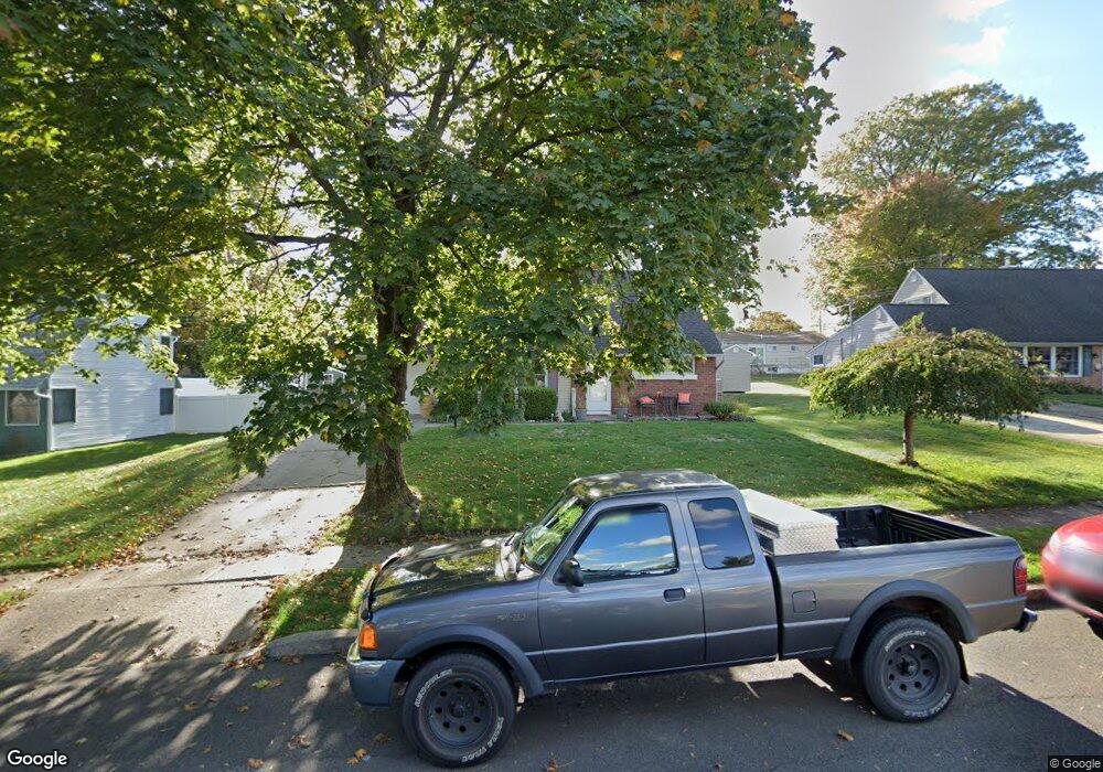
139 Upper Orchard Dr Levittown, PA 19056
Estimated Value: $376,000 - $422,000
4
Beds
2
Baths
1,275
Sq Ft
$311/Sq Ft
Est. Value
About This Home
This home is located at 139 Upper Orchard Dr, Levittown, PA 19056 and is currently estimated at $397,044, approximately $311 per square foot. 139 Upper Orchard Dr is a home located in Bucks County with nearby schools including Walter Miller Elementary School, Sandburg Middle School, and Neshaminy High School.
Ownership History
Date
Name
Owned For
Owner Type
Purchase Details
Closed on
Mar 29, 1996
Sold by
Kaczor Thomas Scott
Bought by
Carnley James D and Carnley Carol
Current Estimated Value
Home Financials for this Owner
Home Financials are based on the most recent Mortgage that was taken out on this home.
Original Mortgage
$105,900
Outstanding Balance
$4,965
Interest Rate
7.31%
Mortgage Type
FHA
Estimated Equity
$392,079
Purchase Details
Closed on
Jun 6, 1991
Bought by
Kaczor Thomas Scott
Create a Home Valuation Report for This Property
The Home Valuation Report is an in-depth analysis detailing your home's value as well as a comparison with similar homes in the area
Home Values in the Area
Average Home Value in this Area
Purchase History
| Date | Buyer | Sale Price | Title Company |
|---|---|---|---|
| Carnley James D | $106,000 | -- | |
| Kaczor Thomas Scott | $82,000 | -- |
Source: Public Records
Mortgage History
| Date | Status | Borrower | Loan Amount |
|---|---|---|---|
| Open | Carnley James D | $105,900 |
Source: Public Records
Tax History Compared to Growth
Tax History
| Year | Tax Paid | Tax Assessment Tax Assessment Total Assessment is a certain percentage of the fair market value that is determined by local assessors to be the total taxable value of land and additions on the property. | Land | Improvement |
|---|---|---|---|---|
| 2025 | $4,250 | $19,520 | $4,440 | $15,080 |
| 2024 | $4,250 | $19,520 | $4,440 | $15,080 |
| 2023 | $4,182 | $19,520 | $4,440 | $15,080 |
| 2022 | $4,072 | $19,520 | $4,440 | $15,080 |
| 2021 | $4,072 | $19,520 | $4,440 | $15,080 |
| 2020 | $4,023 | $19,520 | $4,440 | $15,080 |
| 2019 | $3,934 | $19,520 | $4,440 | $15,080 |
| 2018 | $3,861 | $19,520 | $4,440 | $15,080 |
| 2017 | $3,763 | $19,520 | $4,440 | $15,080 |
| 2016 | $3,763 | $19,520 | $4,440 | $15,080 |
| 2015 | $3,952 | $19,520 | $4,440 | $15,080 |
| 2014 | $3,952 | $19,520 | $4,440 | $15,080 |
Source: Public Records
Map
Nearby Homes
- 137 Upper Orchard Dr
- 1855 Eastend Ave
- 147 Upper Orchard Dr
- 1853 Eastend Ave
- 133 Upper Orchard Dr
- 2 Upland Rd
- 1 Umber Rd
- 1879 Eastend Ave
- 146 Upper Orchard Dr
- 149 Upper Orchard Dr
- 127 Upper Orchard Dr
- 4 Upland Rd
- 1855 End Ave
- 7 Umber Rd
- 5 Upland Rd
- 153 Upper Orchard Dr
- 150 Upper Orchard Dr
- 1831 Eastend Ave
- 1829 Eastend Ave
- 1856 Eastend Ave