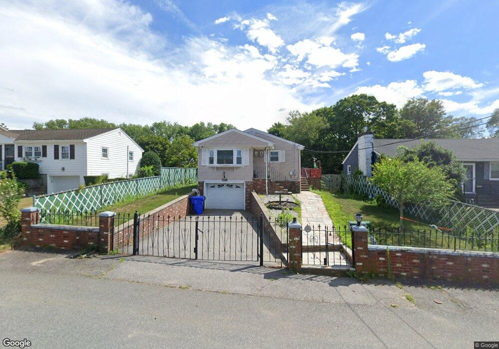
139 Vincent Ave East Providence, RI 02914
Outer East Bay NeighborhoodEstimated Value: $406,264 - $452,000
3
Beds
1
Bath
1,476
Sq Ft
$289/Sq Ft
Est. Value
About This Home
This home is located at 139 Vincent Ave, East Providence, RI 02914 and is currently estimated at $426,066, approximately $288 per square foot. 139 Vincent Ave is a home located in Providence County with nearby schools including East Providence High School, The Gordon School, and St Mary Academy-Bay View.
Ownership History
Date
Name
Owned For
Owner Type
Purchase Details
Closed on
Dec 21, 2015
Sold by
Bernardo Maria M
Bought by
Bernardo Eddy and Medeiro-Pereira Carla
Current Estimated Value
Purchase Details
Closed on
Jul 27, 1993
Sold by
Schultz Alice M
Bought by
Bernardo Eduardo C
Home Financials for this Owner
Home Financials are based on the most recent Mortgage that was taken out on this home.
Original Mortgage
$65,000
Interest Rate
7.43%
Mortgage Type
Purchase Money Mortgage
Create a Home Valuation Report for This Property
The Home Valuation Report is an in-depth analysis detailing your home's value as well as a comparison with similar homes in the area
Home Values in the Area
Average Home Value in this Area
Purchase History
| Date | Buyer | Sale Price | Title Company |
|---|---|---|---|
| Bernardo Eddy | -- | -- | |
| Bernardo Eduardo C | $98,000 | -- | |
| Bernardo Eddy | -- | -- | |
| Bernardo Eduardo C | $98,000 | -- |
Source: Public Records
Mortgage History
| Date | Status | Borrower | Loan Amount |
|---|---|---|---|
| Previous Owner | Bernardo Eduardo C | $65,000 |
Source: Public Records
Tax History Compared to Growth
Tax History
| Year | Tax Paid | Tax Assessment Tax Assessment Total Assessment is a certain percentage of the fair market value that is determined by local assessors to be the total taxable value of land and additions on the property. | Land | Improvement |
|---|---|---|---|---|
| 2025 | $5,015 | $383,700 | $129,100 | $254,600 |
| 2024 | $4,670 | $304,600 | $107,700 | $196,900 |
| 2023 | $4,496 | $304,600 | $107,700 | $196,900 |
| 2022 | $4,044 | $185,000 | $58,900 | $126,100 |
| 2021 | $3,978 | $185,000 | $58,000 | $127,000 |
| 2020 | $3,809 | $185,000 | $58,000 | $127,000 |
| 2019 | $3,704 | $185,000 | $58,000 | $127,000 |
| 2018 | $3,908 | $170,800 | $50,900 | $119,900 |
| 2017 | $3,821 | $170,800 | $50,900 | $119,900 |
| 2016 | $3,802 | $170,800 | $50,900 | $119,900 |
| 2015 | $3,679 | $160,300 | $52,300 | $108,000 |
| 2014 | $3,679 | $160,300 | $52,300 | $108,000 |
Source: Public Records
Map
Nearby Homes
- 87 Vincent Ave
- 82 Martin St
- 180 Grassmere Ave
- 1402 S Broadway
- 1463 S Broadway
- 93 Crown Ave
- 74 Brookhaven Dr
- 10 Kettle Point Ave
- 10 Fairfield Ave
- 50 Kettle Point Ave Unit 50
- 53 Wampanoag Trail
- 83 Mountain Ave
- 25 Fairview Ave
- 164 Brightridge Ave
- 25 Ide Ave
- 108 Ivan Ave
- 59 Merritt Rd
- 109 Bliss St
- 108 Bliss St
- 400 Juniper St Unit C
- 137 Vincent Ave
- 141 Vincent Ave
- 135 Vincent Ave
- 144 Vincent Ave
- 140 Vincent Ave
- 145 Vincent Ave
- 142 Vincent Ave
- 152 Vincent Ave
- 323 Dodge St
- 156 Vincent Ave
- 307 Dodge St
- 140 Hazard Ave
- 120 Hazard Ave
- 132 Hazard Ave
- 136 Hazard Ave
- 2 Progress Ave
- 160 Vincent Ave
- 128 Hazard Ave
- 144 Hazard Ave
- 144 Hazard Ave Unit 2