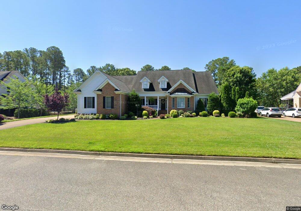
139 W Laydon Way Poquoson, VA 23662
Poquoson City Center NeighborhoodEstimated Value: $861,598 - $1,033,000
5
Beds
5
Baths
4,939
Sq Ft
$196/Sq Ft
Est. Value
About This Home
This home is located at 139 W Laydon Way, Poquoson, VA 23662 and is currently estimated at $968,900, approximately $196 per square foot. 139 W Laydon Way is a home located in Poquoson City with nearby schools including Emmanuel Lutheran School and Summit Christian Academy - Upper School.
Ownership History
Date
Name
Owned For
Owner Type
Purchase Details
Closed on
Aug 22, 2013
Sold by
Farrell Terrence H
Bought by
Grainger Rodney B
Current Estimated Value
Home Financials for this Owner
Home Financials are based on the most recent Mortgage that was taken out on this home.
Original Mortgage
$474,000
Outstanding Balance
$352,637
Interest Rate
4.4%
Mortgage Type
New Conventional
Estimated Equity
$616,263
Purchase Details
Closed on
Aug 7, 2002
Sold by
Tabb Developmetn Co Llc
Bought by
Newton R Perkins Bldrs Inc
Create a Home Valuation Report for This Property
The Home Valuation Report is an in-depth analysis detailing your home's value as well as a comparison with similar homes in the area
Home Values in the Area
Average Home Value in this Area
Purchase History
| Date | Buyer | Sale Price | Title Company |
|---|---|---|---|
| Grainger Rodney B | $592,500 | -- | |
| Newton R Perkins Bldrs Inc | $66,900 | -- |
Source: Public Records
Mortgage History
| Date | Status | Borrower | Loan Amount |
|---|---|---|---|
| Open | Grainger Rodney B | $474,000 |
Source: Public Records
Tax History Compared to Growth
Tax History
| Year | Tax Paid | Tax Assessment Tax Assessment Total Assessment is a certain percentage of the fair market value that is determined by local assessors to be the total taxable value of land and additions on the property. | Land | Improvement |
|---|---|---|---|---|
| 2024 | $9,234 | $810,000 | $129,400 | $680,600 |
| 2023 | $8,991 | $810,000 | $129,400 | $680,600 |
| 2022 | $8,250 | $730,100 | $129,500 | $600,600 |
| 2021 | $8,250 | $730,100 | $129,500 | $600,600 |
| 2020 | $0 | $661,700 | $129,500 | $532,200 |
| 2019 | -- | $661,700 | $129,500 | $532,200 |
| 2018 | -- | $648,000 | $129,500 | $518,500 |
| 2017 | -- | $648,000 | $129,500 | $518,500 |
| 2016 | -- | $648,000 | $129,500 | $518,500 |
| 2015 | -- | $591,100 | $129,500 | $461,600 |
| 2013 | -- | $591,100 | $129,500 | $461,600 |
Source: Public Records
Map
Nearby Homes
- 208 Little Florida Rd
- 128 Robert Bruce Rd
- 119 Robert Bruce Rd
- 117 Robert Bruce Rd
- 10 Kathy Dr
- 122 Robert Bruce Rd
- 120 Robert Bruce Rd
- 111 Robert Bruce Rd
- 129 Robert Bruce Rd
- 109 Robert Bruce Rd
- 15 Robert Bruce Rd
- 104 Robert Bruce Rd
- 108 Robert Bruce Rd
- 1020 Poquoson Ave
- 1020 Poquoson Ave Unit C
- 412 Joseph Topping Dr
- 304 Odd Rd
- 8.5AC Poquoson Ave
- 7 Quail Cove
- 1 Smith St
- 141 W Laydon Way
- 199 Cedar Rd
- 137 W Laydon Way
- 197 Cedar Rd
- 138 W Laydon Way
- 140 W Laydon Way
- 143 W Laydon Way
- 203 Cedar Rd
- 201 Cedar Rd
- 1 High Cedar Way
- 195 Cedar Rd
- 207 Cedar Rd
- 145 W Laydon Way
- 193 Cedar Rd
- 3 High Cedar Way
- 2 High Cedar Way
- 213 Cedar Rd
- 4 Berry Field Cir
- 2 Berry Field Cir
- 4 Berryfield Cir