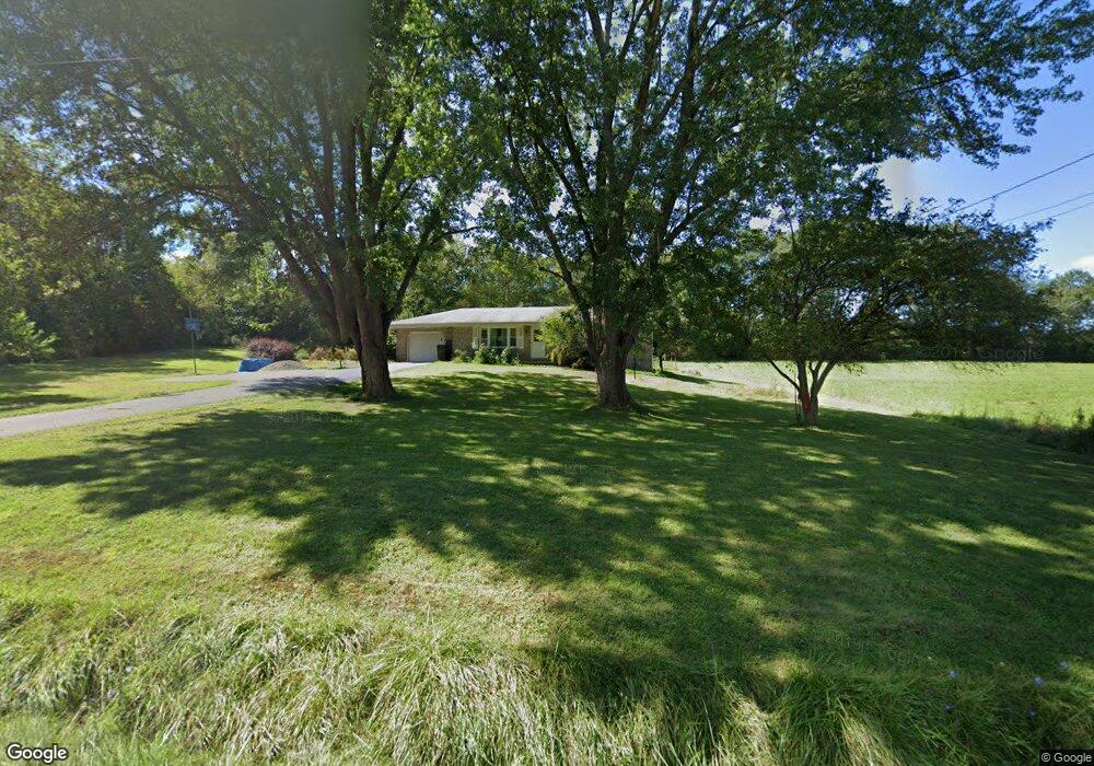
139 Wansack Rd West Middlesex, PA 16159
Estimated Value: $64,000 - $306,000
--
Bed
--
Bath
--
Sq Ft
1.52
Acres
About This Home
This home is located at 139 Wansack Rd, West Middlesex, PA 16159 and is currently estimated at $153,491. 139 Wansack Rd is a home located in Mercer County with nearby schools including Luther W Low Elementary School, Oakview Elementary School, and West Middlesex Junior/Senior High School.
Ownership History
Date
Name
Owned For
Owner Type
Purchase Details
Closed on
Aug 1, 2014
Sold by
Maskornick Margaret A
Bought by
Nale Rose
Current Estimated Value
Home Financials for this Owner
Home Financials are based on the most recent Mortgage that was taken out on this home.
Original Mortgage
$62,000
Outstanding Balance
$47,398
Interest Rate
4.18%
Mortgage Type
New Conventional
Estimated Equity
$106,093
Purchase Details
Closed on
Jun 12, 2009
Sold by
Maskornick Thomas S and Maskornick Margaret A
Bought by
Maskornick Margaret A
Create a Home Valuation Report for This Property
The Home Valuation Report is an in-depth analysis detailing your home's value as well as a comparison with similar homes in the area
Home Values in the Area
Average Home Value in this Area
Purchase History
| Date | Buyer | Sale Price | Title Company |
|---|---|---|---|
| Nale Rose | $84,700 | None Available | |
| Maskornick Margaret A | -- | None Available |
Source: Public Records
Mortgage History
| Date | Status | Borrower | Loan Amount |
|---|---|---|---|
| Open | Nale Rose | $62,000 |
Source: Public Records
Tax History Compared to Growth
Tax History
| Year | Tax Paid | Tax Assessment Tax Assessment Total Assessment is a certain percentage of the fair market value that is determined by local assessors to be the total taxable value of land and additions on the property. | Land | Improvement |
|---|---|---|---|---|
| 2025 | $2,064 | $18,300 | $1,950 | $16,350 |
| 2024 | $2,064 | $18,300 | $1,950 | $16,350 |
| 2023 | $2,000 | $18,300 | $1,950 | $16,350 |
| 2022 | $1,981 | $18,300 | $1,950 | $16,350 |
| 2021 | $1,951 | $18,300 | $1,950 | $16,350 |
| 2020 | $1,951 | $18,300 | $1,950 | $16,350 |
| 2019 | $1,884 | $18,300 | $1,950 | $16,350 |
| 2018 | $1,844 | $18,300 | $1,950 | $16,350 |
| 2017 | $1,817 | $18,300 | $1,950 | $16,350 |
| 2016 | -- | $18,300 | $1,950 | $16,350 |
| 2015 | -- | $18,300 | $1,950 | $16,350 |
| 2014 | -- | $18,300 | $1,950 | $16,350 |
Source: Public Records
Map
Nearby Homes
- 1 Grandview Dr
- 11 Clubhouse Dr
- 104 Fruit Ave
- 223 Emerson Ave
- 115 Fleetwood Ct
- 164 Chestnut St
- 300 Beechwood Ave
- 3404 Hubbard-Middlesex Rd
- 411 Emerson Ave
- 506 Spearman Ave
- 327 Lincoln Ave
- 522 Wallis Ave
- 504 Beechwood Ave
- 1952 Hubbard Masury Rd
- 1212 Negley St
- 609 Park Ave
- 88 Fetsko Rd
- 715 Hamilton Ave
- 1228 Washington St
- 624 Park Ave Unit 626