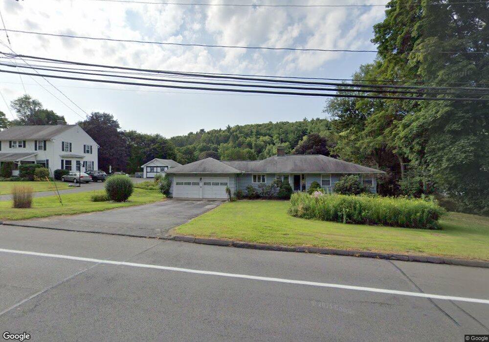
139 Watertown Rd Thomaston, CT 06787
Estimated Value: $304,734 - $348,000
2
Beds
1
Bath
1,400
Sq Ft
$238/Sq Ft
Est. Value
About This Home
This home is located at 139 Watertown Rd, Thomaston, CT 06787 and is currently estimated at $333,184, approximately $237 per square foot. 139 Watertown Rd is a home located in Litchfield County with nearby schools including Black Rock School, Thomaston Center School, and Thomaston High School.
Ownership History
Date
Name
Owned For
Owner Type
Purchase Details
Closed on
Aug 31, 2010
Sold by
Friez Linda
Bought by
Karas Robert
Current Estimated Value
Purchase Details
Closed on
Nov 18, 1992
Sold by
Waters Doris and Seabourne George
Bought by
Friez Linda
Home Financials for this Owner
Home Financials are based on the most recent Mortgage that was taken out on this home.
Original Mortgage
$114,000
Interest Rate
7.95%
Mortgage Type
Unknown
Create a Home Valuation Report for This Property
The Home Valuation Report is an in-depth analysis detailing your home's value as well as a comparison with similar homes in the area
Home Values in the Area
Average Home Value in this Area
Purchase History
| Date | Buyer | Sale Price | Title Company |
|---|---|---|---|
| Karas Robert | $179,950 | -- | |
| Friez Linda | $120,000 | -- |
Source: Public Records
Mortgage History
| Date | Status | Borrower | Loan Amount |
|---|---|---|---|
| Previous Owner | Friez Linda | $114,000 |
Source: Public Records
Tax History Compared to Growth
Tax History
| Year | Tax Paid | Tax Assessment Tax Assessment Total Assessment is a certain percentage of the fair market value that is determined by local assessors to be the total taxable value of land and additions on the property. | Land | Improvement |
|---|---|---|---|---|
| 2025 | $4,469 | $124,810 | $41,650 | $83,160 |
| 2024 | $4,288 | $124,810 | $41,650 | $83,160 |
| 2023 | $4,197 | $124,810 | $41,650 | $83,160 |
| 2022 | $4,008 | $124,810 | $41,650 | $83,160 |
| 2021 | $3,900 | $107,940 | $41,650 | $66,290 |
| 2020 | $3,900 | $107,940 | $41,650 | $66,290 |
| 2019 | $3,943 | $107,940 | $41,650 | $66,290 |
| 2018 | $3,863 | $107,940 | $41,650 | $66,290 |
| 2017 | $3,783 | $107,940 | $41,650 | $66,290 |
| 2016 | $3,742 | $109,830 | $39,620 | $70,210 |
| 2015 | $3,694 | $109,830 | $39,620 | $70,210 |
| 2014 | $3,694 | $109,830 | $39,620 | $70,210 |
Source: Public Records
Map
Nearby Homes
- 43 Pine Hill Rd
- 34 Warner Ln
- 197 Pine Hill Rd Unit 2D
- 2 Branch Rd Unit 6F
- 143 Pine Hill Rd Unit 20C
- 143 Pine Hill Rd Unit 15F
- 100 Pleasant View Rd
- 228 Reynolds Bridge Rd
- 212 Branch Rd
- 147 Cedar Mountain Rd
- 42 Litchfield St
- 58 Litchfield St
- 96 Elm St
- 252 Litchfield St
- 22 Park St
- 194 Carter Rd
- 17 George St
- 397 Walnut Hill Rd
- 56 Hillside Ave
- 785 Main St
- 127 Watertown Rd
- 21 Stumpf Ave
- 141 Watertown Rd
- 25 Stumpf Ave
- 15 Stumpf Ave
- 31 Stumpf Ave
- 119 Watertown Rd
- 124 Watertown Rd
- 150 Watertown Rd
- 35 Stumpf Ave
- 126 Pine Hill Rd
- 41 Stumpf Ave
- 35 Leigh Ave
- 32 Stumpf Ave
- 8 Leigh Ave
- 118 Pine Hill Rd
- 36 Stumpf Ave
- 110 Pine Hill Rd
- 49 Stumpf Ave
- 97 Watertown Rd