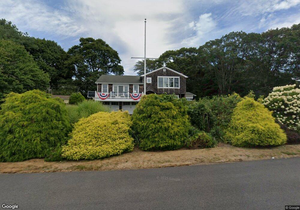
139 West Bay Dr Narragansett, RI 02882
Estimated Value: $1,153,000 - $1,341,268
3
Beds
4
Baths
2,688
Sq Ft
$478/Sq Ft
Est. Value
About This Home
This home is located at 139 West Bay Dr, Narragansett, RI 02882 and is currently estimated at $1,284,317, approximately $477 per square foot. 139 West Bay Dr is a home located in Washington County with nearby schools including Narragansett Elementary School, Narragansett Pier Middle School, and Narragansett High School.
Ownership History
Date
Name
Owned For
Owner Type
Purchase Details
Closed on
Feb 23, 2023
Sold by
Sylvia Stephen and Sylvia Patricia S
Bought by
Sylvia Ft
Current Estimated Value
Purchase Details
Closed on
Jun 29, 1989
Sold by
Mitchell Robert
Bought by
Lylvia Stephen
Create a Home Valuation Report for This Property
The Home Valuation Report is an in-depth analysis detailing your home's value as well as a comparison with similar homes in the area
Home Values in the Area
Average Home Value in this Area
Purchase History
| Date | Buyer | Sale Price | Title Company |
|---|---|---|---|
| Sylvia Ft | -- | None Available | |
| Lylvia Stephen | $310,000 | -- |
Source: Public Records
Mortgage History
| Date | Status | Borrower | Loan Amount |
|---|---|---|---|
| Previous Owner | Lylvia Stephen | $375,000 | |
| Previous Owner | Lylvia Stephen | $150,000 |
Source: Public Records
Tax History Compared to Growth
Tax History
| Year | Tax Paid | Tax Assessment Tax Assessment Total Assessment is a certain percentage of the fair market value that is determined by local assessors to be the total taxable value of land and additions on the property. | Land | Improvement |
|---|---|---|---|---|
| 2025 | $8,320 | $1,225,300 | $600,300 | $625,000 |
| 2024 | $8,026 | $1,225,300 | $600,300 | $625,000 |
| 2023 | $7,628 | $819,300 | $375,100 | $444,200 |
| 2022 | $7,374 | $819,300 | $375,100 | $444,200 |
| 2021 | $7,259 | $819,300 | $375,100 | $444,200 |
| 2020 | $6,775 | $646,500 | $298,300 | $348,200 |
| 2019 | $6,614 | $646,500 | $298,300 | $348,200 |
| 2018 | $6,087 | $611,800 | $298,300 | $313,500 |
| 2017 | $6,235 | $590,400 | $279,300 | $311,100 |
| 2016 | $5,951 | $590,400 | $279,300 | $311,100 |
| 2015 | $5,869 | $590,400 | $279,300 | $311,100 |
| 2014 | $6,694 | $666,700 | $302,500 | $364,200 |
Source: Public Records
Map
Nearby Homes
- 0 S River Dr
- 46 S River Dr
- 11 Tupelo Trail
- 19 Leeann Dr
- 121 Spice Bush Trail
- 7 Leatherleaf Rd
- 80 Old Pine Rd
- 991 Middlebridge Rd
- 0 Johnny Cake Trail Trail S Unit 1391340
- 727 Boston Neck Rd
- 0 Betty Dr
- 0 Indian Trail Trail S Unit 1389828
- 416 Bridgetown Rd
- 91 Bonnet Point Rd
- 51 Bonnet Shores Rd
- 175 Bonnet Point Rd Unit K13
- 53 Bonnet Shores Rd
- 177 Indian Trail S
- 18 Lakeview Dr
- 229 Saugatucket Rd
- 54 Woodridge Rd
- 56 Woodridge Rd
- 133 West Bay Dr
- 138 West Bay Dr
- 133 W Bay Dr
- 50 Woodridge Rd
- 46 Woodridge Rd
- 2 S River Dr
- 44 Woodridge Rd
- 55 Woodridge Rd
- 127 West Bay Dr
- 4 S River Dr
- 51 Woodridge Rd
- 6 S River Dr
- 40 Woodridge Rd
- 15 S River Dr
- 5 Wayland Trail
- 121 West Bay Dr
- 10 Wayland Trail
- 16 S River Dr