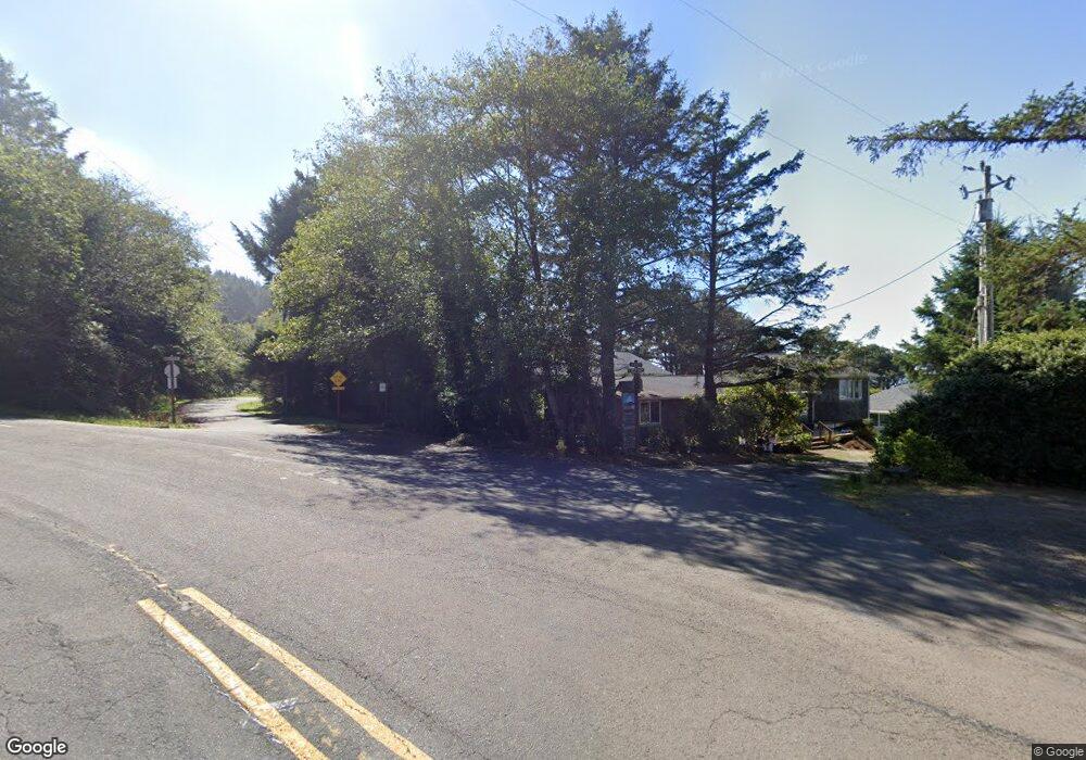
139 West Way Cannon Beach, OR 97110
Estimated Value: $1,307,000 - $1,532,217
3
Beds
3
Baths
2,182
Sq Ft
$654/Sq Ft
Est. Value
About This Home
This home is located at 139 West Way, Cannon Beach, OR 97110 and is currently estimated at $1,427,054, approximately $654 per square foot. 139 West Way is a home located in Clatsop County with nearby schools including Seaside High School and The Cannon Beach Academy.
Ownership History
Date
Name
Owned For
Owner Type
Purchase Details
Closed on
Feb 24, 2016
Sold by
Kroll Robert A and Kroll Nancy T
Bought by
The Kroll Family Trust
Current Estimated Value
Purchase Details
Closed on
Mar 24, 2006
Sold by
Gray Kyle
Bought by
Kroll Robert A and Kroll Nancy T
Home Financials for this Owner
Home Financials are based on the most recent Mortgage that was taken out on this home.
Original Mortgage
$564,000
Outstanding Balance
$317,807
Interest Rate
6.12%
Mortgage Type
Fannie Mae Freddie Mac
Estimated Equity
$1,109,247
Create a Home Valuation Report for This Property
The Home Valuation Report is an in-depth analysis detailing your home's value as well as a comparison with similar homes in the area
Home Values in the Area
Average Home Value in this Area
Purchase History
| Date | Buyer | Sale Price | Title Company |
|---|---|---|---|
| The Kroll Family Trust | -- | None Available | |
| Kroll Robert A | $705,000 | Ticor Title Ins Co |
Source: Public Records
Mortgage History
| Date | Status | Borrower | Loan Amount |
|---|---|---|---|
| Open | Kroll Robert A | $564,000 |
Source: Public Records
Tax History Compared to Growth
Tax History
| Year | Tax Paid | Tax Assessment Tax Assessment Total Assessment is a certain percentage of the fair market value that is determined by local assessors to be the total taxable value of land and additions on the property. | Land | Improvement |
|---|---|---|---|---|
| 2024 | $7,593 | $601,539 | -- | -- |
| 2023 | $6,860 | $584,019 | $0 | $0 |
| 2022 | $6,682 | $567,010 | $0 | $0 |
| 2021 | $6,545 | $550,496 | $0 | $0 |
| 2020 | $6,431 | $534,463 | $0 | $0 |
| 2019 | $6,045 | $518,897 | $0 | $0 |
| 2018 | $5,728 | $503,785 | $0 | $0 |
| 2017 | $5,505 | $489,112 | $0 | $0 |
| 2016 | $4,735 | $474,867 | $256,344 | $218,523 |
| 2015 | $4,545 | $461,037 | $248,878 | $212,159 |
| 2014 | $4,399 | $447,610 | $0 | $0 |
| 2013 | -- | $434,574 | $0 | $0 |
Source: Public Records
Map
Nearby Homes
- 4463 Pacific Ave
- 116 W Watts Way
- 223 W Kenai St
- 286 W Kenai St
- 4072 S Hemlock St
- 0 Ocean Ave Unit 25-686
- 0 Ocean Ave Unit 402119772
- 3772 W Chinook Ave
- 3732 Coho Place
- 3664 W Chinook Ave
- 0
- VL S
- 315 N Chinook St
- 3524 Pacific
- 2657 N Highway 101
- 132 E Surfcrest Ave
- 0 Lodges at Cannon Beach Unit 25-159
- 159 W Nelchena St
- 131 W Nebesna
- 143 W Tanana Ave
- 131 West Way
- 156 Maher
- 147 West Way
- 132 Maher
- 4488 S Hemlock St
- 163 West Way
- 4487 Pacific Ave
- 148 Maher St
- 164 W Maher St
- 1900 W Maher St
- 4464 S Hemlock St
- 0 W Maher St Unit 1900 19660180
- 0 W Maher St
- 187 West Way
- 4523 Logan Ln
- 188 Maher
- 4448 S Hemlock St
- 4464 Pacific Ave
- 4447 S Pacific
- 135 Maher St
