139 White Tail Ln Palmyra, PA 17078
Estimated Value: $1,371,000 - $1,688,000
7
Beds
7
Baths
7,603
Sq Ft
$192/Sq Ft
Est. Value
About This Home
This home is located at 139 White Tail Ln, Palmyra, PA 17078 and is currently estimated at $1,456,116, approximately $191 per square foot. 139 White Tail Ln is a home located in Lebanon County with nearby schools including Palmyra Area Senior High School.
Ownership History
Date
Name
Owned For
Owner Type
Purchase Details
Closed on
Oct 31, 2023
Sold by
Parker Deborah A
Bought by
Nahodil George and Nahodil Kelley
Current Estimated Value
Purchase Details
Closed on
Jan 8, 2009
Sold by
Yingst Homes Inc
Bought by
Parker William M and Parker Deborah A
Home Financials for this Owner
Home Financials are based on the most recent Mortgage that was taken out on this home.
Original Mortgage
$1,275,000
Interest Rate
5.12%
Mortgage Type
Adjustable Rate Mortgage/ARM
Create a Home Valuation Report for This Property
The Home Valuation Report is an in-depth analysis detailing your home's value as well as a comparison with similar homes in the area
Home Values in the Area
Average Home Value in this Area
Purchase History
| Date | Buyer | Sale Price | Title Company |
|---|---|---|---|
| Nahodil George | $1,175,000 | Hershey Abstract | |
| Parker William M | $1,541,666 | None Available |
Source: Public Records
Mortgage History
| Date | Status | Borrower | Loan Amount |
|---|---|---|---|
| Previous Owner | Parker William M | $1,275,000 |
Source: Public Records
Tax History Compared to Growth
Tax History
| Year | Tax Paid | Tax Assessment Tax Assessment Total Assessment is a certain percentage of the fair market value that is determined by local assessors to be the total taxable value of land and additions on the property. | Land | Improvement |
|---|---|---|---|---|
| 2025 | $20,216 | $823,200 | $213,800 | $609,400 |
| 2024 | $23,639 | $1,038,800 | $213,800 | $825,000 |
| 2023 | $23,639 | $1,038,800 | $213,800 | $825,000 |
| 2022 | $23,034 | $1,038,800 | $213,800 | $825,000 |
| 2021 | $21,760 | $1,038,800 | $213,800 | $825,000 |
| 2020 | $21,466 | $1,038,800 | $213,800 | $825,000 |
| 2019 | $21,048 | $1,038,800 | $213,800 | $825,000 |
| 2018 | $22,549 | $1,124,700 | $245,600 | $879,100 |
| 2017 | $5,902 | $1,124,700 | $245,600 | $879,100 |
| 2016 | $24,101 | $1,285,200 | $245,600 | $1,039,600 |
| 2015 | -- | $1,285,200 | $245,600 | $1,039,600 |
| 2014 | -- | $1,285,200 | $245,600 | $1,039,600 |
Source: Public Records
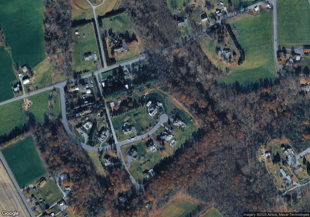
Map
Nearby Homes
- 321 Lewis Rd
- 914 N Lincoln St
- 934 N Lincoln St
- 934 N Lincoln St Unit 8-04
- 918 N Lincoln St Unit 4-02
- Sedona Plan at Melrose
- Ashton Plan at Melrose
- Sloane II Plan at Melrose
- 701 N Grant St
- 564 W Cedar St
- 75 Cortland Crossing
- 81 Cortland Crossing
- 0 N Railroad St
- 360 W Spruce St
- 28 Evergreen Aly
- 13 Evergreen Aly
- 44 Evergreen Aly
- 4 Evergreen Aly
- 30 Willow St
- 22 Willow St
- 139 Whitetail Ln
- 138 Whitetail Ln
- 70 Edison Rd
- 107 Whitetail Ln
- 150 White Tail Ln
- 106 White Tail Ln
- 92 Edison Rd
- 124 White Tail Ln
- 124 Whitetail Ln Unit 11
- 124 Whitetail Ln
- 82 Edison Rd
- 56 Edison Rd
- 106 Whitetail Ln
- 117 Wood Crest Dr
- Lot 12 White Tail Ln
- LOT #11 White Tail Ln
- LOT #12 White Tail Ln
- 81 Whitetail Ln
- 116 Woodcrest Dr