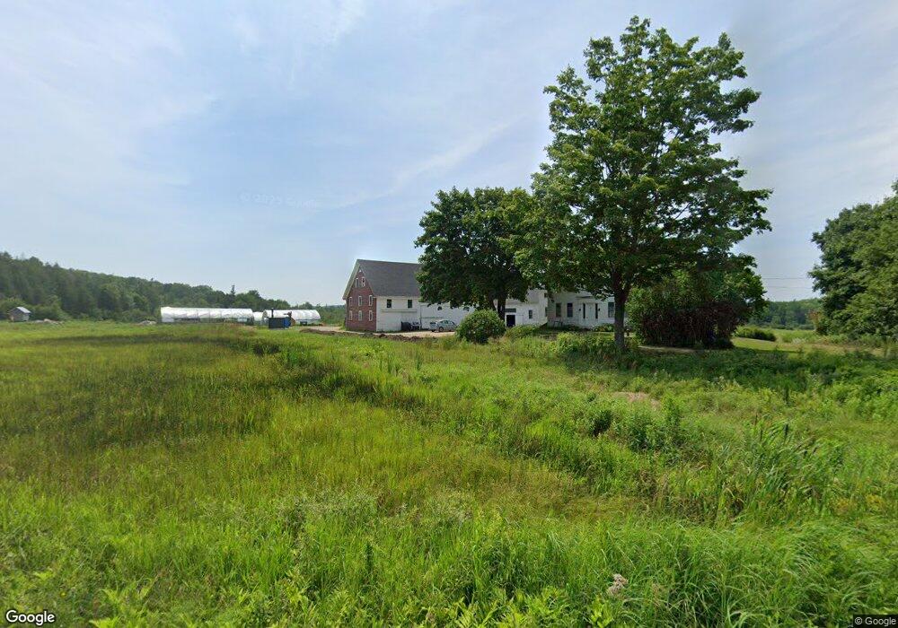
1390 Coastal Rd Brooksville, ME 04617
Estimated Value: $480,000 - $873,000
5
Beds
3
Baths
3,300
Sq Ft
$201/Sq Ft
Est. Value
About This Home
This home is located at 1390 Coastal Rd, Brooksville, ME 04617 and is currently estimated at $664,707, approximately $201 per square foot. 1390 Coastal Rd is a home located in Hancock County with nearby schools including Brooksville Elementary School.
Ownership History
Date
Name
Owned For
Owner Type
Purchase Details
Closed on
Jul 19, 2013
Sold by
Goose Cove Llc
Bought by
Altman John and Simanton Emma
Current Estimated Value
Purchase Details
Closed on
Nov 26, 2007
Sold by
Davids Folly T and Patmos Patricia S
Bought by
Goose Cove Llc
Create a Home Valuation Report for This Property
The Home Valuation Report is an in-depth analysis detailing your home's value as well as a comparison with similar homes in the area
Home Values in the Area
Average Home Value in this Area
Purchase History
| Date | Buyer | Sale Price | Title Company |
|---|---|---|---|
| Altman John | -- | -- | |
| Altman John | -- | -- | |
| Goose Cove Llc | -- | -- | |
| Goose Cove Llc | -- | -- |
Source: Public Records
Tax History Compared to Growth
Tax History
| Year | Tax Paid | Tax Assessment Tax Assessment Total Assessment is a certain percentage of the fair market value that is determined by local assessors to be the total taxable value of land and additions on the property. | Land | Improvement |
|---|---|---|---|---|
| 2024 | $2,735 | $506,500 | $118,100 | $388,400 |
| 2023 | $2,542 | $391,000 | $92,200 | $298,800 |
| 2022 | $2,407 | $353,000 | $84,100 | $268,900 |
| 2021 | $2,366 | $353,100 | $84,200 | $268,900 |
| 2020 | $515 | $353,400 | $84,500 | $268,900 |
| 2019 | $3,138 | $353,400 | $84,500 | $268,900 |
| 2018 | $1,977 | $353,700 | $84,800 | $268,900 |
| 2017 | $1,978 | $353,800 | $84,900 | $268,900 |
| 2016 | $1,976 | $353,500 | $84,600 | $268,900 |
| 2015 | $2,297 | $410,900 | $142,000 | $268,900 |
| 2013 | $2,190 | $456,200 | $157,400 | $298,800 |
Source: Public Records
Map
Nearby Homes
- M15 L23 Varnum Rd
- 118 Wescott Battery
- 37 Water St
- 10 Green St
- 111 Franks Flat Rd
- 26 Tidal Creek Rd
- M17 L15 Perkins St
- M17 L15 Battle Ave
- 79 Perkins St
- 565 Bagaduce Rd
- 2 Camp Stream Point Ln
- 0 Route 175 Unit 1622156
- Map4 Lot26 Graytown Rd
- 435 Parcel 4 Herrick Rd
- 144 Bagaduce Rd
- 0 Kingdom Rd
- 21 Harborside Rd
- Lot #3 Blueberry Ridge Way
- 581 the Shore Rd
- 113 Wardwell Point Rd
- 0 Varnumvill Rd
- 0 Varnumville
- 1395 Coastal Rd
- 365 Coastal Rd
- 1434 Coastal Rd
- 1452 Coastal Rd
- 1315 Coastal Rd
- 1460 Coastal Rd
- 1301 Coastal Rd
- 1492 Coastal Rd
- 1300 Coastal Rd
- 39 Coastal Rd
- 0000 Coastal Rd
- 108 Varnumville Rd
- 47 Poor Farm Rd
- 165 Varnumville Rd
- 1242 Coastal Rd
- 1248 Coastal Rd
- 42 Austin Way