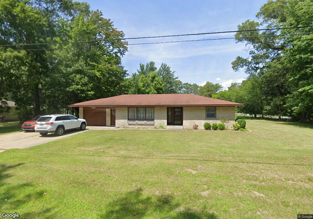
1390 Logan Rd Muskegon, MI 49445
Estimated Value: $229,592 - $262,000
2
Beds
2
Baths
1,300
Sq Ft
$187/Sq Ft
Est. Value
About This Home
This home is located at 1390 Logan Rd, Muskegon, MI 49445 and is currently estimated at $242,648, approximately $186 per square foot. 1390 Logan Rd is a home located in Muskegon County with nearby schools including Reeths-Puffer High School.
Ownership History
Date
Name
Owned For
Owner Type
Purchase Details
Closed on
Apr 28, 2020
Sold by
Stafford Nicki
Bought by
Stafford Nicki and Meseck Jason
Current Estimated Value
Home Financials for this Owner
Home Financials are based on the most recent Mortgage that was taken out on this home.
Original Mortgage
$116,000
Interest Rate
3.6%
Mortgage Type
New Conventional
Purchase Details
Closed on
Jan 16, 2012
Sold by
Stafford Robbie
Bought by
Stafford Nicki
Create a Home Valuation Report for This Property
The Home Valuation Report is an in-depth analysis detailing your home's value as well as a comparison with similar homes in the area
Home Values in the Area
Average Home Value in this Area
Purchase History
| Date | Buyer | Sale Price | Title Company |
|---|---|---|---|
| Stafford Nicki | -- | Lighthouse Title Inc | |
| Stafford Nicki | -- | None Available |
Source: Public Records
Mortgage History
| Date | Status | Borrower | Loan Amount |
|---|---|---|---|
| Closed | Stafford Nicki | $116,000 |
Source: Public Records
Tax History Compared to Growth
Tax History
| Year | Tax Paid | Tax Assessment Tax Assessment Total Assessment is a certain percentage of the fair market value that is determined by local assessors to be the total taxable value of land and additions on the property. | Land | Improvement |
|---|---|---|---|---|
| 2025 | $1,846 | $95,100 | $0 | $0 |
| 2024 | $552 | $87,600 | $0 | $0 |
| 2023 | $528 | $74,200 | $0 | $0 |
| 2022 | $1,686 | $60,200 | $0 | $0 |
| 2021 | $1,641 | $54,200 | $0 | $0 |
| 2020 | $1,626 | $51,900 | $0 | $0 |
| 2019 | $1,602 | $46,900 | $0 | $0 |
| 2018 | $1,572 | $48,300 | $0 | $0 |
| 2017 | $1,565 | $46,800 | $0 | $0 |
| 2016 | $450 | $42,200 | $0 | $0 |
| 2015 | -- | $38,900 | $0 | $0 |
| 2014 | -- | $39,700 | $0 | $0 |
| 2013 | -- | $37,400 | $0 | $0 |
Source: Public Records
Map
Nearby Homes
- 2060 N Roberts Rd
- 2021 Queens Ct
- 0 N Getty St
- 787 E Giles Rd
- 764 E Giles Rd
- 1925 Shady Oak Dr
- 2026 N Port Blvd
- 0 Holton Vl Rd Unit 20027438
- 1960 Nielwood Dr
- 1353 Holton Rd
- V/L Holton Rd
- 2551 Hiawatha Trail
- 129 Maple Ct
- 102 Apple Ct
- V/L Reed Ave
- 2624 Holton Rd
- 1850 Mildred St
- 1699 Sycamore Dr
- 2635 E River Rd
- 2051 Russell Rd
- 1391 Logan Rd
- 1375 Logan Rd
- 0 Logan Rd Unit M13016234
- 0 Logan Rd Unit M19018333
- 0 Logan Rd Unit M20009589
- 0 Logan Rd Unit 71013016234
- 0 Logan Rd Unit 71020009589
- 0 Wildwood Dr
- 0 Logan Rd
- 1629 Creston St
- 1360 Logan Rd
- 1643 Creston St
- 1418 Logan Rd
- 1340 Logan Rd
- 1554 Wildwood Dr
- 1349 Logan Rd
- 1347 Logan Rd
- 1417 Logan Rd
- 1667 Creston St
- 1544 Wildwood Dr