13901 Sunset Ridge Rd Woodstock, IL 60098
Estimated Value: $399,000 - $564,000
3
Beds
3
Baths
1,980
Sq Ft
$228/Sq Ft
Est. Value
About This Home
This home is located at 13901 Sunset Ridge Rd, Woodstock, IL 60098 and is currently estimated at $451,359, approximately $227 per square foot. 13901 Sunset Ridge Rd is a home located in McHenry County with nearby schools including Westwood Elementary School, Creekside Middle School, and Woodstock High School.
Ownership History
Date
Name
Owned For
Owner Type
Purchase Details
Closed on
Jun 4, 2024
Sold by
Clark Eugene M and Clark Shannon C
Bought by
Eugene Clark And Shannon Clark Joint Trust and Clark
Current Estimated Value
Purchase Details
Closed on
Mar 8, 2017
Sold by
Las George P and Las Patricia A
Bought by
Clark Eugene Mn and Clark Shannon C
Home Financials for this Owner
Home Financials are based on the most recent Mortgage that was taken out on this home.
Original Mortgage
$254,700
Interest Rate
4.19%
Mortgage Type
New Conventional
Create a Home Valuation Report for This Property
The Home Valuation Report is an in-depth analysis detailing your home's value as well as a comparison with similar homes in the area
Home Values in the Area
Average Home Value in this Area
Purchase History
| Date | Buyer | Sale Price | Title Company |
|---|---|---|---|
| Eugene Clark And Shannon Clark Joint Trust | -- | None Listed On Document | |
| Clark Eugene Mn | $283,000 | Chicago Title |
Source: Public Records
Mortgage History
| Date | Status | Borrower | Loan Amount |
|---|---|---|---|
| Previous Owner | Clark Eugene Mn | $254,700 |
Source: Public Records
Tax History Compared to Growth
Tax History
| Year | Tax Paid | Tax Assessment Tax Assessment Total Assessment is a certain percentage of the fair market value that is determined by local assessors to be the total taxable value of land and additions on the property. | Land | Improvement |
|---|---|---|---|---|
| 2024 | $9,157 | $127,185 | $25,801 | $101,384 |
| 2023 | $8,853 | $115,016 | $23,332 | $91,684 |
| 2022 | $8,384 | $102,073 | $20,706 | $81,367 |
| 2021 | $8,069 | $95,369 | $19,346 | $76,023 |
| 2020 | $7,844 | $90,621 | $18,383 | $72,238 |
| 2019 | $7,603 | $86,504 | $17,548 | $68,956 |
| 2018 | $7,357 | $83,360 | $20,018 | $63,342 |
| 2017 | $7,239 | $78,456 | $18,840 | $59,616 |
| 2016 | $7,203 | $72,644 | $17,444 | $55,200 |
| 2013 | -- | $73,437 | $24,094 | $49,343 |
Source: Public Records
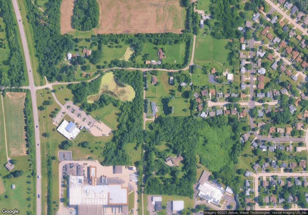
Map
Nearby Homes
- 4224 Meadowridge Rd
- 4265 Meadowridge Rd
- 4240 Meadowridge Rd
- 4104 Meadowridge Rd
- 1301 Longwood Dr E
- 0 Rt 47 & Hercules Rd Hwy Unit MRD12103853
- 920 Pleasant St
- 13808 Washington St
- 233 Arthur Dr
- 824 Washington St
- 0 Rt 47 & Lucas Rd Unit MRD12293021
- 814 Robert Dr
- 740 Victoria Dr
- 514 Washington St
- 431 Washington St
- 14130 Castlebar Trail
- 389 Lincoln Ave
- 320 W Donovan Ave
- 1310 Infanta Ct
- 327 Lincoln Ave
- 13839 Sunset Ridge Rd
- 967 West Ave
- 956 West Ave
- 961 West Ave
- 950 West Ave
- 13906 Sunset Ridge Rd
- 13906 Sunset Ridge Rd
- 906 Hillside Rd
- 955 West Ave
- 944 West Ave
- 4220 Meadowridge Rd
- 4136 Meadowridge Rd
- 502 & 504 W South St
- 00 Us Highway 14
- 12-09-300-007 Collins Rd
- 4215 Il-47 S
- 659 Siver Creek Rd
- LOT 23 Emery Wood Ln
- Lot 86 & 87 South St
- Lot 2 Southview Dr