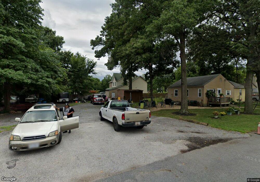
13906 Railroad Ave Laurel, MD 20707
South Laurel NeighborhoodEstimated Value: $565,000 - $648,000
4
Beds
3
Baths
2,338
Sq Ft
$256/Sq Ft
Est. Value
About This Home
This home is located at 13906 Railroad Ave, Laurel, MD 20707 and is currently estimated at $598,292, approximately $255 per square foot. 13906 Railroad Ave is a home located in Prince George's County with nearby schools including James H. Harrison Elementary School, Laurel High School, and Christian Academy of Laurel.
Ownership History
Date
Name
Owned For
Owner Type
Purchase Details
Closed on
Feb 21, 2017
Sold by
Chung Lien Ying
Bought by
Chang Hong
Current Estimated Value
Purchase Details
Closed on
Aug 17, 2011
Sold by
Oakcrest Homes Lllp
Bought by
Chang Hong and Chung Lien Ying
Home Financials for this Owner
Home Financials are based on the most recent Mortgage that was taken out on this home.
Original Mortgage
$240,000
Interest Rate
4.52%
Mortgage Type
New Conventional
Purchase Details
Closed on
May 24, 2002
Sold by
Hayes Shirley L
Bought by
Congedo Peter and James Schneider
Create a Home Valuation Report for This Property
The Home Valuation Report is an in-depth analysis detailing your home's value as well as a comparison with similar homes in the area
Home Values in the Area
Average Home Value in this Area
Purchase History
| Date | Buyer | Sale Price | Title Company |
|---|---|---|---|
| Chang Hong | -- | None Available | |
| Chang Hong | $300,000 | K K Title & Escrow Inc | |
| Congedo Peter | $677 | -- |
Source: Public Records
Mortgage History
| Date | Status | Borrower | Loan Amount |
|---|---|---|---|
| Previous Owner | Chang Hong | $240,000 |
Source: Public Records
Tax History Compared to Growth
Tax History
| Year | Tax Paid | Tax Assessment Tax Assessment Total Assessment is a certain percentage of the fair market value that is determined by local assessors to be the total taxable value of land and additions on the property. | Land | Improvement |
|---|---|---|---|---|
| 2025 | $5,156 | $618,400 | $110,500 | $507,900 |
| 2024 | $5,156 | $541,033 | $0 | $0 |
| 2023 | $5,156 | $463,667 | $0 | $0 |
| 2022 | $5,871 | $386,300 | $100,500 | $285,800 |
| 2021 | $5,700 | $386,300 | $100,500 | $285,800 |
| 2020 | $5,666 | $386,300 | $100,500 | $285,800 |
| 2019 | $5,743 | $415,800 | $75,200 | $340,600 |
| 2018 | $6,225 | $392,133 | $0 | $0 |
| 2017 | $5,353 | $368,467 | $0 | $0 |
| 2016 | -- | $344,800 | $0 | $0 |
| 2015 | $4,309 | $330,233 | $0 | $0 |
| 2014 | $4,309 | $315,667 | $0 | $0 |
Source: Public Records
Map
Nearby Homes
- 0 Railroad Ave
- 0 Chestnut Ridge Dr
- 8700 Kiama Rd
- 8210 Willow St
- 13401 Kiama Ct
- 8203 Willow St
- 14105 William St Unit 15-C
- 14011F Briston St
- 9274 Cherry Ln Unit 82
- 14007 Briston St
- 9254 Cherry Ln Unit 17
- 14106 William St Unit 19B
- 14226 Yardarm Way Unit 107
- 14007B Korba Place Unit 2B
- 14002F Korba Place
- 14114B Lauren Ln
- 13400 Oaklands Manor Dr
- 14119 Bowsprit Ln Unit 312
- 14012C Justin Way Unit 26-C
- 9268 Cherry Ln Unit 62
- 13904 Railroad Ave
- 8707 Lindendale Dr
- 8703 Lindendale Dr
- 8604 Holly St
- 8602 Holly St
- 8600 Holly St
- 8704 Lindendale Dr
- 8706 Lindendale Dr
- 8702 Lindendale Dr
- 8708 Lindendale Dr
- 8700 Lindendale Dr
- 8601 Holly St
- 14016 Williamson Ave
- 14010 Railroad Ave
- 8519 Holly St
- 8616 Lindendale Dr
- 13718 Engleman Dr
- 8600 Spruce Hill Dr
- 8705 Locust Grove Dr
- 8703 Locust Grove Dr
