13908 N Old Wire Rd Garfield, AR 72732
Estimated Value: $159,000 - $266,000
--
Bed
--
Bath
--
Sq Ft
2.03
Acres
About This Home
This home is located at 13908 N Old Wire Rd, Garfield, AR 72732 and is currently estimated at $198,000. 13908 N Old Wire Rd is a home located in Benton County with nearby schools including Pea Ridge Intermediate School, Pea Ridge Primary School, and Pea Ridge Junior High School.
Ownership History
Date
Name
Owned For
Owner Type
Purchase Details
Closed on
Jan 10, 2020
Sold by
Arlands Llc
Bought by
Guevara Luis and Guevara Maria
Current Estimated Value
Purchase Details
Closed on
Dec 10, 2019
Sold by
Arlands Llc
Bought by
Guevara Luis and Guevara Maria
Purchase Details
Closed on
Jun 23, 2015
Sold by
Commissioner Of State Lands
Bought by
Arlands Llc
Purchase Details
Closed on
Aug 15, 2005
Sold by
Benton Of Commissioner
Bought by
Cangelosi Larry
Purchase Details
Closed on
Aug 5, 1996
Bought by
Evans
Purchase Details
Closed on
Sep 26, 1990
Bought by
Hoepfner 2 Ac
Create a Home Valuation Report for This Property
The Home Valuation Report is an in-depth analysis detailing your home's value as well as a comparison with similar homes in the area
Home Values in the Area
Average Home Value in this Area
Purchase History
| Date | Buyer | Sale Price | Title Company |
|---|---|---|---|
| Guevara Luis | $10,000 | None Listed On Document | |
| Guevara Luis | $10,000 | None Listed On Document | |
| Arlands Llc | $2,000 | None Available | |
| Cangelosi Larry | $3,600 | None Available | |
| Evans | -- | -- | |
| Hoepfner 2 Ac | $1,000 | -- |
Source: Public Records
Tax History Compared to Growth
Tax History
| Year | Tax Paid | Tax Assessment Tax Assessment Total Assessment is a certain percentage of the fair market value that is determined by local assessors to be the total taxable value of land and additions on the property. | Land | Improvement |
|---|---|---|---|---|
| 2025 | $329 | $7,200 | $7,200 | -- |
| 2024 | $302 | $7,308 | $7,308 | $0 |
| 2023 | $274 | $5,280 | $5,280 | $0 |
| 2022 | $287 | $5,280 | $5,280 | $0 |
| 2021 | $286 | $5,280 | $5,280 | $0 |
| 2020 | $170 | $3,040 | $3,040 | $0 |
| 2019 | $170 | $3,040 | $3,040 | $0 |
| 2018 | $170 | $3,040 | $3,040 | $0 |
| 2017 | $158 | $3,040 | $3,040 | $0 |
| 2016 | $158 | $3,040 | $3,040 | $0 |
| 2015 | $95 | $1,830 | $1,830 | $0 |
| 2014 | $95 | $1,830 | $1,830 | $0 |
Source: Public Records
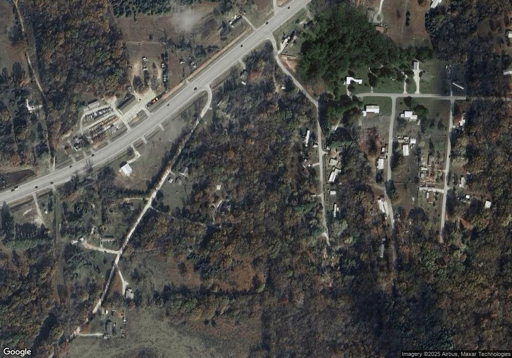
Map
Nearby Homes
- 15047 U S 62
- 13610 Degraff Rd
- 15992 Boundary Line Rd
- 4.7 acres(Lot 1) of Boundary Line Rd
- 3 Acres (Lot 3) 1610 Boundary Line Rd
- 5 acres (Lot 5) 1610 Boundary Line Rd
- Tract 3 Sugar Creek Rd
- 15072 White Fawn Dr
- 15049 White Fawn Dr
- 12526 Avoca Hollow Dr
- 15112 Mills Terrace
- 13482 Sugar Creek Rd
- 12092 Guyll Ridge Rd
- 13585 Andy Jack Rd
- 13672 Highway 72
- 13302 Byler Rd
- 469 Sheppard Rd
- 969 Rader Rd
- TBD Rader Rd
- 0 Rader Rd Unit 1290308
- 13944 N Old Wire Rd
- 13899 S Ridge Rd
- 13867 S Ridge Rd
- 13962 N Old Wire Rd
- 13918 S Ridge Rd
- 15239 Battlefield Rd
- 13843 S Ridge Rd
- 15047 Highway 62
- 15057 U S Highway 62
- 13970 N Old Wire Rd
- 15047 Highway 62
- 15147 Highway 62
- 15147 Highway 62
- 15246 Battlefield Rd
- 15067 Highway 62
- 15067 Highway 62
- 13917 South Rd
- 13844 S Ridge Rd
- 13969 South Rd
- 15057 U S 62