13908 SW Airstrip Ln Unit 19 Culver, OR 97734
Estimated Value: $526,564 - $639,000
4
Beds
3
Baths
2,428
Sq Ft
$237/Sq Ft
Est. Value
About This Home
This home is located at 13908 SW Airstrip Ln Unit 19, Culver, OR 97734 and is currently estimated at $576,141, approximately $237 per square foot. 13908 SW Airstrip Ln Unit 19 is a home located in Jefferson County with nearby schools including Culver Elementary School, Culver Middle School, and Culver High School.
Ownership History
Date
Name
Owned For
Owner Type
Purchase Details
Closed on
Dec 14, 2021
Sold by
Bisono David
Bought by
Burroughs Patrick Ryan
Current Estimated Value
Home Financials for this Owner
Home Financials are based on the most recent Mortgage that was taken out on this home.
Original Mortgage
$451,250
Outstanding Balance
$413,206
Interest Rate
3.09%
Mortgage Type
New Conventional
Estimated Equity
$162,935
Purchase Details
Closed on
Aug 25, 2017
Sold by
Renner Dennis L and Renner Kristen L
Bought by
Bisono David
Home Financials for this Owner
Home Financials are based on the most recent Mortgage that was taken out on this home.
Original Mortgage
$326,062
Interest Rate
4.03%
Mortgage Type
VA
Create a Home Valuation Report for This Property
The Home Valuation Report is an in-depth analysis detailing your home's value as well as a comparison with similar homes in the area
Home Values in the Area
Average Home Value in this Area
Purchase History
| Date | Buyer | Sale Price | Title Company |
|---|---|---|---|
| Burroughs Patrick Ryan | $475,000 | Amerititle | |
| Burroughs Patrick Ryan | $475,000 | Amerititle | |
| Bisono David | $319,200 | Amerititle |
Source: Public Records
Mortgage History
| Date | Status | Borrower | Loan Amount |
|---|---|---|---|
| Open | Burroughs Patrick Ryan | $451,250 | |
| Closed | Burroughs Patrick Ryan | $451,250 | |
| Previous Owner | Bisono David | $326,062 |
Source: Public Records
Tax History Compared to Growth
Tax History
| Year | Tax Paid | Tax Assessment Tax Assessment Total Assessment is a certain percentage of the fair market value that is determined by local assessors to be the total taxable value of land and additions on the property. | Land | Improvement |
|---|---|---|---|---|
| 2025 | $3,148 | $181,950 | -- | -- |
| 2024 | $2,759 | $176,660 | -- | -- |
| 2023 | $2,655 | $171,520 | $0 | $0 |
| 2022 | $2,587 | $166,530 | $0 | $0 |
| 2021 | $2,513 | $161,680 | $0 | $0 |
| 2020 | $2,414 | $156,980 | $0 | $0 |
| 2019 | $2,335 | $152,410 | $0 | $0 |
| 2018 | $2,260 | $147,980 | $0 | $0 |
| 2017 | $1,998 | $128,860 | $0 | $0 |
| 2016 | $2,007 | $125,110 | $0 | $0 |
| 2015 | $1,841 | $121,470 | $0 | $0 |
| 2014 | $1,841 | $117,940 | $0 | $0 |
| 2013 | -- | $114,510 | $0 | $0 |
Source: Public Records
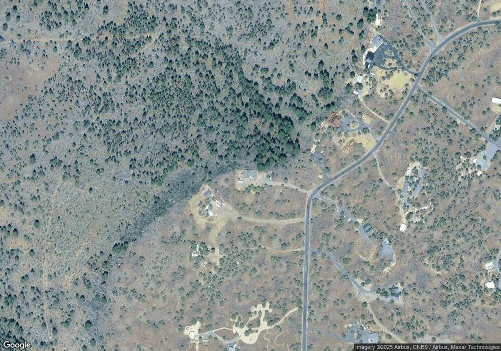
Map
Nearby Homes
- 13422 SW Airfield Ln
- 12705 SW Airfield Ln
- 5191 SW Wildcat Ln
- 5930 SW Upper Canyon Rim Dr
- 12970 SW Inlet Rd Unit Lot 11, Slip 2
- 10500 SW Graham Rd
- 9 SW Lakeview Dr Unit 900
- 7 SW Lakeview Dr Unit 700
- 6 SW Lakeview Dr Unit 600
- 5 SW Lakeview Dr Unit 500
- 8 SW Lakeview Dr Unit 800
- 4 SW Lakeview Dr Unit 400
- 11855 SW Meadows Ln
- 11785 SW Meadows Ln
- 11195 SW Yucca Flats Ln
- 11603 SW Yucca Flats Ln
- 5215 SW Upper Canyon Rim Dr
- 11175 SW Pixie Ln
- 5300 SW Brandy Ln
- 10498 SW Graham Rd Unit 4831
- 13908 SW Airstrip Ln
- 5586 SW Airstrip Ln
- 13872 SW Airstrip Ln
- 13838 SW Airstrip Ln
- 13930 SW Airstrip Ln
- 13824 SW Airstrip Ln
- 5501 SW Airstrip Ln
- 13845 SW Airstrip Ln
- 5547 SW Airstrip Ln
- 13802 SW Airstrip Ln
- 13915 SW Airstrip Ln
- 13641 SW Winchester Ln
- 13770 SW Airstrip Ln
- 13580 SW Winchester Ln
- 5250 SW Wee
- 13950 SW Airstrip Ln
- 13750 SW Airstrip Ln
- 13603 SW Airstrip Ln
- 13786 SW Airfield Ln