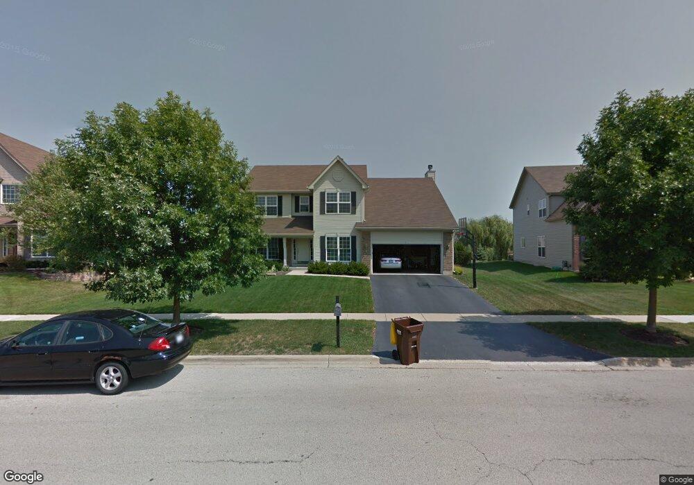
1391 Amberwood Dr Crystal Lake, IL 60014
Estimated Value: $446,881 - $496,000
--
Bed
--
Bath
2,734
Sq Ft
$175/Sq Ft
Est. Value
About This Home
This home is located at 1391 Amberwood Dr, Crystal Lake, IL 60014 and is currently estimated at $477,970, approximately $174 per square foot. 1391 Amberwood Dr is a home located in McHenry County with nearby schools including Woods Creek Elementary School, Lundahl Middle School, and Crystal Lake South High School.
Ownership History
Date
Name
Owned For
Owner Type
Purchase Details
Closed on
May 19, 2004
Sold by
Home State Bank Na
Bought by
Hall Ken T and Hall Linda T
Current Estimated Value
Home Financials for this Owner
Home Financials are based on the most recent Mortgage that was taken out on this home.
Original Mortgage
$253,740
Outstanding Balance
$112,662
Interest Rate
4.75%
Mortgage Type
Purchase Money Mortgage
Estimated Equity
$365,308
Create a Home Valuation Report for This Property
The Home Valuation Report is an in-depth analysis detailing your home's value as well as a comparison with similar homes in the area
Home Values in the Area
Average Home Value in this Area
Purchase History
| Date | Buyer | Sale Price | Title Company |
|---|---|---|---|
| Hall Ken T | $318,490 | Chicago Title |
Source: Public Records
Mortgage History
| Date | Status | Borrower | Loan Amount |
|---|---|---|---|
| Open | Hall Ken T | $253,740 | |
| Closed | Hall Ken T | $25,000 |
Source: Public Records
Tax History Compared to Growth
Tax History
| Year | Tax Paid | Tax Assessment Tax Assessment Total Assessment is a certain percentage of the fair market value that is determined by local assessors to be the total taxable value of land and additions on the property. | Land | Improvement |
|---|---|---|---|---|
| 2024 | $10,869 | $137,637 | $9,783 | $127,854 |
| 2023 | $10,543 | $123,641 | $8,788 | $114,853 |
| 2022 | $9,998 | $112,585 | $8,002 | $104,583 |
| 2021 | $9,571 | $106,032 | $7,536 | $98,496 |
| 2020 | $9,419 | $103,204 | $7,335 | $95,869 |
| 2019 | $9,306 | $100,569 | $7,148 | $93,421 |
| 2018 | $9,731 | $102,466 | $8,044 | $94,422 |
| 2017 | $9,690 | $96,566 | $7,581 | $88,985 |
| 2016 | $9,586 | $91,811 | $7,208 | $84,603 |
| 2013 | -- | $94,234 | $15,310 | $78,924 |
Source: Public Records
Map
Nearby Homes
- 1201 Boxwood Dr
- 1420 Trailwood Dr
- 1000 Sandalwood Ln
- 796 Waterford Cut
- 1582 Dogwood Dr Unit 4
- 8760 Belfield Rd
- 9012 Swanson Rd
- 1542 Candlewood Dr
- 1484 Rolling Hills Dr
- 1021 Abbey Dr
- 1677 Driftwood Ln
- 1644 Brigham Ln
- 1549 Hollytree Ln Unit 2
- 1657 Flagstone Dr
- 1644 Stockton Ln
- 969 Camelot Place
- 1391 Acadia Cir
- 1421 Acadia Cir
- 1451 Acadia Cir
- 1441 Acadia Cir
- 1395 Amberwood Dr
- 1387 Amberwood Dr
- 1383 Amberwood Dr Unit 17
- 1235 Fieldstone Dr
- 1392 Amberwood Dr
- 1388 Amberwood Dr
- 1231 Fieldstone Dr
- 1384 Amberwood Dr
- 1227 Fieldstone Dr
- 1380 Amberwood Dr Unit 17
- 1375 Amberwood Dr
- 1272 Sandalwood Ln
- 1376 Amberwood Dr Unit 19
- 1223 Fieldstone Dr
- 1371 Amberwood Dr Unit 19
- 1269 Sandalwood Ln Unit 17
- 1264 Sandalwood Ln
- 1372 Amberwood Dr
- 1367 Amberwood Dr Unit 19
- 8105 Ackman Rd