1391 Burnside Ct Long Grove, IL 60047
Estimated Value: $1,274,273 - $1,419,000
Studio
6
Baths
5,218
Sq Ft
$254/Sq Ft
Est. Value
About This Home
This home is located at 1391 Burnside Ct, Long Grove, IL 60047 and is currently estimated at $1,323,318, approximately $253 per square foot. 1391 Burnside Ct is a home located in Lake County with nearby schools including Kildeer Countryside Elementary School, Woodlawn Middle School, and Adlai E Stevenson High School.
Ownership History
Date
Name
Owned For
Owner Type
Purchase Details
Closed on
Nov 16, 2018
Sold by
Waters Phillip E and Waters Lori L
Bought by
The Chicago Trust Company Na and Trust Number Sbl4726
Current Estimated Value
Purchase Details
Closed on
Feb 14, 2003
Sold by
Waters Lori L and Waters Phillip E
Bought by
Waters Lori L
Home Financials for this Owner
Home Financials are based on the most recent Mortgage that was taken out on this home.
Original Mortgage
$761,000
Interest Rate
5.62%
Mortgage Type
Negative Amortization
Purchase Details
Closed on
Oct 26, 1999
Sold by
Richmond Homes Inc
Bought by
Waters Lori L
Home Financials for this Owner
Home Financials are based on the most recent Mortgage that was taken out on this home.
Original Mortgage
$780,000
Interest Rate
6.12%
Purchase Details
Closed on
Dec 18, 1998
Sold by
Dyer Christopher J and Dyer Christina M
Bought by
Richmond Homes Inc
Home Financials for this Owner
Home Financials are based on the most recent Mortgage that was taken out on this home.
Original Mortgage
$152,000
Interest Rate
7.75%
Purchase Details
Closed on
May 6, 1998
Sold by
Bank Of Waukegan
Bought by
Dyer Christopher J and Dyer Christina M
Purchase Details
Closed on
Dec 17, 1997
Sold by
Kroll Beverley J
Bought by
Bank Of Waukegan and Trust #3250
Purchase Details
Closed on
Aug 26, 1993
Sold by
Kroll Jeffrey J and Kroll Robin B
Bought by
Kroll Beverley J
Home Financials for this Owner
Home Financials are based on the most recent Mortgage that was taken out on this home.
Original Mortgage
$200,000
Interest Rate
6.95%
Create a Home Valuation Report for This Property
The Home Valuation Report is an in-depth analysis detailing your home's value as well as a comparison with similar homes in the area
Home Values in the Area
Average Home Value in this Area
Purchase History
We collect this data history from publicly available records. To have your information removed, we recommend requesting removal directly through your county’s website.
| Date | Buyer | Sale Price | Title Company |
|---|---|---|---|
| The Chicago Trust Company Na | -- | None Available | |
| Waters Lori L | -- | Fatic | |
| Waters Lori L | $929,500 | Chicago Title Insurance Co | |
| Richmond Homes Inc | $190,000 | Standard Title | |
| Dyer Christopher J | $180,000 | Chicago Title Insurance Co | |
| Bank Of Waukegan | $180,000 | Chicago Title Insurance Co | |
| Kroll Beverley J | $133,333 | Chicago Title Insurance Co |
Source: Public Records
Mortgage History
We collect this data history from publicly available records. To have your information removed, we recommend requesting removal directly through your county’s website.
| Date | Status | Borrower | Loan Amount |
|---|---|---|---|
| Previous Owner | Waters Lori L | $761,000 | |
| Previous Owner | Waters Lori L | $780,000 | |
| Previous Owner | Richmond Homes Inc | $152,000 | |
| Previous Owner | Kroll Beverley J | $200,000 | |
| Closed | Waters Lori L | $150,000 |
Source: Public Records
Tax History
| Year | Tax Paid | Tax Assessment Tax Assessment Total Assessment is a certain percentage of the fair market value that is determined by local assessors to be the total taxable value of land and additions on the property. | Land | Improvement |
|---|---|---|---|---|
| 2025 | $30,943 | $364,875 | $60,372 | $304,503 |
| 2024 | $32,187 | $354,508 | $56,912 | $297,596 |
| 2023 | $27,020 | $334,505 | $53,701 | $280,804 |
| 2022 | $27,020 | $284,791 | $45,720 | $239,071 |
| 2021 | $26,120 | $281,720 | $45,227 | $236,493 |
| 2020 | $25,529 | $282,681 | $45,381 | $237,300 |
| 2019 | $24,856 | $281,639 | $45,214 | $236,425 |
| 2018 | $24,640 | $319,984 | $49,147 | $270,837 |
| 2017 | $27,012 | $312,515 | $48,000 | $264,515 |
| 2016 | $27,051 | $312,516 | $45,964 | $266,552 |
| 2015 | $26,508 | $292,262 | $42,985 | $249,277 |
| 2014 | $23,747 | $258,922 | $46,164 | $212,758 |
| 2012 | $23,590 | $265,688 | $46,257 | $219,431 |
Source: Public Records
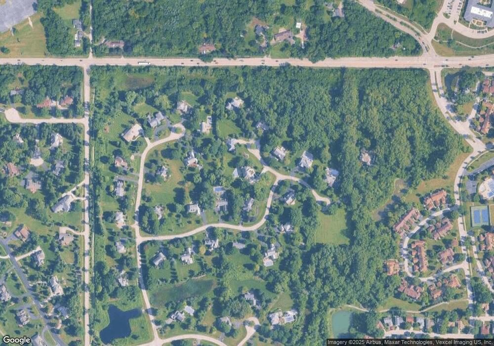
Map
Nearby Homes
- 1362 Gettysburg Rd
- 917 Shambliss Ln
- 1144 Steeple View Dr
- 1005 Cooper Ct
- 1336 Fairfax Ln Unit B62
- 1147 Steeple View Dr
- 1240 Antietam Dr
- 1145 Bristol Ln
- 879 Saybrook Ln
- 1058 Providence Ln
- 5107 N Arlington Heights Rd
- 4143 3 Lakes Ct
- 879 Burgess Cir Unit 8801
- 1602 Brittany Ln
- 1120 Thompson Blvd
- 5152 Bridlewood Ln
- 1275 Ranchview Ct
- 958 Chaucer Way
- 3270 Middlesax Dr
- 521 Castlewood Ln
- 1389 Gettysburg Rd
- 1393 Burnside Ct
- 1387 Gettysburg Rd
- 1399 Burnside Ct
- 1397 Burnside Ct
- 1394 Gettysburg Rd
- 1368 Bridgewater Ln
- 1396 Burnside Ct
- 1370 Bridgewater Ln
- 1365 Gettysburg Rd
- 1392 Gettysburg Rd
- 1395 Burnside Ct
- 1388 Gettysburg Rd
- 1398 Burnside Ct
- 1390 Gettysburg Rd
- 1364 Gettysburg Rd
- 1366 Bridgewater Ln
- 1372 Bridgewater Ln
- 1363 Bridgewater Ln
- 1374 Bridgewater Ln
Your Personal Tour Guide
Ask me questions while you tour the home.