Estimated Value: $162,000 - $173,611
3
Beds
1
Bath
1,152
Sq Ft
$144/Sq Ft
Est. Value
About This Home
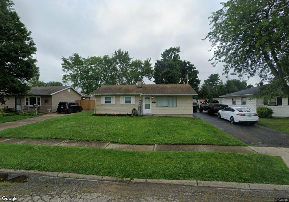
This home is located at 1391 Reid Ave, Xenia, OH 45385 and is currently estimated at $166,153, approximately $144 per square foot. 1391 Reid Ave is a home located in Greene County with nearby schools including Xenia High School, Summit Academy Community School for Alternative Learners - Xenia, and Legacy Christian Academy.
Ownership History
Date
Name
Owned For
Owner Type
Purchase Details
Closed on
Mar 22, 2017
Bought by
Bunn Janet F Trustee
Current Estimated Value
Home Financials for this Owner
Home Financials are based on the most recent Mortgage that was taken out on this home.
Original Mortgage
$75,111
Outstanding Balance
$62,286
Interest Rate
4.17%
Mortgage Type
Purchase Money Mortgage
Estimated Equity
$103,867
Purchase Details
Closed on
Mar 10, 2017
Sold by
Bunn Janet F
Bought by
Ppool Jordan M
Home Financials for this Owner
Home Financials are based on the most recent Mortgage that was taken out on this home.
Original Mortgage
$75,111
Outstanding Balance
$62,286
Interest Rate
4.17%
Mortgage Type
Purchase Money Mortgage
Estimated Equity
$103,867
Create a Home Valuation Report for This Property
The Home Valuation Report is an in-depth analysis detailing your home's value as well as a comparison with similar homes in the area
Home Values in the Area
Average Home Value in this Area
Purchase History
| Date | Buyer | Sale Price | Title Company |
|---|---|---|---|
| Bunn Janet F Trustee | -- | -- | |
| Ppool Jordan M | $76,500 | None Available |
Source: Public Records
Mortgage History
| Date | Status | Borrower | Loan Amount |
|---|---|---|---|
| Open | Ppool Jordan M | $75,111 |
Source: Public Records
Tax History Compared to Growth
Tax History
| Year | Tax Paid | Tax Assessment Tax Assessment Total Assessment is a certain percentage of the fair market value that is determined by local assessors to be the total taxable value of land and additions on the property. | Land | Improvement |
|---|---|---|---|---|
| 2024 | $1,758 | $41,090 | $9,950 | $31,140 |
| 2023 | $1,758 | $41,090 | $9,950 | $31,140 |
| 2022 | $1,466 | $29,220 | $7,110 | $22,110 |
| 2021 | $1,486 | $29,220 | $7,110 | $22,110 |
| 2020 | $1,423 | $29,220 | $7,110 | $22,110 |
| 2019 | $1,105 | $21,360 | $4,750 | $16,610 |
| 2018 | $1,110 | $21,360 | $4,750 | $16,610 |
| 2017 | $572 | $21,360 | $4,750 | $16,610 |
| 2016 | $573 | $19,850 | $4,750 | $15,100 |
| 2015 | $287 | $19,850 | $4,750 | $15,100 |
| 2014 | $549 | $19,850 | $4,750 | $15,100 |
Source: Public Records
Map
Nearby Homes
- 1391 June Dr
- 1283 June Dr
- 1233 June Dr
- 1223 June Dr
- 1342 Kylemore Dr
- 1351 Omard Dr
- 343 Sheelin Rd
- 1144 Rockwell Dr
- 912 Omard Dr
- 883 Omard Dr
- 121 S Progress Dr
- 509 Antrim Rd
- 1568 Cheyenne Dr
- 305-325 Bellbrook Ave
- 1208 Bellbrook Ave
- 1618 Navajo Dr
- 1272 Bellbrook Ave
- 453 Walnut St
- 1653 Seneca Dr
- 613 N West St