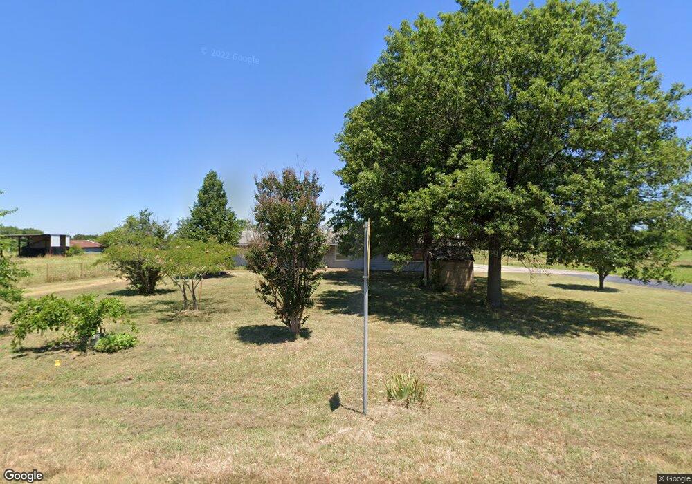
13911 E 122nd St N Collinsville, OK 74021
Estimated Value: $170,000 - $182,141
--
Bed
1
Bath
1,200
Sq Ft
$145/Sq Ft
Est. Value
About This Home
5 CAR GARAGE ON 2 1/2 ACRES!!! Easy access to Highway 169 and Highway 20. 3 bedroom 2 bath house. Must have good credit. References are required. No Smoking, No Pets
Ownership History
Date
Name
Owned For
Owner Type
Purchase Details
Closed on
Apr 23, 2021
Sold by
Moats Roger D and Moats Latasha S
Bought by
Green Century Land Company Llc
Current Estimated Value
Purchase Details
Closed on
Aug 14, 2014
Sold by
Moats Dayton and Moats Grace M
Bought by
Moats Grace M and Moats Roger D
Create a Home Valuation Report for This Property
The Home Valuation Report is an in-depth analysis detailing your home's value as well as a comparison with similar homes in the area
Home Values in the Area
Average Home Value in this Area
Purchase History
| Date | Buyer | Sale Price | Title Company |
|---|---|---|---|
| Green Century Land Company Llc | $120,000 | Investors Title & Escrow Co | |
| Moats Grace M | -- | None Available |
Source: Public Records
Property History
| Date | Event | Price | List to Sale | Price per Sq Ft |
|---|---|---|---|---|
| 02/08/2025 02/08/25 | Off Market | -- | -- | -- |
| 01/20/2025 01/20/25 | For Rent | -- | -- | -- |
| 01/20/2025 01/20/25 | For Rent | $1,595 | -- | -- |
Tax History Compared to Growth
Tax History
| Year | Tax Paid | Tax Assessment Tax Assessment Total Assessment is a certain percentage of the fair market value that is determined by local assessors to be the total taxable value of land and additions on the property. | Land | Improvement |
|---|---|---|---|---|
| 2024 | $2,394 | $11,000 | $4,334 | $6,666 |
| 2023 | $1,197 | $11,000 | $4,334 | $6,666 |
| 2022 | $110 | $11,000 | $4,334 | $6,666 |
| 2021 | $73 | $6,315 | $2,552 | $3,763 |
| 2020 | $710 | $6,315 | $2,552 | $3,763 |
| 2019 | $706 | $6,315 | $2,552 | $3,763 |
| 2018 | $684 | $6,315 | $2,552 | $3,763 |
| 2017 | $760 | $7,315 | $2,956 | $4,359 |
| 2016 | $761 | $7,315 | $2,956 | $4,359 |
| 2015 | $765 | $10,725 | $4,334 | $6,391 |
| 2014 | $771 | $10,725 | $4,334 | $6,391 |
Source: Public Records
Map
Nearby Homes
- 13812 E 122nd St N
- 13802 E 122nd St N
- 13520 E 122nd St N
- 13509 E 122nd St N
- 13510 E 122nd St N
- 12212 N 135th East Ave
- 13420 E 122nd St N
- 13316 E 122nd St N
- 13402 E 124th St N
- 13402 E 124th St N
- 13901 E 126th St N
- 14208 E 126th St N
- 12501 N 134th E Ave
- 12501 N 134th East Ave
- 001 N 143rd East Ave
- The Tahoe Plan at Morrow Place - III
- The Tacoma Plan at Morrow Place - III
- The Grant Plan at Morrow Place - III
- The Vermont Plan at Morrow Place - III
- The Shenandoah Plan at Morrow Place - III
- 13707 E 122nd St N
- 14024 E 122nd St N
- 14111 E 122nd St N
- 14056 E 122nd St N
- 14119 E 122nd St S
- 14119 E 122nd St N
- 14114 E 122nd St N
- 12333 N 135th East Ave
- 12333 N 135th East Ave
- 14123 E 122nd St N
- 13510 E 122nd St N
- 0 N 135th Ave E
- 14124 E 122nd St N
- 14252 E 122nd St N
- 14321 E 122nd St N
- 13420 E 122nd St N
- 12403 N 135th East Ave
- 12403 N 135th East Ave
- 12034 N 145th East Ave
- 12429 N 135th East Ave