Estimated Value: $234,000 - $345,000
3
Beds
3
Baths
2,771
Sq Ft
$101/Sq Ft
Est. Value
About This Home
This home is located at 13911 N 3983 Dr, Dewey, OK 74029 and is currently estimated at $278,770, approximately $100 per square foot. 13911 N 3983 Dr is a home located in Washington County with nearby schools including Dewey Elementary School, Dewey Middle School, and Dewey High School.
Ownership History
Date
Name
Owned For
Owner Type
Purchase Details
Closed on
Mar 29, 2021
Sold by
Rowland Dale W and Rowland Vicki
Bought by
Rowland Dale W and Rowland Vicki L
Current Estimated Value
Purchase Details
Closed on
Jan 20, 2004
Sold by
Rowland Dale W and Rowland Vicki
Bought by
Rowland Dale W and Rowland Vicki
Purchase Details
Closed on
May 5, 2002
Sold by
Murray Clarence R and Murray Comella M
Purchase Details
Closed on
Oct 13, 2000
Sold by
Fielder Wade L and Fielder Debra I
Purchase Details
Closed on
Mar 29, 1996
Sold by
Thomas Donald W and Thomas Linda J
Create a Home Valuation Report for This Property
The Home Valuation Report is an in-depth analysis detailing your home's value as well as a comparison with similar homes in the area
Home Values in the Area
Average Home Value in this Area
Purchase History
| Date | Buyer | Sale Price | Title Company |
|---|---|---|---|
| Rowland Dale W | -- | None Available | |
| Rowland Dale W | -- | -- | |
| -- | -- | -- | |
| -- | $127,500 | -- | |
| -- | $111,500 | -- |
Source: Public Records
Tax History Compared to Growth
Tax History
| Year | Tax Paid | Tax Assessment Tax Assessment Total Assessment is a certain percentage of the fair market value that is determined by local assessors to be the total taxable value of land and additions on the property. | Land | Improvement |
|---|---|---|---|---|
| 2024 | $2,538 | $27,626 | $1,360 | $26,266 |
| 2023 | $2,538 | $27,458 | $1,360 | $26,098 |
| 2022 | $2,392 | $27,458 | $1,360 | $26,098 |
| 2021 | $2,359 | $25,882 | $1,360 | $24,522 |
| 2020 | $2,389 | $25,706 | $1,360 | $24,346 |
| 2019 | $2,290 | $24,958 | $1,360 | $23,598 |
| 2018 | $2,116 | $24,231 | $1,360 | $22,871 |
| 2017 | $2,105 | $23,525 | $1,360 | $22,165 |
| 2016 | $2,088 | $22,840 | $1,360 | $21,480 |
| 2015 | $2,085 | $22,840 | $1,360 | $21,480 |
| 2014 | $2,134 | $22,840 | $1,360 | $21,480 |
Source: Public Records
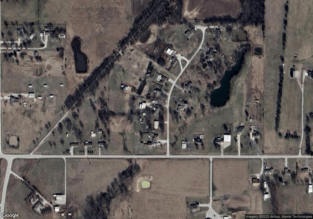
Map
Nearby Homes
- 13699 N 3980 Rd
- 13545 N 3980 Rd
- 800 E Don Tyler Ave
- 396950 W 1300 Rd
- 318 E 11th St
- 700 Sage Ave
- 416 E 7th St
- 0000 W 1300 Rd
- 202 E 6th St
- 940 N Ross Ave
- 39733 W 1510
- 0 N Hwy 75 Unit 2518441
- 609 N Cherokee Ave
- 15871 N 3982 Dr
- 813 N Pawnee Ave
- 404 W 7th St
- 416 W 7th St
- 412 W 7th St
- 408 W 7th St
- 414 W 7th St
- 13941 N 3983 Dr
- 13891 N 3983 Dr
- 13900 N 3983 Dr
- 13971 N 3983 Dr
- 13861 N 3983 Dr
- 13870 N 3983 Dr
- 13831 N 3983 Dr
- 398370 W 1400 Rd
- 398200 W 1400 Rd
- 398430 W 1400 Rd
- 398170 W 1400 Rd
- 13800 N 3983 Dr
- 13761 N 3983 Dr
- 398460 W 1400 Rd
- 398150 W 1400 Rd
- 13760 N 3983 Dr
- 398490 W 1400 Rd
- 398415 W 1400 Rd
- 398511 W 1400 Rd
- 13800 N 3980 Rd