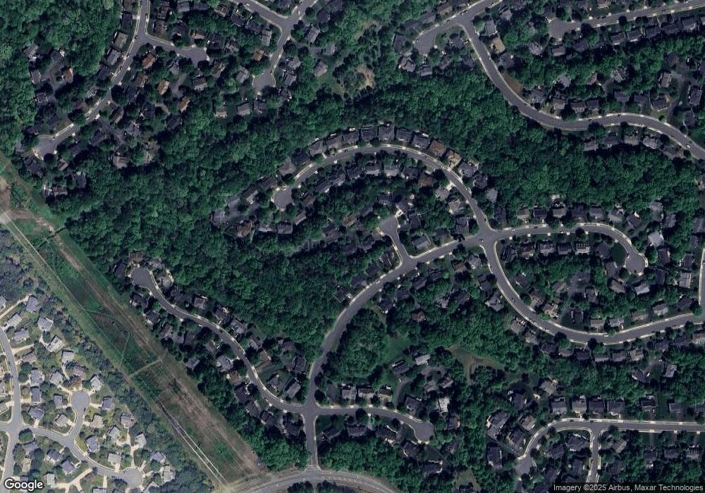
13911 Rock Still Ct Clifton, VA 20124
Estimated Value: $975,353 - $1,110,000
5
Beds
4
Baths
3,072
Sq Ft
$342/Sq Ft
Est. Value
About This Home
This home is located at 13911 Rock Still Ct, Clifton, VA 20124 and is currently estimated at $1,049,338, approximately $341 per square foot. 13911 Rock Still Ct is a home located in Fairfax County with nearby schools including Union Mill Elementary School, Liberty Middle School, and Centreville High School.
Ownership History
Date
Name
Owned For
Owner Type
Purchase Details
Closed on
Mar 7, 2024
Sold by
Russell White Robert and Pivik Tracey
Bought by
White Family Joint Declaration Of Trust and White
Current Estimated Value
Purchase Details
Closed on
Sep 2, 2003
Sold by
Kenney Lawrence
Bought by
White Robert
Home Financials for this Owner
Home Financials are based on the most recent Mortgage that was taken out on this home.
Original Mortgage
$400,000
Interest Rate
5.69%
Mortgage Type
New Conventional
Purchase Details
Closed on
Jan 25, 1994
Sold by
Laurel Rock Lc
Bought by
Kenney L F
Home Financials for this Owner
Home Financials are based on the most recent Mortgage that was taken out on this home.
Original Mortgage
$155,000
Interest Rate
7.08%
Create a Home Valuation Report for This Property
The Home Valuation Report is an in-depth analysis detailing your home's value as well as a comparison with similar homes in the area
Home Values in the Area
Average Home Value in this Area
Purchase History
| Date | Buyer | Sale Price | Title Company |
|---|---|---|---|
| White Family Joint Declaration Of Trust | -- | None Listed On Document | |
| White Robert | $550,000 | -- | |
| Kenney L F | $304,067 | -- |
Source: Public Records
Mortgage History
| Date | Status | Borrower | Loan Amount |
|---|---|---|---|
| Previous Owner | Kenney L F | $400,000 | |
| Previous Owner | Kenney L F | $155,000 |
Source: Public Records
Tax History Compared to Growth
Tax History
| Year | Tax Paid | Tax Assessment Tax Assessment Total Assessment is a certain percentage of the fair market value that is determined by local assessors to be the total taxable value of land and additions on the property. | Land | Improvement |
|---|---|---|---|---|
| 2025 | $9,821 | $907,400 | $301,000 | $606,400 |
| 2024 | $9,821 | $847,750 | $281,000 | $566,750 |
| 2023 | $9,635 | $853,780 | $281,000 | $572,780 |
| 2022 | $8,748 | $765,020 | $251,000 | $514,020 |
| 2021 | $7,900 | $673,240 | $221,000 | $452,240 |
| 2020 | $7,713 | $651,750 | $211,000 | $440,750 |
| 2019 | $7,442 | $628,790 | $211,000 | $417,790 |
| 2018 | $7,197 | $625,790 | $208,000 | $417,790 |
| 2017 | $7,124 | $613,600 | $204,000 | $409,600 |
| 2016 | $6,969 | $601,570 | $200,000 | $401,570 |
| 2015 | $6,919 | $619,990 | $206,000 | $413,990 |
| 2014 | $6,593 | $592,110 | $196,000 | $396,110 |
Source: Public Records
Map
Nearby Homes
- 13813 Foggy Hills Ct
- 6401 Noble Rock Ct
- 14216 Hartwood Ct
- 14159 Autumn Cir
- 6605 English Saddle Ct
- 14102 Autumn Cir
- 6204 Mountain Spring Ct
- 6488 Palisades Dr
- 6218 Stonehunt Place
- 6789 Stone Maple Terrace
- 6316 Mary Todd Ln
- 14135 Honey Hill Ct
- 13633 Union Village Cir
- 6309 Trevilian Place
- 7003 Centreville Rd
- 14079 Red River Dr
- 13209 Johnny Moore Ln
- 7421 Lake Dr
- 14146 Red River Dr
- 13406 Compton Rd
- 13913 Rock Still Ct
- 6740 Rock Brook Dr
- 13905 Rock Still Ct
- 6742 Rock Brook Dr
- 13903 Rock Still Ct
- 13907 Rock Still Ct
- 13915 Rock Still Ct
- 6744 Rock Brook Dr
- 13901 Rock Still Ct
- 13829 Laurel Rock Ct
- 13827 Laurel Rock Ct
- 13900 Rock Still Ct
- 6745 Rock Brook Dr
- 13825 Laurel Rock Ct
- 6743 Rock Brook Dr
- 13831 Laurel Rock Ct
- 6736 Rock Brook Dr
- 13821 Laurel Rock Ct
- 13912 Rock Still Ct
- 13914 Rock Still Ct
