13913 Lang Ct McCall, ID 83638
Estimated Value: $708,000 - $1,179,000
3
Beds
2
Baths
2,356
Sq Ft
$404/Sq Ft
Est. Value
About This Home
This home is located at 13913 Lang Ct, McCall, ID 83638 and is currently estimated at $951,677, approximately $403 per square foot. 13913 Lang Ct is a home with nearby schools including McCall-Donnelly High School.
Ownership History
Date
Name
Owned For
Owner Type
Purchase Details
Closed on
Oct 9, 2014
Sold by
Montaho Investments Llc
Bought by
Whitescarver Charles A and Whitescarver Peggy A
Current Estimated Value
Home Financials for this Owner
Home Financials are based on the most recent Mortgage that was taken out on this home.
Original Mortgage
$330,550
Interest Rate
3.89%
Mortgage Type
New Conventional
Create a Home Valuation Report for This Property
The Home Valuation Report is an in-depth analysis detailing your home's value as well as a comparison with similar homes in the area
Home Values in the Area
Average Home Value in this Area
Purchase History
| Date | Buyer | Sale Price | Title Company |
|---|---|---|---|
| Whitescarver Charles A | -- | First American Title |
Source: Public Records
Mortgage History
| Date | Status | Borrower | Loan Amount |
|---|---|---|---|
| Previous Owner | Whitescarver Charles A | $330,550 |
Source: Public Records
Tax History
| Year | Tax Paid | Tax Assessment Tax Assessment Total Assessment is a certain percentage of the fair market value that is determined by local assessors to be the total taxable value of land and additions on the property. | Land | Improvement |
|---|---|---|---|---|
| 2025 | $1,459 | $742,558 | $233,228 | $509,330 |
| 2023 | $1,459 | $775,620 | $279,685 | $495,935 |
| 2022 | $1,543 | $700,482 | $308,999 | $391,483 |
| 2021 | $1,397 | $457,044 | $142,581 | $314,463 |
| 2020 | $1,332 | $365,829 | $118,432 | $247,397 |
| 2019 | $1,303 | $347,382 | $122,567 | $224,815 |
| 2018 | $1,345 | $334,966 | $114,674 | $220,292 |
| 2017 | $1,432 | $323,054 | $117,808 | $205,246 |
| 2016 | $1,435 | $314,702 | $120,826 | $193,876 |
| 2015 | $2,117 | $312,413 | $0 | $0 |
| 2013 | -- | $250,513 | $0 | $0 |
Source: Public Records
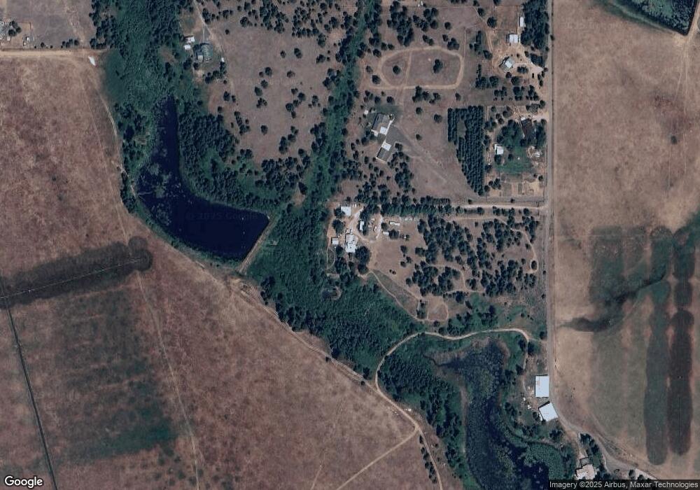
Map
Nearby Homes
- 201 W Jug Rd
- 241 W Jug Rd
- 241 W Jug Rd Unit 30
- 20 Vernon Ct
- 20 Vernon Ct Unit 4
- 239 Ashton Ln
- 13793 Ashton Ridge Place
- 13982 Comfort Rd
- 433 Wilhelm Creek Ct
- 433 Wilhelm Creek Ct Unit 72
- 14020 Comfort Rd
- 10421 Easy St
- 171 Finn Church Ln
- TBD Shaw Rd
- 13958 Turner Rd
- 13897 Sky View Ct
- 13901 Sky View Ct
- 13901 Sky View Ct Unit 2
- 14100 Pioneer Rd
- 14128 Jefferson Rd
- 13917 Lang Ct
- 13919 Lang Ct
- 13923 Lang Ct
- 217 Potter Ln
- 2021 Fox Fairway Ct
- 2017 Fox Fairway Ct
- 2008 Fox Fairway Ct Unit 27
- 2029 Fox Fairway Ct
- 2021 Fox Fairway Ct Unit 21
- 2017 Fox Fairway Ct Unit 20
- 2008 Fox Fairway Ct
- 243 Potter Ln
- 13893 Lang Ct
- 13895 Lang Ct
- 245 Potter Ln
- TBD Lang Ct
- 13926 Farm To Market Rd
- 13930 Farm To Market Rd
- 238 Potter Ln
- 232 Potter Ln
Your Personal Tour Guide
Ask me questions while you tour the home.