13917 Lang Ct McCall, ID 83638
Estimated Value: $1,157,000 - $1,305,000
4
Beds
2
Baths
2,219
Sq Ft
$546/Sq Ft
Est. Value
About This Home
This home is located at 13917 Lang Ct, McCall, ID 83638 and is currently estimated at $1,211,038, approximately $545 per square foot. 13917 Lang Ct is a home with nearby schools including McCall-Donnelly High School.
Ownership History
Date
Name
Owned For
Owner Type
Purchase Details
Closed on
Sep 30, 2025
Sold by
Kathleen K Moffat Living Trust and Moffat Kathleen K
Bought by
Packard Michael and Packard Cherie
Current Estimated Value
Home Financials for this Owner
Home Financials are based on the most recent Mortgage that was taken out on this home.
Original Mortgage
$900,000
Outstanding Balance
$900,000
Interest Rate
6.58%
Mortgage Type
New Conventional
Estimated Equity
$311,038
Purchase Details
Closed on
Jul 24, 2023
Sold by
Moffat Kathleen K
Bought by
Kathleen K Moffat Living Trust and Moffat
Purchase Details
Closed on
Aug 8, 2005
Sold by
Lockhart Jerald N and Lockhart Nancy B
Bought by
Donica Mark
Create a Home Valuation Report for This Property
The Home Valuation Report is an in-depth analysis detailing your home's value as well as a comparison with similar homes in the area
Home Values in the Area
Average Home Value in this Area
Purchase History
| Date | Buyer | Sale Price | Title Company |
|---|---|---|---|
| Packard Michael | -- | Fidelity National Title | |
| Kathleen K Moffat Living Trust | -- | None Listed On Document | |
| Moffat Kathleen K | -- | None Listed On Document | |
| Donica Mark | -- | -- |
Source: Public Records
Mortgage History
| Date | Status | Borrower | Loan Amount |
|---|---|---|---|
| Open | Packard Michael | $900,000 |
Source: Public Records
Tax History
| Year | Tax Paid | Tax Assessment Tax Assessment Total Assessment is a certain percentage of the fair market value that is determined by local assessors to be the total taxable value of land and additions on the property. | Land | Improvement |
|---|---|---|---|---|
| 2025 | $2,616 | $1,090,707 | $223,679 | $867,028 |
| 2023 | $2,616 | $1,078,801 | $251,037 | $827,764 |
| 2022 | $2,181 | $836,474 | $285,121 | $551,353 |
| 2021 | $2,301 | $566,362 | $103,786 | $462,576 |
| 2020 | $2,230 | $463,463 | $90,953 | $372,510 |
| 2019 | $495 | $90,238 | $90,238 | $0 |
| 2018 | $367 | $77,162 | $77,162 | $0 |
| 2017 | $426 | $79,440 | $79,440 | $0 |
| 2016 | $396 | $71,595 | $71,595 | $0 |
| 2015 | $405 | $69,767 | $0 | $0 |
| 2013 | -- | $46,101 | $0 | $0 |
Source: Public Records
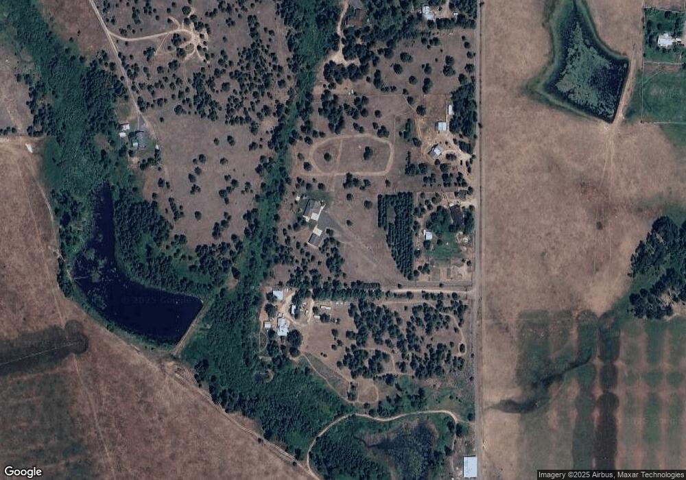
Map
Nearby Homes
- 319 Otter Pond Ln
- TBD Farm To Market Rd
- 201 W Jug Rd
- 30 Redtail Ln
- 241 W Jug Rd
- 241 W Jug Rd Unit 30
- 20 Vernon Ct
- 20 Vernon Ct Unit 4
- 15 Vernon Ct
- 23 Vernon Ct Unit Lot 21
- 8 York St Unit 11
- 9 Collins Ct Unit 2
- 15 York St
- 15 York St Unit 4
- 239 Ashton Ln
- 13810 Shadow Ridge Dr
- 416 Wilhelm Creek Ct Unit 86
- 416 Wilhelm Creek Ct
- 14055 Deerfield Rd
- 14055 Deerfield Rd Unit 6
- 13913 Lang Ct
- 13919 Lang Ct
- 13923 Lang Ct
- 2021 Fox Fairway Ct
- 2017 Fox Fairway Ct
- 2008 Fox Fairway Ct Unit 27
- 2029 Fox Fairway Ct
- 2021 Fox Fairway Ct Unit 21
- 2017 Fox Fairway Ct Unit 20
- 2008 Fox Fairway Ct
- 243 Potter Ln
- 217 Potter Ln
- 245 Potter Ln
- 238 Potter Ln
- 13893 Lang Ct
- 13895 Lang Ct
- TBD Lang Ct
- 232 Potter Ln
- 250 Potter Ln
- 297 Alta Vista Dr
Your Personal Tour Guide
Ask me questions while you tour the home.