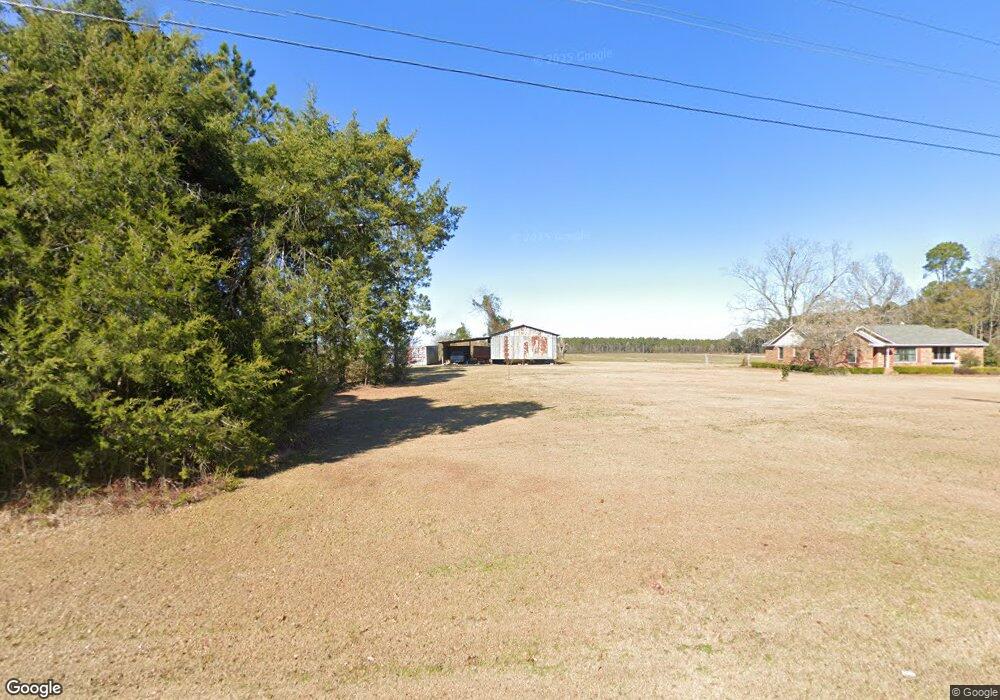
1392 Mizpah Rd Whigham, GA 39897
Estimated Value: $306,000 - $665,139
--
Bed
--
Bath
1,988
Sq Ft
$244/Sq Ft
Est. Value
About This Home
This home is located at 1392 Mizpah Rd, Whigham, GA 39897 and is currently estimated at $485,570, approximately $244 per square foot. 1392 Mizpah Rd is a home.
Ownership History
Date
Name
Owned For
Owner Type
Purchase Details
Closed on
Jan 8, 2018
Sold by
Kelly Creek Partners Llp
Bought by
Godwin Bobby I and Godwin Gail P
Current Estimated Value
Purchase Details
Closed on
Dec 31, 2007
Sold by
Godwin Casey D
Bought by
Kelly Creek Partners Llp
Purchase Details
Closed on
Dec 7, 2007
Sold by
Godwin Gail P
Bought by
Kelly Creek Partners Llp
Purchase Details
Closed on
Mar 12, 2001
Sold by
Godwin Summer C
Bought by
Godwin Bobby I
Purchase Details
Closed on
Sep 22, 1971
Bought by
Godwin Bobby I
Create a Home Valuation Report for This Property
The Home Valuation Report is an in-depth analysis detailing your home's value as well as a comparison with similar homes in the area
Home Values in the Area
Average Home Value in this Area
Purchase History
| Date | Buyer | Sale Price | Title Company |
|---|---|---|---|
| Godwin Bobby I | -- | -- | |
| Kelly Creek Partners Llp | -- | -- | |
| Kelly Creek Partners Llp | -- | -- | |
| Kelly Creek Partners Llp | -- | -- | |
| Kelly Creek Partners Llp | -- | -- | |
| Godwin Bobby I | -- | -- | |
| Godwin Bobby I | -- | -- |
Source: Public Records
Tax History Compared to Growth
Tax History
| Year | Tax Paid | Tax Assessment Tax Assessment Total Assessment is a certain percentage of the fair market value that is determined by local assessors to be the total taxable value of land and additions on the property. | Land | Improvement |
|---|---|---|---|---|
| 2024 | $3,553 | $218,400 | $131,891 | $86,509 |
| 2023 | $2,455 | $121,630 | $66,702 | $54,928 |
| 2022 | $2,434 | $121,630 | $66,702 | $54,928 |
| 2021 | $2,420 | $121,630 | $66,702 | $54,928 |
| 2020 | $2,313 | $122,509 | $67,581 | $54,928 |
| 2019 | $2,294 | $122,509 | $67,581 | $54,928 |
| 2018 | $2,121 | $122,509 | $67,581 | $54,928 |
| 2017 | $2,003 | $122,509 | $67,581 | $54,928 |
| 2016 | $1,794 | $115,146 | $67,581 | $47,565 |
| 2015 | $1,757 | $115,146 | $67,581 | $47,565 |
| 2014 | -- | $115,146 | $67,581 | $47,565 |
| 2013 | -- | $112,088 | $67,580 | $44,507 |
Source: Public Records
Map
Nearby Homes
- 0 Harrell Rd
- 7268 Lodgetown Rd
- TBD3 Cumbie Rd
- TBD2 Cumbie Rd
- TBD4 Cumbie Rd
- Tbd Cumbie Rd
- 0 Cumbie Rd
- 8468 Branchville Rd
- 0 Wade Rd
- 6203 Mount Olive Rd
- 1067 Wade Rd
- 0 Cal Thomas Rd
- 0 Pelham Rd Unit 23706472
- 53 +/- A Bond Rd
- 189 Sabino Dr
- 2033 Old 179 N
- 1741 Georgia 112
- 547 Eddie Avery Rd
- 000 Noles Rd
- 835 Mill Pond Rd