1392 Rock Rd Mansfield, OH 44903
Estimated Value: $287,176 - $311,000
About This Home
This home is located at 1392 Rock Rd, Mansfield, OH 44903 and is currently estimated at $297,294, approximately $189 per square foot. 1392 Rock Rd is a home located in Richland County with nearby schools including Stingel Elementary School, Ontario Middle School, and Ontario High School.
Ownership History
We collect this data history from publicly available records. To have your information removed, we recommend requesting removal directly through your county’s website.
Purchase Details
Home Financials for this Owner
Home Financials are based on the most recent Mortgage that was taken out on this home.Purchase Details
Purchase Details
Home Values in the Area
Average Home Value in this Area
Purchase History
We collect this data history from publicly available records. To have your information removed, we recommend requesting removal directly through your county’s website.
| Date | Buyer | Sale Price | Title Company |
|---|---|---|---|
| $128,000 | -- | ||
| $111,500 | -- | ||
| $6,500 | -- |
Mortgage History
We collect this data history from publicly available records. To have your information removed, we recommend requesting removal directly through your county’s website.
| Date | Status | Borrower | Loan Amount |
|---|---|---|---|
| Open | $121,600 |
Tax History
We collect this data history from publicly available records. To have your information removed, we recommend requesting removal directly through your county’s website.
| Year | Tax Paid | Tax Assessment Tax Assessment Total Assessment is a certain percentage of the fair market value that is determined by local assessors to be the total taxable value of land and additions on the property. | Land | Improvement |
|---|---|---|---|---|
| 2025 | $2,834 | $68,480 | $10,740 | $57,740 |
| 2024 | $2,834 | $68,480 | $10,740 | $57,740 |
| 2023 | $2,926 | $68,480 | $10,740 | $57,740 |
| 2022 | $2,721 | $55,700 | $9,770 | $45,930 |
| 2021 | $2,726 | $55,700 | $9,770 | $45,930 |
| 2020 | $2,909 | $55,700 | $9,770 | $45,930 |
| 2019 | $2,633 | $47,200 | $8,280 | $38,920 |
| 2018 | $2,236 | $47,200 | $8,280 | $38,920 |
| 2017 | $2,263 | $47,200 | $8,280 | $38,920 |
| 2016 | $2,327 | $49,170 | $8,030 | $41,140 |
| 2015 | $2,324 | $49,170 | $8,030 | $41,140 |
| 2014 | $2,329 | $49,170 | $8,030 | $41,140 |
| 2012 | $1,364 | $50,690 | $8,280 | $42,410 |
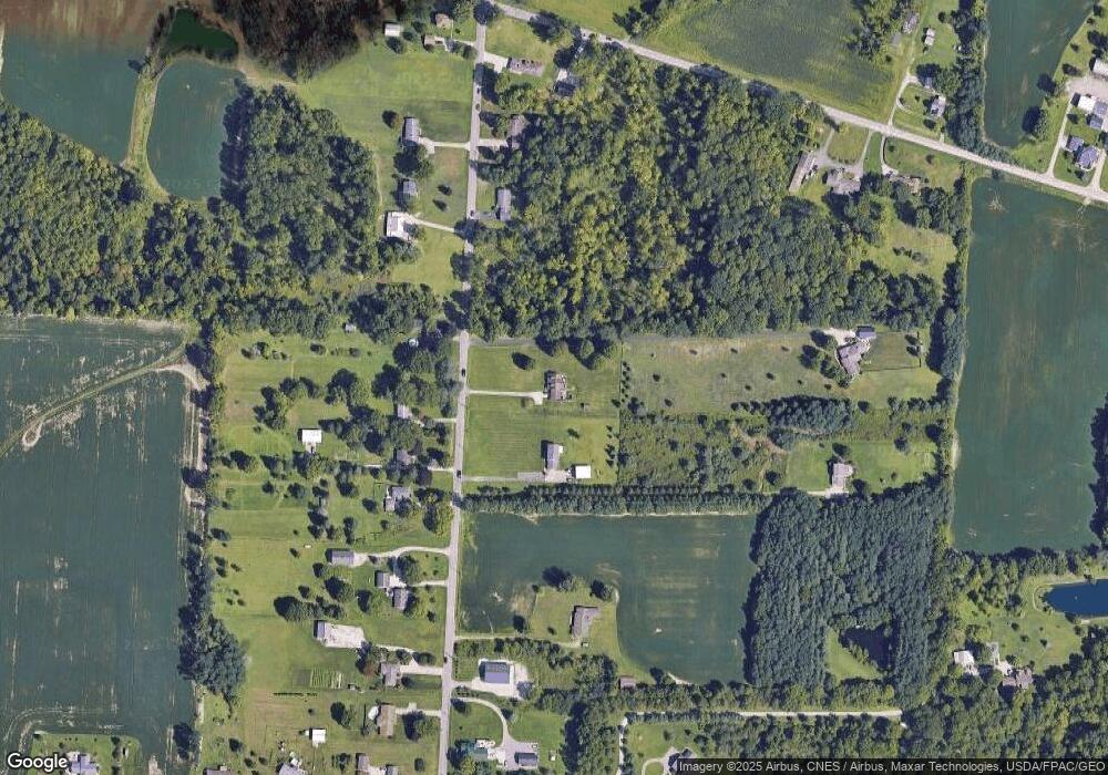
Map
- 1684 Rock Rd
- 1411 Burnison Rd
- 1555 Burnison Rd
- 3017 Springmill Rd W
- 0 Rock Rd
- 2583 Deerfield Ln
- 1116 Cobblefield Dr
- 1055 Crestfield St Unit B
- 701 Villa Dr
- 677 Villa Dr Unit 677
- 689 Scott Dr
- 707 Scott Dr Unit 707
- 2160 Ferguson Rd
- 3308 Park Ave W
- 3560 Park Ave W
- 3260 Oakstone Dr
- 1980 Walker Lake Rd
- 0 Rudy Rd
- 1935 Sandelwood Dr
- 3710 Shangri la Ave E
Ask me questions while you tour the home.