Estimated Value: $397,000 - $449,000
3
Beds
2
Baths
1,708
Sq Ft
$247/Sq Ft
Est. Value
About This Home
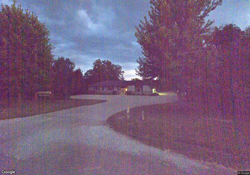
This home is located at 13921 W Il Route 173, Zion, IL 60099 and is currently estimated at $421,925, approximately $247 per square foot. 13921 W Il Route 173 is a home located in Lake County with nearby schools including Newport Elementary School, Beach Park Middle School, and Zion-Benton Township High School.
Ownership History
Date
Name
Owned For
Owner Type
Purchase Details
Closed on
Nov 14, 2008
Sold by
Williams Jeffrey A
Bought by
Rgi Llc
Current Estimated Value
Home Financials for this Owner
Home Financials are based on the most recent Mortgage that was taken out on this home.
Original Mortgage
$250,000
Outstanding Balance
$163,048
Interest Rate
5.95%
Mortgage Type
Purchase Money Mortgage
Estimated Equity
$258,877
Purchase Details
Closed on
Dec 26, 2003
Sold by
Williams Jeffrey A and Williams Lawrence A
Bought by
Williams Jeffrey A
Purchase Details
Closed on
Jan 24, 1994
Sold by
Gruel Richard and Gruel Myra
Bought by
Williams Jeffery A and Williams Lawrence A
Create a Home Valuation Report for This Property
The Home Valuation Report is an in-depth analysis detailing your home's value as well as a comparison with similar homes in the area
Home Values in the Area
Average Home Value in this Area
Purchase History
| Date | Buyer | Sale Price | Title Company |
|---|---|---|---|
| Rgi Llc | $312,500 | None Available | |
| Williams Jeffrey A | -- | -- | |
| Williams Jeffery A | $66,666 | -- |
Source: Public Records
Mortgage History
| Date | Status | Borrower | Loan Amount |
|---|---|---|---|
| Open | Rgi Llc | $250,000 |
Source: Public Records
Tax History Compared to Growth
Tax History
| Year | Tax Paid | Tax Assessment Tax Assessment Total Assessment is a certain percentage of the fair market value that is determined by local assessors to be the total taxable value of land and additions on the property. | Land | Improvement |
|---|---|---|---|---|
| 2024 | $11,414 | $123,829 | $50,426 | $73,403 |
| 2023 | $11,414 | $110,073 | $46,186 | $63,887 |
| 2022 | $12,072 | $114,759 | $49,102 | $65,657 |
| 2021 | $13,046 | $117,466 | $48,464 | $69,002 |
| 2020 | $13,052 | $114,735 | $47,337 | $67,398 |
| 2019 | $13,202 | $110,185 | $45,460 | $64,725 |
| 2018 | $12,080 | $96,174 | $41,216 | $54,958 |
| 2017 | $12,231 | $94,390 | $40,451 | $53,939 |
| 2016 | $12,208 | $91,233 | $39,098 | $52,135 |
| 2015 | $12,233 | $86,157 | $36,923 | $49,234 |
| 2014 | $10,749 | $83,794 | $35,910 | $47,884 |
| 2012 | $10,698 | $85,191 | $36,509 | $48,682 |
Source: Public Records
Map
Nearby Homes
- 41616 N Delany Rd
- 41616 N Delaney Rd
- 42008 N Delany Rd
- 40827 N Delany Rd
- 40661 N Delany Rd
- 41320 N Green Bay Rd
- 14960 W 21st St
- 4539 Illinois 173
- 4533 Illinois 173
- 1916 Sunshine Ct
- 2010 Sunset Ct
- 2031 Dawn Ln
- 40485 N Belle Foret Dr
- 42771 N Delany Rd
- 40417 N Belle Foret Dr
- 40404 N Belle Foret Dr
- 40342 N Belle Foret Dr
- 40354 N Belle Foret Dr
- 1302 Lorelei Dr
- 42334 N Heritage Lot 7 Trail
- 13921 Illinois 173
- 13921 W Route 173
- 13831 Illinois 173
- 13831 W Il Route 173
- 13906 W Il Route 173
- 41345 N Delany Rd
- 41305 N Delany Rd
- 41265 N Delany Rd
- 41235 N Delany Rd
- 41195 N Delany Rd
- 13669 W Il Route 173
- 41817 N Delany Rd
- 41750 N Delany Rd
- 41155 N Delany Rd
- 5700 Il Route 173
- 5701 Il Route 173
- 41125 N Delany Rd
- 13547 W Il Route 173
- 14400 W 21st St
- 5621 Il Route 173