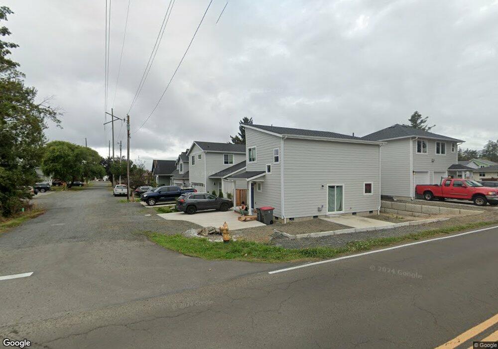
1394 N 10th Ave Seaside, OR 97138
Stanley Acres NeighborhoodEstimated Value: $385,000 - $533,000
--
Bed
--
Bath
--
Sq Ft
--
Built
About This Home
This home is located at 1394 N 10th Ave, Seaside, OR 97138 and is currently estimated at $454,680. 1394 N 10th Ave is a home with nearby schools including Seaside High School.
Ownership History
Date
Name
Owned For
Owner Type
Purchase Details
Closed on
Nov 27, 2024
Sold by
Spitznagel Thomas A
Bought by
9455 Llc
Current Estimated Value
Home Financials for this Owner
Home Financials are based on the most recent Mortgage that was taken out on this home.
Original Mortgage
$350,000
Outstanding Balance
$347,210
Interest Rate
6.72%
Mortgage Type
New Conventional
Estimated Equity
$107,470
Purchase Details
Closed on
Mar 23, 2021
Sold by
Millan Morales Luis Raman and Millan Tellez Luis
Bought by
Adams Robert K and Adams Lora F
Home Financials for this Owner
Home Financials are based on the most recent Mortgage that was taken out on this home.
Original Mortgage
$45,000
Interest Rate
2.73%
Mortgage Type
Commercial
Purchase Details
Closed on
Dec 5, 2018
Sold by
Kincaid Iris
Bought by
Millan Morales Luis Ramon and Millan Tellez Luis Abraham
Purchase Details
Closed on
Feb 9, 2006
Sold by
Kincaid Dennis Wayne
Bought by
Kincaid Iris
Create a Home Valuation Report for This Property
The Home Valuation Report is an in-depth analysis detailing your home's value as well as a comparison with similar homes in the area
Home Values in the Area
Average Home Value in this Area
Purchase History
| Date | Buyer | Sale Price | Title Company |
|---|---|---|---|
| 9455 Llc | -- | Lawyers Title | |
| Adams Robert K | $92,000 | Pacific Title Company | |
| Millan Morales Luis Ramon | $40,000 | Pacific Title Co | |
| Kincaid Iris | -- | None Available |
Source: Public Records
Mortgage History
| Date | Status | Borrower | Loan Amount |
|---|---|---|---|
| Open | 9455 Llc | $350,000 | |
| Previous Owner | Adams Robert K | $45,000 |
Source: Public Records
Tax History Compared to Growth
Tax History
| Year | Tax Paid | Tax Assessment Tax Assessment Total Assessment is a certain percentage of the fair market value that is determined by local assessors to be the total taxable value of land and additions on the property. | Land | Improvement |
|---|---|---|---|---|
| 2024 | $1,050 | $73,084 | -- | -- |
| 2023 | $385 | $26,840 | $0 | $0 |
| 2022 | $375 | $26,059 | $0 | $0 |
| 2021 | $454 | $31,281 | $0 | $0 |
| 2020 | $443 | $30,370 | $0 | $0 |
| 2019 | $431 | $29,486 | $0 | $0 |
| 2018 | $414 | $28,628 | $0 | $0 |
| 2017 | $395 | $27,795 | $0 | $0 |
| 2016 | $347 | $26,986 | $26,986 | $0 |
| 2015 | $338 | $26,200 | $26,200 | $0 |
| 2014 | $337 | $25,437 | $0 | $0 |
| 2013 | -- | $24,697 | $0 | $0 |
Source: Public Records
Map
Nearby Homes
- 0 Vacant Land Unit 159249124
- 0 N Wahanna Rd
- 1299 6th Ave
- 821 13th Ave
- 739 11th Ave
- 845 9th Ave
- 481 Hillside Loop
- 717 12th Ave
- 815 N King St
- 835 N Holladay Dr
- 814 17th Ave
- 790 17th Ave
- 1805 Broadway St
- 450 9th Ave
- 646 Necanicum Dr
- 1653 Lea Way
- 162 Hemlock St
- 830 Oceanway St
- 1269 Avenue D
- 405 S Wahanna Rd
- 0 10th and Wahanna Unit 21-105
- 0 10th and Wahanna Unit 22-480
- 0 10th and Wahanna Unit 22501467
- 0 10th and Wahanna Unit 21119961
- 0 10th and N Wahanna Unit 15-381
- 0 10th and N Wahanna Unit 15333396
- 1372 10th Ave
- 1001 N Wahanna Rd
- 1080 N Wahanna Rd
- 1375 11th Ave
- 1366 10th Ave
- 1365 11th Ave
- 985 N Wahanna Rd
- 1371 10th Ave
- 1355 11th Ave
- 1350 10th Ave
- 1365 10th Ave
- 1384 10th Ave
- 0 10th Street Lot 5
- 1344 10th Ave