Estimated Value: $507,000 - $563,000
3
Beds
2
Baths
1,432
Sq Ft
$378/Sq Ft
Est. Value
About This Home
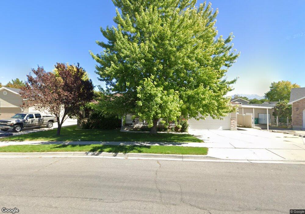
This home is located at 1394 N 250 W, Lehi, UT 84043 and is currently estimated at $541,060, approximately $377 per square foot. 1394 N 250 W is a home located in Utah County with nearby schools including Sego Lily Elementary School, Lehi Junior High School, and Skyridge High School.
Ownership History
Date
Name
Owned For
Owner Type
Purchase Details
Closed on
Oct 18, 1999
Sold by
Hi Valley Development Lc
Bought by
Valdez Jose C and Valdez Ruby A
Current Estimated Value
Purchase Details
Closed on
Oct 10, 1999
Sold by
Csr Enterprises Llc
Bought by
Hi Valley Development Corp
Purchase Details
Closed on
May 13, 1999
Sold by
Hi Valley Development Corp
Bought by
Valdez Jose C and Valdez Ruby
Home Financials for this Owner
Home Financials are based on the most recent Mortgage that was taken out on this home.
Original Mortgage
$121,900
Interest Rate
6.94%
Mortgage Type
Construction
Create a Home Valuation Report for This Property
The Home Valuation Report is an in-depth analysis detailing your home's value as well as a comparison with similar homes in the area
Home Values in the Area
Average Home Value in this Area
Purchase History
| Date | Buyer | Sale Price | Title Company |
|---|---|---|---|
| Valdez Jose C | -- | Mountain West Title Co | |
| Hi Valley Development Corp | -- | Mountain West Title Co | |
| Valdez Jose C | -- | Mountain West Title Co |
Source: Public Records
Mortgage History
| Date | Status | Borrower | Loan Amount |
|---|---|---|---|
| Previous Owner | Valdez Jose C | $121,900 |
Source: Public Records
Tax History Compared to Growth
Tax History
| Year | Tax Paid | Tax Assessment Tax Assessment Total Assessment is a certain percentage of the fair market value that is determined by local assessors to be the total taxable value of land and additions on the property. | Land | Improvement |
|---|---|---|---|---|
| 2025 | $518 | $254,705 | $216,900 | $246,200 |
| 2024 | $518 | $239,415 | $0 | $0 |
| 2023 | $263 | $242,825 | $0 | $0 |
| 2022 | $608 | $254,210 | $0 | $0 |
| 2021 | $450 | $338,500 | $125,500 | $213,000 |
| 2020 | $441 | $315,300 | $116,200 | $199,100 |
| 2019 | $1,590 | $304,300 | $116,200 | $188,100 |
| 2018 | $323 | $269,800 | $101,700 | $168,100 |
| 2017 | $292 | $140,415 | $0 | $0 |
| 2016 | $357 | $130,405 | $0 | $0 |
| 2015 | $311 | $117,150 | $0 | $0 |
| 2014 | $1,339 | $112,750 | $0 | $0 |
Source: Public Records
Map
Nearby Homes
- 1150 N 200 W Unit 6
- 1329 N 100 E Unit 21
- 1755 N 250 W
- 1295 N 190 E
- 996 N 200 W
- 155 W State St Unit TRLR 3
- 68 W State St
- 4333 N Baiken Ridge Dr Unit 1020
- 7 E State St
- 902 W 1500 N
- 443 W 820 N
- 1301 N 900 W Unit 12
- 1817 W Bad Rock Cir
- 497 W 2200 N
- 1094 W 1425 N
- 595 W 2200 N
- 1011 W Mountain Way Unit 316
- 1610 N 1125 W
- 705 N 400 E
- 497 W 2280 N
- 1394 N 250 W Unit 35
- 1412 N 250 W
- 1412 N 250 W Unit 34
- 1376 N 250 W
- 1376 N 250 W Unit 36
- 1393 N 180 W
- 1371 N 180 W
- 232 W Frontage Rd
- 1415 N 180 W
- 1430 N 250 W
- 1430 N 250 W Unit 33
- 1387 N 250 W
- 1387 N 250 W Unit 38
- 1449 N 180 W
- 1411 N 250 W
- 1411 N 250 W Unit 39
- 1437 N 180 W
- 1448 N 250 W
- 1448 N 250 W Unit 32
- 1376 N 180 W