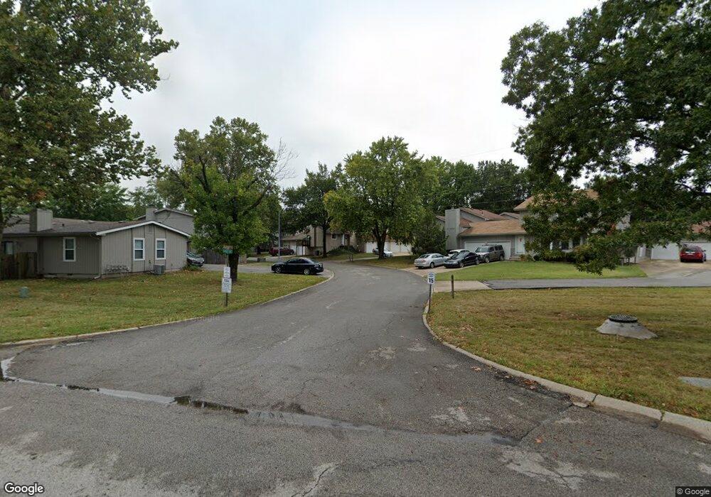
13942 Falkirk Cir Grandview, MO 64030
Estimated Value: $142,000 - $156,645
3
Beds
2
Baths
1,439
Sq Ft
$105/Sq Ft
Est. Value
About This Home
This home is located at 13942 Falkirk Cir, Grandview, MO 64030 and is currently estimated at $151,411, approximately $105 per square foot. 13942 Falkirk Cir is a home located in Jackson County with nearby schools including Butcher-Greene Elementary School, Grandview Middle, and Grandview High School.
Ownership History
Date
Name
Owned For
Owner Type
Purchase Details
Closed on
Feb 13, 2024
Sold by
King Anthony M
Bought by
King & King Rental Llc
Current Estimated Value
Purchase Details
Closed on
Jan 23, 1996
Sold by
Federal Home Loan Mortgage Corporation
Bought by
King Anthony M
Home Financials for this Owner
Home Financials are based on the most recent Mortgage that was taken out on this home.
Original Mortgage
$33,155
Interest Rate
6.92%
Mortgage Type
Purchase Money Mortgage
Create a Home Valuation Report for This Property
The Home Valuation Report is an in-depth analysis detailing your home's value as well as a comparison with similar homes in the area
Home Values in the Area
Average Home Value in this Area
Purchase History
| Date | Buyer | Sale Price | Title Company |
|---|---|---|---|
| King & King Rental Llc | -- | None Listed On Document | |
| King Anthony M | -- | Old Republic Title Company |
Source: Public Records
Mortgage History
| Date | Status | Borrower | Loan Amount |
|---|---|---|---|
| Previous Owner | King Anthony M | $33,155 |
Source: Public Records
Tax History Compared to Growth
Tax History
| Year | Tax Paid | Tax Assessment Tax Assessment Total Assessment is a certain percentage of the fair market value that is determined by local assessors to be the total taxable value of land and additions on the property. | Land | Improvement |
|---|---|---|---|---|
| 2025 | $2,233 | $28,645 | $2,474 | $26,171 |
| 2024 | $2,194 | $27,455 | $2,411 | $25,044 |
| 2023 | $2,194 | $27,455 | $1,588 | $25,867 |
| 2022 | $1,860 | $21,660 | $2,385 | $19,275 |
| 2021 | $1,858 | $21,660 | $2,385 | $19,275 |
| 2020 | $1,532 | $18,918 | $2,385 | $16,533 |
| 2019 | $1,478 | $18,918 | $2,385 | $16,533 |
| 2018 | $495 | $5,899 | $863 | $5,036 |
| 2017 | $493 | $5,899 | $863 | $5,036 |
| 2016 | $493 | $5,751 | $944 | $4,807 |
| 2014 | $500 | $5,751 | $944 | $4,807 |
Source: Public Records
Map
Nearby Homes
- 13747 Parker Ave
- 6206 E 140th Terrace
- 13804 Bennington Ave
- 14045 Dornoch St
- 14051 Dunbar Ct
- 14020 Dunoon St
- 13620 Bennington Ave
- 6104 E 136th St
- 13517 Lowell Ave
- 6604 E 135th St
- 13424 Parker Ave
- 13425 Belmead Ave
- 13420 Belmead Ave
- 13407 Bennington Ave
- 14401 Saint Andrews Dr
- 13303 Bennington Ave
- 13408 Bristol Ave
- 13227 Bennington Ave
- 13516 12th St
- 13218 Craig Ave
- 13946 Falkirk Cir
- 13940 Falkirk Cir
- 13944 Falkirk Cir
- 13938 Falkirk Cir
- 13936 Falkirk Cir
- 13948 Falkirk Cir
- 13932 Falkirk Cir
- 6220 E 139th St
- 13934 Falkirk Cir
- 6300 E 139th St
- 13952 Falkirk Cir
- 13925 Falkirk Cir
- 13927 Falkirk Cir
- 13919 Falkirk Cir
- 6218 E 139th St
- 13950 Falkirk Cir
- 13930 Falkirk Cir
- 13928 Falkirk Cir
- 13917 Falkirk Cir
- 6302 E 139th St