13944 N Old Wire Rd Garfield, AR 72732
Estimated Value: $439,000 - $652,000
Studio
1
Bath
2,024
Sq Ft
$263/Sq Ft
Est. Value
About This Home
This home is located at 13944 N Old Wire Rd, Garfield, AR 72732 and is currently estimated at $531,640, approximately $262 per square foot. 13944 N Old Wire Rd is a home located in Benton County with nearby schools including Pea Ridge Intermediate School, Pea Ridge Primary School, and Pea Ridge Junior High School.
Ownership History
Date
Name
Owned For
Owner Type
Purchase Details
Closed on
Mar 29, 2006
Sold by
Martinez Anastacio and Martinez Gregoria L
Bought by
Guevara Luis and Guevara Maria Carmen
Current Estimated Value
Purchase Details
Closed on
Feb 23, 2001
Bought by
Martinez
Purchase Details
Closed on
Jun 2, 2000
Bought by
Robb
Purchase Details
Closed on
May 13, 1999
Bought by
Brady and Robb
Purchase Details
Closed on
Oct 31, 1996
Bought by
Brady
Purchase Details
Closed on
Sep 9, 1994
Bought by
Cynthia Brady
Purchase Details
Closed on
Mar 24, 1993
Bought by
Brady
Purchase Details
Closed on
Sep 24, 1990
Bought by
Wolf
Create a Home Valuation Report for This Property
The Home Valuation Report is an in-depth analysis detailing your home's value as well as a comparison with similar homes in the area
Purchase History
| Date | Buyer | Sale Price | Title Company |
|---|---|---|---|
| Guevara Luis | $23,000 | Landtrust Title & Closing | |
| Martinez | $10,000 | -- | |
| Robb | -- | -- | |
| Brady | -- | -- | |
| Brady | $7,000 | -- | |
| Cynthia Brady | -- | -- | |
| Brady | -- | -- | |
| Wolf | $1,000 | -- |
Source: Public Records
Tax History
| Year | Tax Paid | Tax Assessment Tax Assessment Total Assessment is a certain percentage of the fair market value that is determined by local assessors to be the total taxable value of land and additions on the property. | Land | Improvement |
|---|---|---|---|---|
| 2025 | $3,284 | $80,222 | $7,596 | $72,626 |
| 2024 | $3,011 | $80,330 | $7,704 | $72,626 |
| 2023 | $2,737 | $53,170 | $5,560 | $47,610 |
| 2022 | $2,798 | $53,170 | $5,560 | $47,610 |
| 2021 | $2,571 | $53,170 | $5,560 | $47,610 |
| 2020 | $2,413 | $40,560 | $3,210 | $37,350 |
| 2019 | $2,413 | $40,560 | $3,210 | $37,350 |
| 2018 | $2,413 | $40,560 | $3,210 | $37,350 |
| 2017 | $2,041 | $40,560 | $3,210 | $37,350 |
| 2016 | $2,041 | $40,560 | $3,210 | $37,350 |
| 2015 | $1,719 | $33,130 | $1,930 | $31,200 |
| 2014 | $1,869 | $34,000 | $1,930 | $32,070 |
Source: Public Records
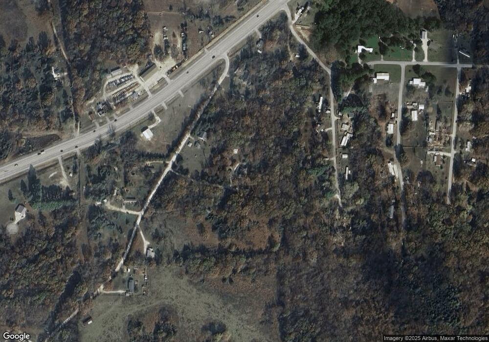
Map
Nearby Homes
- 15047 U S 62
- 14998 Highway 62
- 13977 Elkhorn Rd
- 13610 Degraff Rd
- Tract 3 Sugar Creek Rd
- 15049 White Fawn Dr
- 12476 Fire Run Rd
- 12238 Cavewood Rd
- 13482 Sugar Creek Rd
- 13585 Andy Jack Rd
- 353 E Rose St
- 15622 Coose Hollow Dr
- 150 N Highway 62
- 14.443 ac Byler Rd
- 969 Rader Rd
- 0 Rader Rd Unit 1290308
- 13113 Scenic Dr
- 329 Rader Rd
- 0 Coose Hollow Dr
- 15515 Patton Rd
- 13908 N Old Wire Rd
- 13970 N Old Wire Rd
- 13899 S Ridge Rd
- 13867 S Ridge Rd
- 15057 U S Highway 62
- 13843 S Ridge Rd
- 13962 N Old Wire Rd
- 13865 N Old Wire Rd
- 15067 Highway 62
- 15067 Highway 62
- 13970 S Ridge Rd
- 15057 U S 62
- 13918 S Ridge Rd
- 15147 Highway 62
- 15147 Highway 62
- 15239 Battlefield Rd
- 13844 S Ridge Rd
- 13840 N Old Wire Rd
- 15047 Highway 62
- 15047 Highway 62
Your Personal Tour Guide
Ask me questions while you tour the home.