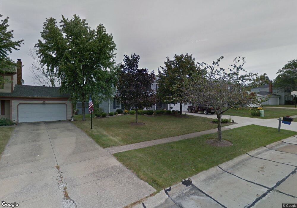
13944 Walking Stick Way Strongsville, OH 44136
Estimated Value: $372,488 - $415,000
4
Beds
3
Baths
2,030
Sq Ft
$196/Sq Ft
Est. Value
About This Home
This home is located at 13944 Walking Stick Way, Strongsville, OH 44136 and is currently estimated at $396,872, approximately $195 per square foot. 13944 Walking Stick Way is a home located in Cuyahoga County with nearby schools including Strongsville High School, Royal Redeemer Lutheran School, and Sts Joseph & John Interparochial School.
Ownership History
Date
Name
Owned For
Owner Type
Purchase Details
Closed on
Apr 19, 2010
Sold by
Albert Wayne H
Bought by
Albert Matthew
Current Estimated Value
Purchase Details
Closed on
Dec 3, 2009
Sold by
Grebey Dana L
Bought by
Albert Wayne H
Purchase Details
Closed on
Dec 8, 2005
Sold by
Albert Wayne H and Albert Jane E
Bought by
Albert Wayne H and Albert Jane E
Purchase Details
Closed on
Feb 27, 1981
Bought by
Albert Wayne H
Purchase Details
Closed on
Sep 26, 1980
Bought by
Hunting Valley Bldrs Inc
Purchase Details
Closed on
Jan 1, 1979
Bought by
North East Land Co
Create a Home Valuation Report for This Property
The Home Valuation Report is an in-depth analysis detailing your home's value as well as a comparison with similar homes in the area
Home Values in the Area
Average Home Value in this Area
Purchase History
| Date | Buyer | Sale Price | Title Company |
|---|---|---|---|
| Albert Matthew | -- | Attorney | |
| Albert Wayne H | -- | Attorney | |
| Albert Wayne H | -- | Public | |
| Albert Wayne H | $87,800 | -- | |
| Hunting Valley Bldrs Inc | -- | -- | |
| North East Land Co | -- | -- |
Source: Public Records
Tax History Compared to Growth
Tax History
| Year | Tax Paid | Tax Assessment Tax Assessment Total Assessment is a certain percentage of the fair market value that is determined by local assessors to be the total taxable value of land and additions on the property. | Land | Improvement |
|---|---|---|---|---|
| 2024 | $5,318 | $113,260 | $20,055 | $93,205 |
| 2023 | $5,236 | $83,620 | $19,740 | $63,880 |
| 2022 | $5,198 | $83,620 | $19,740 | $63,880 |
| 2021 | $5,157 | $83,620 | $19,740 | $63,880 |
| 2020 | $4,777 | $68,530 | $16,170 | $52,360 |
| 2019 | $4,637 | $195,800 | $46,200 | $149,600 |
| 2018 | $4,208 | $68,530 | $16,170 | $52,360 |
| 2017 | $4,194 | $63,220 | $12,920 | $50,300 |
| 2016 | $4,160 | $63,220 | $12,920 | $50,300 |
| 2015 | $4,219 | $63,220 | $12,920 | $50,300 |
| 2014 | $4,219 | $63,220 | $12,920 | $50,300 |
Source: Public Records
Map
Nearby Homes
- 14132 Walking Stick Way
- 13448 Compass Point Dr
- 14558 Drake Rd
- 13335 Tradewinds Dr
- 19252 Hidden Woods Ln
- 18987 Laurell Cir
- 19297 Hunt Rd
- 14292 Trenton Ave
- 14985 Camden Cir
- 19813 Cross Trail S
- 18229 Howe Rd
- 15188 Trails Landing
- 17130 Golden Star Dr
- 19694 Benbow Rd
- 19740 Benbow Rd
- 3137 Blackburn Ln
- 106 Briarleigh Dr
- 15604-REAR Boston Rd
- 18680 Bennett Rd
- 15772 Boston Rd
- 13930 Walking Stick Way
- 13958 Walking Stick Way
- 13916 Walking Stick Way
- 13972 Walking Stick Way
- 13943 Walking Stick Way
- 13929 Walking Stick Way
- 13902 Walking Stick Way
- 13986 Walking Stick Way
- 13915 Walking Stick Way
- 13985 Walking Stick Way
- 13904 E Bend Dr
- 13888 Walking Stick Way
- S/L 19 Walking Stick Way
- 18381 Butternut Cir
- 18419 Butternut Cir
- 13999 Walking Stick Way
- 14000 Walking Stick Way
- 13942 E Bend Dr
- 13874 Walking Stick Way
- 18343 Butternut Cir