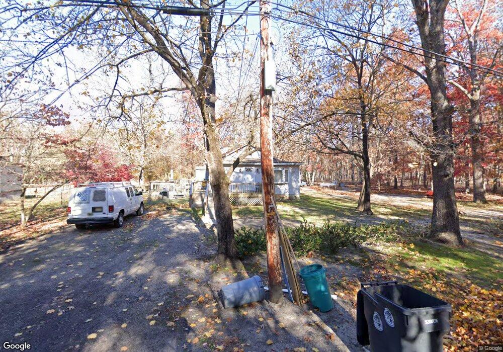
1395 Arlington Ave Mays Landing, NJ 08330
Estimated Value: $150,452 - $278,000
--
Bed
--
Bath
1,236
Sq Ft
$180/Sq Ft
Est. Value
About This Home
This home is located at 1395 Arlington Ave, Mays Landing, NJ 08330 and is currently estimated at $222,113, approximately $179 per square foot. 1395 Arlington Ave is a home with nearby schools including Joseph Shaner School, George L. Hess Educational Complex, and William Davies Middle School.
Ownership History
Date
Name
Owned For
Owner Type
Purchase Details
Closed on
Nov 10, 2005
Sold by
Miliver Jerome
Bought by
Jerome Miliver
Current Estimated Value
Home Financials for this Owner
Home Financials are based on the most recent Mortgage that was taken out on this home.
Original Mortgage
$112,000
Outstanding Balance
$62,561
Interest Rate
6.36%
Estimated Equity
$159,552
Purchase Details
Closed on
Dec 28, 1995
Sold by
Spivey George Robert and Spivey Kirby
Bought by
Crawford Thomas and Crawford Barbara
Purchase Details
Closed on
Sep 23, 1995
Sold by
Spivey George Robert and Spivey Kirby
Bought by
Crawford Thomas and Crawford Barbara
Create a Home Valuation Report for This Property
The Home Valuation Report is an in-depth analysis detailing your home's value as well as a comparison with similar homes in the area
Home Values in the Area
Average Home Value in this Area
Purchase History
| Date | Buyer | Sale Price | Title Company |
|---|---|---|---|
| Jerome Miliver | -- | -- | |
| Crawford Thomas | -- | -- | |
| Crawford Thomas | $16,500 | -- |
Source: Public Records
Mortgage History
| Date | Status | Borrower | Loan Amount |
|---|---|---|---|
| Open | Jerome Miliver | $112,000 |
Source: Public Records
Tax History Compared to Growth
Tax History
| Year | Tax Paid | Tax Assessment Tax Assessment Total Assessment is a certain percentage of the fair market value that is determined by local assessors to be the total taxable value of land and additions on the property. | Land | Improvement |
|---|---|---|---|---|
| 2025 | $2,841 | $82,800 | $26,200 | $56,600 |
| 2024 | $2,841 | $82,800 | $26,200 | $56,600 |
| 2023 | $2,671 | $82,800 | $26,200 | $56,600 |
| 2022 | $2,671 | $82,800 | $26,200 | $56,600 |
| 2021 | $2,665 | $82,800 | $26,200 | $56,600 |
| 2020 | $2,665 | $82,800 | $26,200 | $56,600 |
| 2019 | $2,672 | $82,800 | $26,200 | $56,600 |
| 2018 | $2,578 | $82,800 | $26,200 | $56,600 |
| 2017 | $2,538 | $82,800 | $26,200 | $56,600 |
| 2016 | $2,467 | $82,800 | $26,200 | $56,600 |
| 2015 | $2,383 | $82,800 | $26,200 | $56,600 |
| 2014 | $2,462 | $93,700 | $31,500 | $62,200 |
Source: Public Records
Map
Nearby Homes
- 6917 Market St
- 1362 Annapolis Ave
- 1368 Sitka Ave
- 1516 Thirty Third St
- 6422 Strand Ave
- 0 0 Strand Ave
- 6414 Strand Ave
- 0 St Petersburg Ave Unit NJAC2011842
- 0 St Petersburg Ave Unit NJAC2011840
- 0 San Francisco Ave
- 0 Division Ave
- 6839 Harding Hwy
- 0 Railroad Blvd
- 328 Llewellyn Ave
- 6361 Beacon Ave
- 0 South Ave
- 0 Merton Ave Unit NJAC2020566
- 968 Main Ave
- 5485 Landis Ave
- 0 Prep St
- 1393 Arlington Ave
- 1388 Arlington Ave
- 1384 Atlanta Ave
- 1384 Arlington Ave
- 6966 Strand Ave
- 6985 Strand Ave
- 6976 Melvin Newton Blvd
- 6954 Melvin Newton Blvd
- 1411 Buffalo Ave
- 1384 Buffalo Ave
- 1378 Buffalo Ave
- 6936 Strand Ave
- 6996 Strand Ave
- 6947 Melvin Newton Blvd
- 1376 Buffalo Ave
- 7005 Strand Ave
- 1370 Albany Ave
- 6935 Melvin Newton Blvd
- 1368 Buffalo Ave
- 1439 Nashville Ave