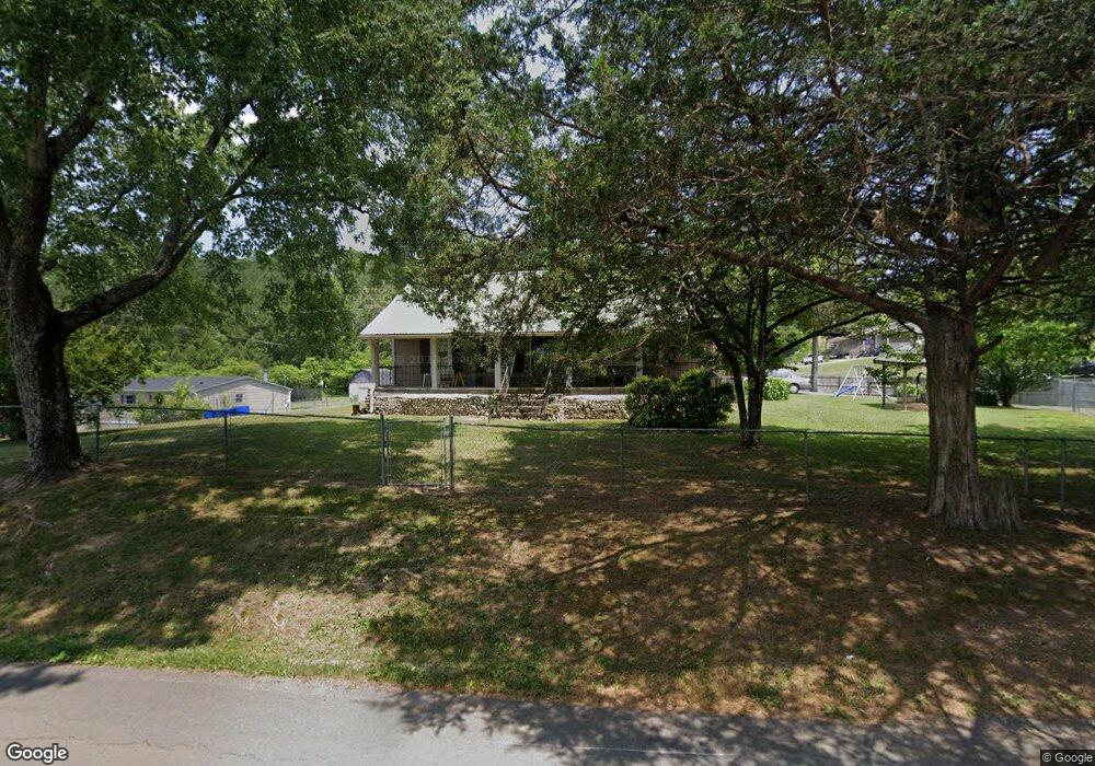
1395 Arnold Rd Rock Spring, GA 30739
Rock Spring NeighborhoodEstimated Value: $189,000 - $229,000
2
Beds
2
Baths
1,734
Sq Ft
$120/Sq Ft
Est. Value
About This Home
This home is located at 1395 Arnold Rd, Rock Spring, GA 30739 and is currently estimated at $208,448, approximately $120 per square foot. 1395 Arnold Rd is a home located in Walker County with nearby schools including Lafayette High School and Alice M Daley Adventist School.
Ownership History
Date
Name
Owned For
Owner Type
Purchase Details
Closed on
Jun 29, 2010
Sold by
Pettigrew Mack A
Bought by
Turner Herschel L
Current Estimated Value
Home Financials for this Owner
Home Financials are based on the most recent Mortgage that was taken out on this home.
Original Mortgage
$74,496
Outstanding Balance
$49,677
Interest Rate
4.79%
Mortgage Type
FHA
Estimated Equity
$158,772
Purchase Details
Closed on
Jan 5, 2007
Sold by
Not Provided
Bought by
Turner Herschel L and Turner Renee J
Home Financials for this Owner
Home Financials are based on the most recent Mortgage that was taken out on this home.
Original Mortgage
$78,200
Interest Rate
6.05%
Mortgage Type
New Conventional
Purchase Details
Closed on
Dec 20, 2000
Sold by
Krech Bill O
Bought by
Lowrance Jimmy Lynn and Lowrance Darlene
Purchase Details
Closed on
Jul 7, 2000
Bought by
Krech Bill O
Create a Home Valuation Report for This Property
The Home Valuation Report is an in-depth analysis detailing your home's value as well as a comparison with similar homes in the area
Home Values in the Area
Average Home Value in this Area
Purchase History
| Date | Buyer | Sale Price | Title Company |
|---|---|---|---|
| Turner Herschel L | $75,500 | -- | |
| Turner Herschel L | -- | -- | |
| Lowrance Jimmy Lynn | $65,000 | -- | |
| Krech Bill O | -- | -- |
Source: Public Records
Mortgage History
| Date | Status | Borrower | Loan Amount |
|---|---|---|---|
| Open | Turner Herschel L | $74,496 | |
| Previous Owner | Turner Herschel L | $78,200 |
Source: Public Records
Tax History Compared to Growth
Tax History
| Year | Tax Paid | Tax Assessment Tax Assessment Total Assessment is a certain percentage of the fair market value that is determined by local assessors to be the total taxable value of land and additions on the property. | Land | Improvement |
|---|---|---|---|---|
| 2024 | $739 | $63,396 | $6,455 | $56,941 |
| 2023 | $676 | $59,137 | $5,123 | $54,014 |
| 2022 | $502 | $50,323 | $3,674 | $46,649 |
| 2021 | $498 | $41,221 | $3,674 | $37,547 |
| 2020 | $483 | $35,482 | $3,674 | $31,808 |
| 2019 | $500 | $35,482 | $3,674 | $31,808 |
| 2018 | $939 | $35,482 | $3,674 | $31,808 |
| 2017 | $1,181 | $35,482 | $3,674 | $31,808 |
| 2016 | $949 | $35,482 | $3,674 | $31,808 |
| 2015 | $642 | $21,708 | $3,432 | $18,276 |
| 2014 | $560 | $21,708 | $3,432 | $18,276 |
| 2013 | -- | $21,707 | $3,432 | $18,275 |
Source: Public Records
Map
Nearby Homes
- 1476 Arnold Rd
- 1121 Arnold Rd
- 1902 Long Hollow Rd
- 195 Honeysuckle Dr
- 918 Old Lafayette Rd
- 59 Honeysuckle Dr
- 788 Long Hollow Rd
- 36 Pheonix Cir
- 954 Goodson Cir
- 514 Ginger Lake Dr
- 70 Deer Ridge Ln
- 103 Deer Ridge Ln
- 285 Cooper Rd
- 386 Twelve Oaks Dr
- 200 Hunting Ridge Cir
- 124 Fieldstone Commons
- 294 E Long Hollow Rd
- 375 Cooper Rd
- 183 Long Hollow Rd
- 701 Bicentennial Trail
- 41 Avery Dr
- 1351 Arnold Rd
- 1351 Arnold Rd
- 14 Avery Dr
- 61 Avery Dr
- 54 Avery Dr
- 1337 Arnold Rd
- 1476 Hwy 27 N
- 8442 N Highway 27
- 12937 N Highway 27
- 185 Paytn Ln
- 1319 Arnold Rd
- 7001 N Highway N 27 Hwy
- 0 N Highway 27 Unit RTC2913180
- 0 N Highway 27 Unit RTC2719935
- 9098 N Highway 27
- 8100 N Highway 27
- 17 N Highway 27
- 100 N Highway 27