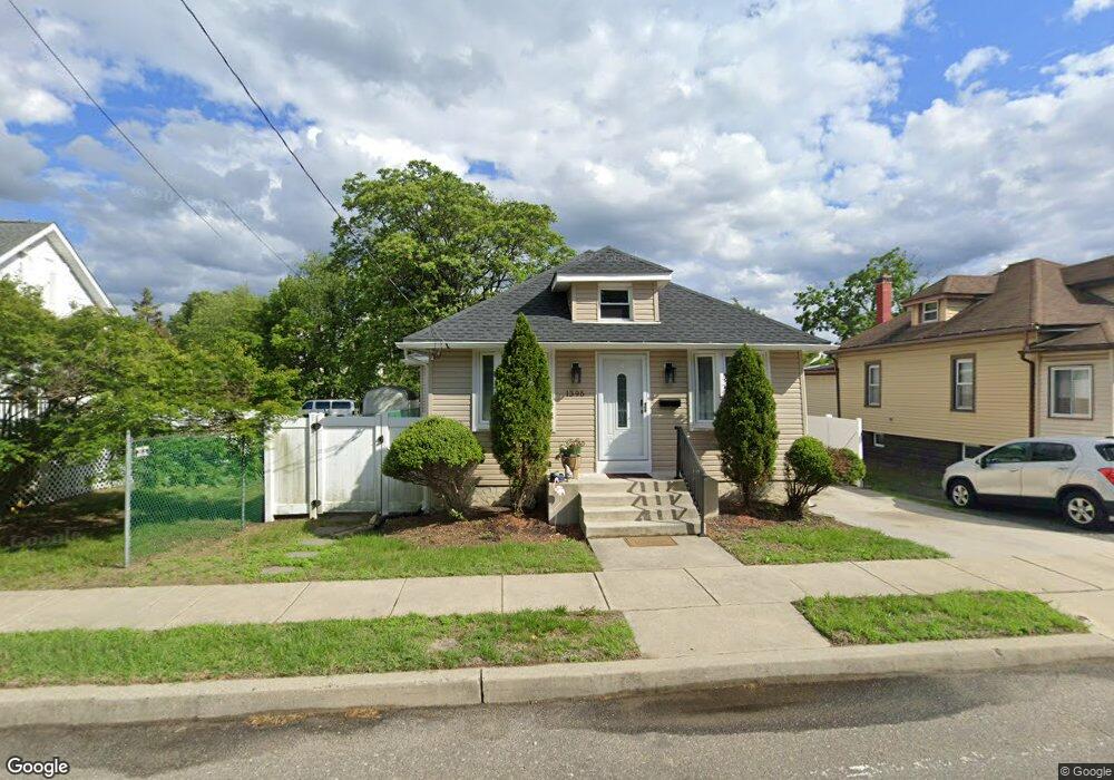
1395 Crown Point Rd West Deptford, NJ 08093
West Deptford Township NeighborhoodEstimated Value: $254,605 - $330,000
--
Bed
--
Bath
1,350
Sq Ft
$216/Sq Ft
Est. Value
About This Home
This home is located at 1395 Crown Point Rd, West Deptford, NJ 08093 and is currently estimated at $291,401, approximately $215 per square foot. 1395 Crown Point Rd is a home located in Gloucester County with nearby schools including Oakview Elementary School, Red Bank Elementary School, and Green-Fields Elementary School.
Ownership History
Date
Name
Owned For
Owner Type
Purchase Details
Closed on
Jan 25, 2013
Sold by
Freeberg Janette and Sailor Eric J
Bought by
Sailor Janette
Current Estimated Value
Purchase Details
Closed on
Jul 30, 2007
Sold by
Lanard Robert
Bought by
Freeberg Janette
Home Financials for this Owner
Home Financials are based on the most recent Mortgage that was taken out on this home.
Original Mortgage
$164,419
Interest Rate
6.78%
Mortgage Type
FHA
Purchase Details
Closed on
Sep 19, 2000
Sold by
Hud
Bought by
Lanard Robert
Purchase Details
Closed on
Nov 8, 1999
Sold by
Swietanski Douglas F and Swietanski Elaine M
Bought by
Hud
Create a Home Valuation Report for This Property
The Home Valuation Report is an in-depth analysis detailing your home's value as well as a comparison with similar homes in the area
Home Values in the Area
Average Home Value in this Area
Purchase History
| Date | Buyer | Sale Price | Title Company |
|---|---|---|---|
| Sailor Janette | -- | -- | |
| Freeberg Janette | $167,000 | Surety Title Corporation | |
| Lanard Robert | $41,625 | Independence Abstract & Titl | |
| Hud | -- | -- |
Source: Public Records
Mortgage History
| Date | Status | Borrower | Loan Amount |
|---|---|---|---|
| Previous Owner | Freeberg Janette | $164,419 |
Source: Public Records
Tax History Compared to Growth
Tax History
| Year | Tax Paid | Tax Assessment Tax Assessment Total Assessment is a certain percentage of the fair market value that is determined by local assessors to be the total taxable value of land and additions on the property. | Land | Improvement |
|---|---|---|---|---|
| 2025 | $2,099 | $198,100 | $36,500 | $161,600 |
| 2024 | $5,198 | $60,100 | $36,500 | $23,600 |
| 2023 | $5,198 | $150,800 | $36,500 | $114,300 |
| 2022 | $5,174 | $150,800 | $36,500 | $114,300 |
| 2021 | $5,156 | $150,800 | $36,500 | $114,300 |
| 2020 | $5,144 | $150,800 | $36,500 | $114,300 |
| 2019 | $5,001 | $150,800 | $36,500 | $114,300 |
| 2018 | $4,865 | $150,800 | $36,500 | $114,300 |
| 2017 | $4,752 | $150,800 | $36,500 | $114,300 |
| 2016 | $4,619 | $150,800 | $36,500 | $114,300 |
| 2015 | $4,549 | $155,900 | $41,600 | $114,300 |
| 2014 | $4,323 | $155,900 | $41,600 | $114,300 |
Source: Public Records
Map
Nearby Homes
- 1359 Crown Point Rd
- 1346 Verga Ave
- 1009 Hessian Ave
- 1372 Riley Ave
- 1174 Harker Ave
- 1134 Brewer Ave
- 1185 Lawnton Ave
- 1156 Hessian Ave
- 182 Covington Ln
- 815 Harker Ave
- 210 Lawnton Ave
- 1234 Lincoln Ave
- 575 Lawnton Ave
- 57 Hessian Ave
- 112 Progress Ave
- 1416 Cleveland Ave
- 125 Crescent Ave
- 1337 Lincoln Ave
- 121 Crescent Ave
- 845 W Red Bank Ave
- 1399 Crown Point Rd
- 1391 Crown Point Rd
- 1403 Crown Point Rd
- 1396 Crown Point Rd
- 1400 Crown Point Rd
- 987 Mail Ave
- 974 Mail Ave
- 1382 Crown Point Rd
- 977 Hessian Ave
- 1406 Crown Point Rd
- 1377 Crown Point Rd
- 1392 Verga Ave
- 1374 Crown Point Rd
- 1371 Crown Point Rd
- 1378 Verga Ave
- 1369 Crown Point Rd
- 1370 Crown Point Rd
- 1372 Verga Ave
- 963 Hessian Ave
- 1363 Crown Point Rd