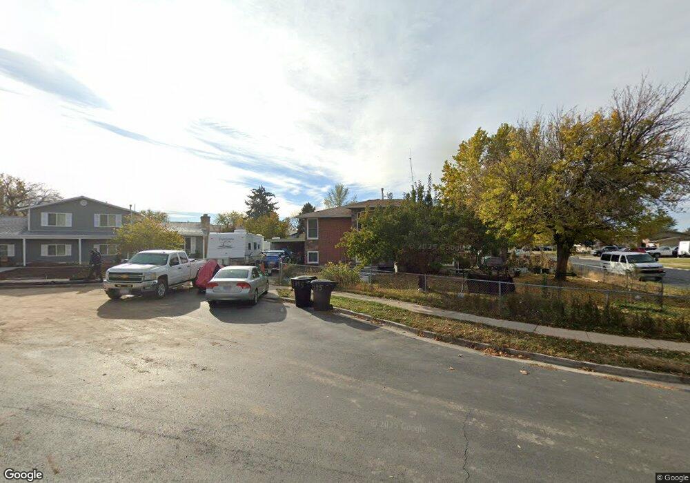
1395 David Cir Syracuse, UT 84075
Estimated Value: $388,000 - $420,000
4
Beds
2
Baths
1,964
Sq Ft
$207/Sq Ft
Est. Value
About This Home
This home is located at 1395 David Cir, Syracuse, UT 84075 and is currently estimated at $406,737, approximately $207 per square foot. 1395 David Cir is a home located in Davis County with nearby schools including Cook School, Syracuse Junior High School, and Syracuse High School.
Ownership History
Date
Name
Owned For
Owner Type
Purchase Details
Closed on
Apr 21, 2010
Sold by
Ricker Randal F and Ricker Barbara A
Bought by
Ricker Barbara A and Ricker Randal F
Current Estimated Value
Home Financials for this Owner
Home Financials are based on the most recent Mortgage that was taken out on this home.
Original Mortgage
$103,013
Interest Rate
4.27%
Mortgage Type
New Conventional
Purchase Details
Closed on
Jun 21, 2004
Sold by
Stauffer Aylor and Stauffer Mieko K
Bought by
Ricker Randal F and Ricker Barbara A
Home Financials for this Owner
Home Financials are based on the most recent Mortgage that was taken out on this home.
Original Mortgage
$111,625
Interest Rate
6.09%
Mortgage Type
Credit Line Revolving
Create a Home Valuation Report for This Property
The Home Valuation Report is an in-depth analysis detailing your home's value as well as a comparison with similar homes in the area
Home Values in the Area
Average Home Value in this Area
Purchase History
| Date | Buyer | Sale Price | Title Company |
|---|---|---|---|
| Ricker Barbara A | -- | First American Title | |
| Ricker Randal F | -- | First American Title Co |
Source: Public Records
Mortgage History
| Date | Status | Borrower | Loan Amount |
|---|---|---|---|
| Closed | Ricker Barbara A | $103,013 | |
| Closed | Ricker Randal F | $111,625 |
Source: Public Records
Tax History Compared to Growth
Tax History
| Year | Tax Paid | Tax Assessment Tax Assessment Total Assessment is a certain percentage of the fair market value that is determined by local assessors to be the total taxable value of land and additions on the property. | Land | Improvement |
|---|---|---|---|---|
| 2025 | -- | $200,750 | $117,843 | $82,907 |
| 2024 | -- | $195,800 | $96,638 | $99,162 |
| 2023 | -- | $334,000 | $134,700 | $199,300 |
| 2022 | $1,198 | $193,050 | $77,652 | $115,398 |
| 2021 | $1,198 | $283,000 | $114,659 | $168,341 |
| 2020 | $1,198 | $239,000 | $100,295 | $138,705 |
| 2019 | $1,198 | $215,000 | $97,527 | $117,473 |
| 2018 | $0 | $188,000 | $94,462 | $93,538 |
| 2016 | $1,114 | $83,270 | $36,275 | $46,995 |
| 2015 | $1,075 | $76,505 | $36,440 | $40,065 |
| 2014 | $1,006 | $72,935 | $36,440 | $36,495 |
| 2013 | $1,145 | $78,657 | $28,435 | $50,222 |
Source: Public Records
Map
Nearby Homes