Estimated Value: $327,000 - $330,338
3
Beds
2
Baths
1,614
Sq Ft
$204/Sq Ft
Est. Value
About This Home
This home is located at 13955 State Route E, Rolla, MO 65401 and is currently estimated at $328,669, approximately $203 per square foot. 13955 State Route E is a home located in Phelps County with nearby schools including Rolla Junior High School and Rolla Senior High School.
Ownership History
Date
Name
Owned For
Owner Type
Purchase Details
Closed on
Sep 6, 2023
Sold by
Pugh James O and Pugh Carol L
Bought by
Lewis Karl L
Current Estimated Value
Home Financials for this Owner
Home Financials are based on the most recent Mortgage that was taken out on this home.
Original Mortgage
$293,000
Interest Rate
6.57%
Mortgage Type
Construction
Purchase Details
Closed on
Jun 26, 2014
Purchase Details
Closed on
Mar 11, 1981
Purchase Details
Closed on
Mar 9, 1981
Create a Home Valuation Report for This Property
The Home Valuation Report is an in-depth analysis detailing your home's value as well as a comparison with similar homes in the area
Purchase History
| Date | Buyer | Sale Price | Title Company |
|---|---|---|---|
| Lewis Karl L | $366,250 | South Ctrl Land Title | |
| -- | -- | -- | |
| -- | -- | -- | |
| -- | -- | -- |
Source: Public Records
Mortgage History
| Date | Status | Borrower | Loan Amount |
|---|---|---|---|
| Closed | Lewis Karl L | $293,000 |
Source: Public Records
Tax History
| Year | Tax Paid | Tax Assessment Tax Assessment Total Assessment is a certain percentage of the fair market value that is determined by local assessors to be the total taxable value of land and additions on the property. | Land | Improvement |
|---|---|---|---|---|
| 2025 | $1,427 | $26,570 | $3,630 | $22,940 |
| 2024 | $1,214 | $23,780 | $2,610 | $21,170 |
| 2023 | $1,221 | $23,780 | $2,610 | $21,170 |
| 2022 | $1,028 | $23,780 | $2,610 | $21,170 |
| 2021 | $1,036 | $23,780 | $2,610 | $21,170 |
| 2020 | $957 | $21,470 | $2,610 | $18,860 |
| 2019 | $951 | $21,470 | $2,610 | $18,860 |
| 2018 | $942 | $21,470 | $2,610 | $18,860 |
| 2017 | $941 | $21,470 | $2,610 | $18,860 |
| 2016 | $909 | $21,470 | $2,610 | $18,860 |
| 2015 | -- | $21,470 | $2,610 | $18,860 |
| 2014 | -- | $21,590 | $2,730 | $18,860 |
| 2013 | -- | $21,590 | $0 | $0 |
Source: Public Records
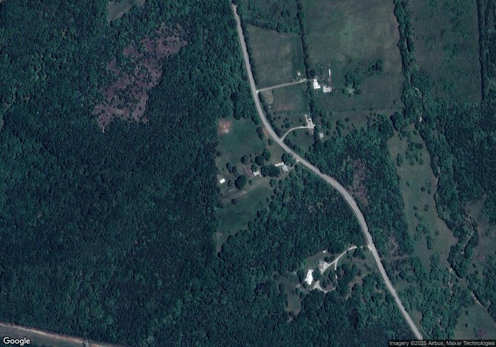
Map
Nearby Homes
- 13030 County Road 8250
- Tract A County Road 8250
- Tract C County Road 8250
- 14525 State Route Y
- 16150 County Road 8390
- 000 County Road 8420
- 15+/- Acres County Road 8420
- 14420 County Road 8050
- 17265 County Road 8280
- Lot 2 Arnold Park Lot N A
- 217 N Maple Ave
- 0 Lot 4 Arnold Park Lot N A Unit HMS2572359
- 11300 Private Drive 8249
- 11240 State Hwy E
- 310 Cougar Ridge Dr
- 0 County Road 8050
- 10250 County Road 8150
- 11955 County Road 8030
- 1400 Nagogami Rd
- 2400 Vichy Rd
- 13955 State Hwy E
- 13956 State Route E
- 13775 State Route E
- 13601 State Route E
- 13995 State Hwy E
- 14180 State Route E
- 40 Route E
- 13395 State Route E
- 14245 State Route E
- 14245 State Route E
- 14655 County Road 8300
- 13331 State Route E
- 14515 State Route Hh
- 13321 State Route E
- 13305 State Route E
- 13305 State Route E
- 14725 County Road 8300
- 14725 County Road 8300
- 14675 County Road 8300
- 14405 State Route E
Your Personal Tour Guide
Ask me questions while you tour the home.