1396 Navajo Rd Coalville, UT 84017
Estimated Value: $748,000 - $825,000
3
Beds
3
Baths
1,350
Sq Ft
$580/Sq Ft
Est. Value
About This Home
This home is located at 1396 Navajo Rd, Coalville, UT 84017 and is currently estimated at $783,147, approximately $580 per square foot. 1396 Navajo Rd is a home located in Summit County with nearby schools including North Summit Middle School, North Summit Elementary School, and North Summit High School.
Ownership History
Date
Name
Owned For
Owner Type
Purchase Details
Closed on
Oct 4, 2019
Sold by
Whitehouse Wendell R
Bought by
Whitehouse Wendell R and Pursell Susan M
Current Estimated Value
Purchase Details
Closed on
May 24, 2017
Sold by
Maag Daniel J and Maag Lori A
Bought by
Whitehouse Wendell R
Purchase Details
Closed on
Dec 21, 2007
Sold by
Tanner Justin and Tanner Sally K
Bought by
Maag Daniel J and Maag Loria A
Home Financials for this Owner
Home Financials are based on the most recent Mortgage that was taken out on this home.
Original Mortgage
$73,600
Interest Rate
6.07%
Mortgage Type
Purchase Money Mortgage
Purchase Details
Closed on
Nov 4, 2005
Sold by
Tanner Justin and Tanner Sally
Bought by
Tanner Justin and Tanner Sally K
Create a Home Valuation Report for This Property
The Home Valuation Report is an in-depth analysis detailing your home's value as well as a comparison with similar homes in the area
Home Values in the Area
Average Home Value in this Area
Purchase History
| Date | Buyer | Sale Price | Title Company |
|---|---|---|---|
| Whitehouse Wendell R | -- | First American Tite Sun Peak | |
| Whitehouse Wendell R | -- | First American Title Insuran | |
| Maag Daniel J | -- | First American Title Ins Ag | |
| Tanner Justin | -- | None Available |
Source: Public Records
Mortgage History
| Date | Status | Borrower | Loan Amount |
|---|---|---|---|
| Previous Owner | Maag Daniel J | $73,600 |
Source: Public Records
Tax History Compared to Growth
Tax History
| Year | Tax Paid | Tax Assessment Tax Assessment Total Assessment is a certain percentage of the fair market value that is determined by local assessors to be the total taxable value of land and additions on the property. | Land | Improvement |
|---|---|---|---|---|
| 2024 | $4,214 | $414,389 | $77,000 | $337,389 |
| 2023 | $4,214 | $759,774 | $150,000 | $609,774 |
| 2022 | $3,402 | $616,134 | $100,000 | $516,134 |
| 2021 | $3,056 | $453,130 | $40,000 | $413,130 |
| 2020 | $3,031 | $427,382 | $40,000 | $387,382 |
| 2019 | $1,909 | $235,060 | $22,000 | $213,060 |
| 2018 | $1,671 | $205,849 | $22,000 | $183,849 |
| 2017 | $1,420 | $182,782 | $30,800 | $151,982 |
| 2016 | $1,349 | $164,193 | $30,800 | $133,393 |
| 2015 | $1,412 | $164,193 | $0 | $0 |
| 2013 | $2,342 | $270,259 | $0 | $0 |
Source: Public Records
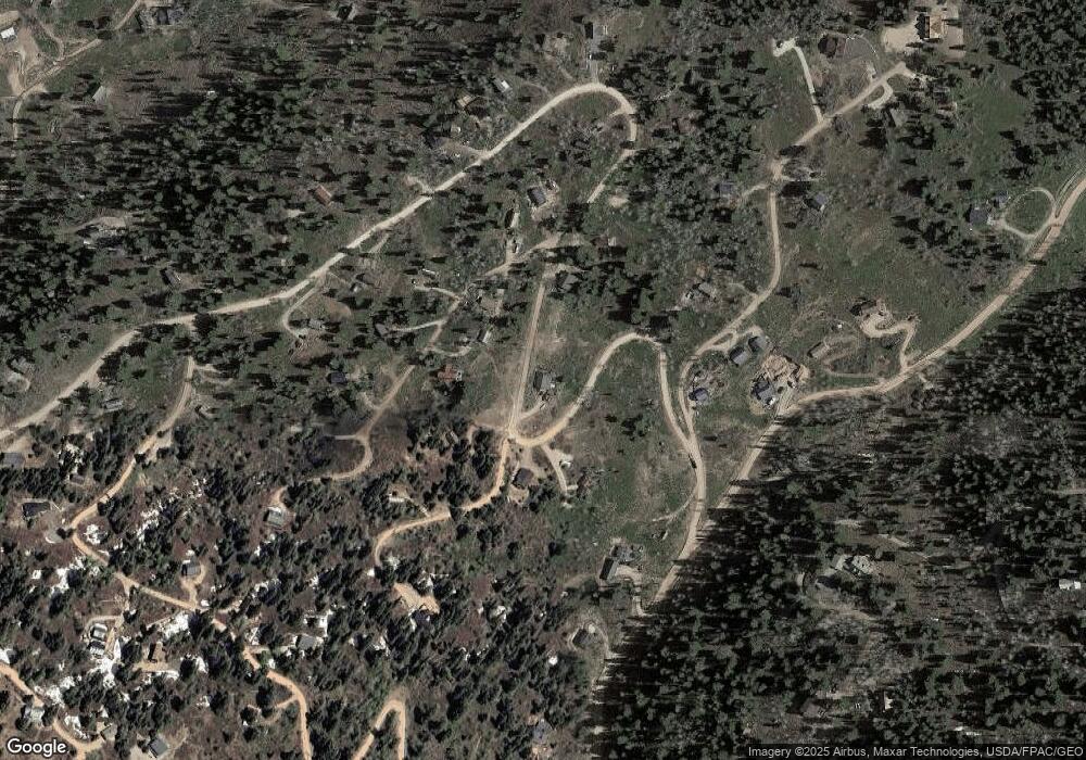
Map
Nearby Homes
- 2261 Pine Meadow Dr
- 2393 S Navajo Dr Unit Pi-C-47
- 2393 S Navajo Dr Unit C-47
- 1430 W Arapaho Dr Unit 59
- 1430 W Arapaho Dr
- 2421 S Navajo Dr Unit PI-C50
- 2421 Navajo Rd
- 1678 W Alexander Canyon Rd Unit D-92
- 1598 Arapaho Dr Unit 93
- 1598 Arapaho Dr
- 1215 Elk Rd
- 2422 S Valley View Rd
- 1065 Beaver Cir
- 1678 Alexander Canyon Rd Unit 92
- 2458 S Forest Meadow Rd
- 2481 Forest Meadow Rd Unit D91
- 1985 W Valley Vista Dr
- 2560 S Valley View Rd Unit 1
- 2132 S Aspen Ridge
- 2132 S Aspen Ridge Unit G47
- 1396 Navajo Rd Unit 37
- 1376 Navajo Rd
- 1376 Navajo Rd Unit C36
- 1376 Navajo Rd Unit 36
- 1376 Navajo Rd Unit C36
- 2257 Deer Loop
- 1414 W Navajo Rd
- 1401 Navajo Rd
- 1395 Navajo Rd
- 1365 Navajo Rd
- 1365 Navajo Rd
- 1365 Navajo Rd Unit C-38
- 1365 Navajo Rd Unit C-38
- 2229 Deer Loop
- 1424 Navajo Rd
- 1345 Navajo Rd
- 1345 Navajo Rd Unit C-39
- 556 Deer Loop Unit 556A
- 2256 Running Deer Cir
- 2256 Running Deer Cir Unit 32