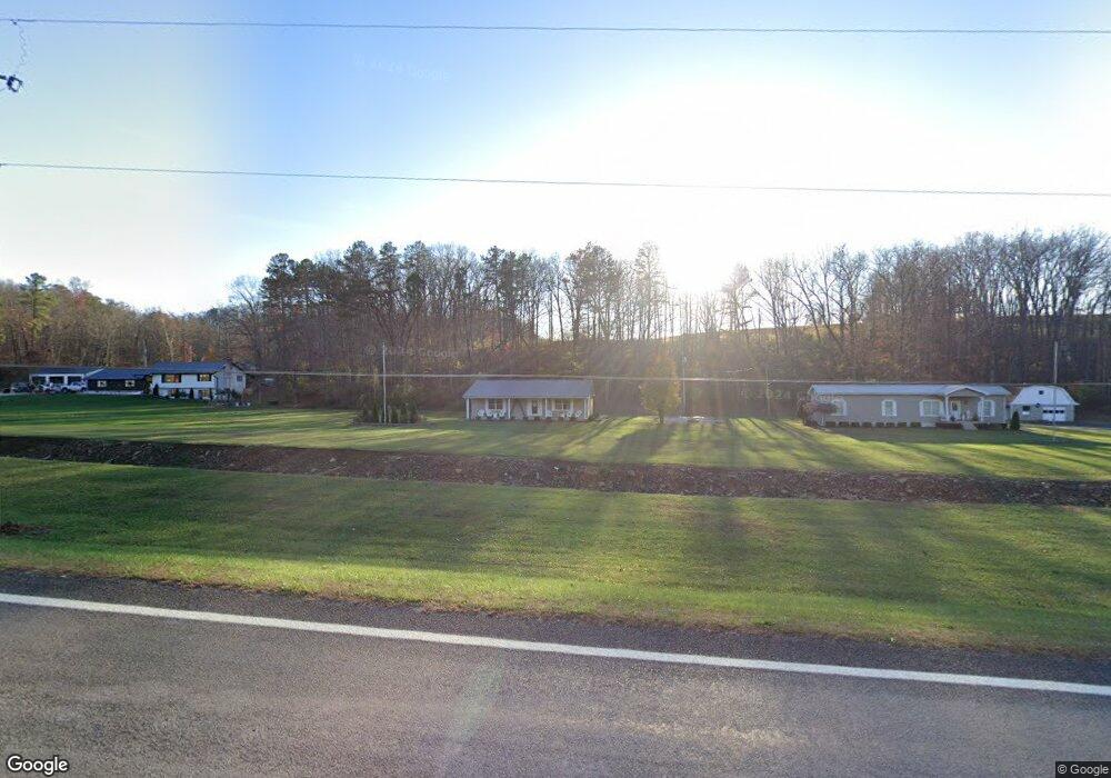
13960 State Route 73 Mc Dermott, OH 45652
Estimated Value: $214,803 - $245,000
2
Beds
1
Bath
1,288
Sq Ft
$182/Sq Ft
Est. Value
About This Home
This home is located at 13960 State Route 73, Mc Dermott, OH 45652 and is currently estimated at $233,934, approximately $181 per square foot. 13960 State Route 73 is a home located in Scioto County with nearby schools including Northwest Elementary School, Northwest Middle School, and Northwest High School.
Ownership History
Date
Name
Owned For
Owner Type
Purchase Details
Closed on
Feb 2, 2016
Sold by
Mills Larry L and Mills Anita
Bought by
Mills Paul D
Current Estimated Value
Purchase Details
Closed on
Feb 1, 2016
Sold by
Mills Paul D and Mills Patricia
Bought by
Mills Paul D and Mills Patricia
Purchase Details
Closed on
Oct 4, 2013
Sold by
Bascom Bascom and Mills Freda
Bought by
Mills Larry L and Mills Paul D
Purchase Details
Closed on
Jun 4, 2003
Bought by
Mills Bascom + Freda J and Mills S
Create a Home Valuation Report for This Property
The Home Valuation Report is an in-depth analysis detailing your home's value as well as a comparison with similar homes in the area
Home Values in the Area
Average Home Value in this Area
Purchase History
| Date | Buyer | Sale Price | Title Company |
|---|---|---|---|
| Mills Paul D | -- | -- | |
| Mills Paul D | -- | -- | |
| Mills Larry L | -- | -- | |
| Mills Paul | -- | -- | |
| Mills Bascom + Freda J | -- | -- |
Source: Public Records
Tax History Compared to Growth
Tax History
| Year | Tax Paid | Tax Assessment Tax Assessment Total Assessment is a certain percentage of the fair market value that is determined by local assessors to be the total taxable value of land and additions on the property. | Land | Improvement |
|---|---|---|---|---|
| 2024 | $1,262 | $41,610 | $5,670 | $35,940 |
| 2023 | $1,262 | $41,610 | $5,670 | $35,940 |
| 2022 | $1,274 | $41,610 | $5,670 | $35,940 |
| 2021 | $1,125 | $37,950 | $4,910 | $33,040 |
| 2020 | $1,126 | $37,950 | $4,910 | $33,040 |
| 2019 | $1,123 | $35,860 | $4,690 | $31,170 |
| 2018 | $1,056 | $35,860 | $4,690 | $31,170 |
| 2017 | $1,046 | $35,860 | $4,690 | $31,170 |
| 2016 | $1,041 | $34,580 | $4,280 | $30,300 |
| 2015 | $996 | $34,580 | $4,280 | $30,300 |
| 2013 | $935 | $34,790 | $4,490 | $30,300 |
Source: Public Records
Map
Nearby Homes
- 656 Arion Rd
- 6421 Big Spruce-Little Bear Rd
- 0 Careys Run
- 1447 Mc Dermott Pond Creek Rd
- 246C Rd
- Acres Henley-Comstock Rd
- 3153 McDermott Pond Creek Rd
- 0 Shepard Fork Rd
- 0 Shepherd Fork Rd
- 405 Straight Fork Rd
- 0 River View Ct Unit 140582
- 125 Owensville Rd
- 230 Newman Aly
- 2840 Henley Comstock Rd
- 499 Coburn Dr
- 525 Martin Cemetery Rd
- 1533 15th St
- 669 Dry Run Rd
- 358 Warren Ave
- Oppy Hill Rd Lot Unit Wp001
- 13960 State Route 73
- 14050 State Route 73
- 13995 Ohio 73
- 14007 State Route 73
- 14054 State Route 73
- 14063 Ohio 73
- 14063 State Route 73
- 14054 Ohio 73
- 13930 Ohio 73
- 13995 State Route 73
- 14054A Ohio 73 Unit 1
- 14119 State Route 73
- 13860 State Route 73
- 13860 Ohio 73
- 13863 Ohio 73
- 13856 Ohio 73
- 13856 State Route 73
- 14175 Ohio 73
- 14175 State Route 73
- 14274 State Route 73