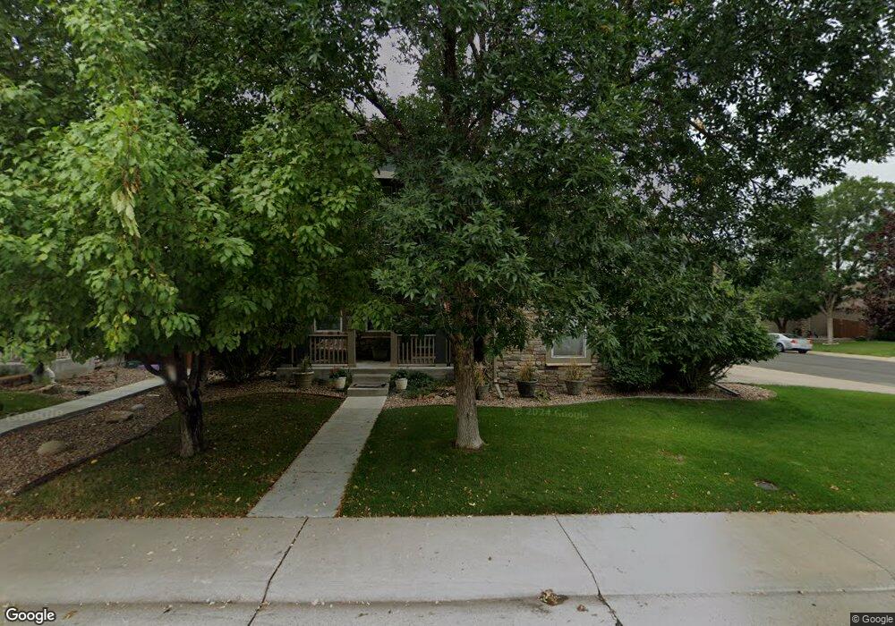
13963 Fillmore St Thornton, CO 80602
Cherrywood Park NeighborhoodEstimated Value: $659,180 - $755,000
3
Beds
3
Baths
2,840
Sq Ft
$251/Sq Ft
Est. Value
About This Home
This home is located at 13963 Fillmore St, Thornton, CO 80602 and is currently estimated at $712,545, approximately $250 per square foot. 13963 Fillmore St is a home located in Adams County with nearby schools including Prairie Hills Elementary School, Rocky Top Middle School, and Horizon High School.
Ownership History
Date
Name
Owned For
Owner Type
Purchase Details
Closed on
Oct 30, 2002
Sold by
The Ryland Group Inc
Bought by
Thurber Alan E and Thurber Melissa D
Current Estimated Value
Home Financials for this Owner
Home Financials are based on the most recent Mortgage that was taken out on this home.
Original Mortgage
$283,000
Outstanding Balance
$118,449
Interest Rate
6.01%
Estimated Equity
$594,096
Create a Home Valuation Report for This Property
The Home Valuation Report is an in-depth analysis detailing your home's value as well as a comparison with similar homes in the area
Home Values in the Area
Average Home Value in this Area
Purchase History
| Date | Buyer | Sale Price | Title Company |
|---|---|---|---|
| Thurber Alan E | $360,000 | Ryland Title Company |
Source: Public Records
Mortgage History
| Date | Status | Borrower | Loan Amount |
|---|---|---|---|
| Open | Thurber Alan E | $283,000 |
Source: Public Records
Tax History Compared to Growth
Tax History
| Year | Tax Paid | Tax Assessment Tax Assessment Total Assessment is a certain percentage of the fair market value that is determined by local assessors to be the total taxable value of land and additions on the property. | Land | Improvement |
|---|---|---|---|---|
| 2024 | $4,033 | $42,320 | $8,130 | $34,190 |
| 2023 | $3,992 | $49,450 | $7,980 | $41,470 |
| 2022 | $3,079 | $34,900 | $8,200 | $26,700 |
| 2021 | $3,182 | $34,900 | $8,200 | $26,700 |
| 2020 | $3,200 | $35,830 | $8,440 | $27,390 |
| 2019 | $3,206 | $35,830 | $8,440 | $27,390 |
| 2018 | $3,695 | $32,110 | $7,490 | $24,620 |
| 2017 | $3,359 | $32,110 | $7,490 | $24,620 |
| 2016 | $3,104 | $28,880 | $5,410 | $23,470 |
| 2015 | $3,099 | $28,880 | $5,410 | $23,470 |
| 2014 | $2,798 | $25,350 | $4,460 | $20,890 |
Source: Public Records
Map
Nearby Homes
- 13963 Cook St
- 13845 Adams Cir
- 3365 E 141st Ave
- 13890 Madison St
- 13758 Cook St
- 3022 E 137th Place
- 14162 Madison Way
- 14028 Jackson St
- 13844 Jackson St
- 14065 Harrison St
- 13638 Garfield St Unit B
- 13638 Garfield St Unit C
- 14447 Madison St
- 13606 Garfield St Unit E
- 13540 Detroit St
- 13784 Ash Cir
- 0 Colorado Blvd
- 13731 Ash Cir
- 1936 E 144th Dr
- 2028 E 145th Ave
- 13953 Fillmore St
- 13962 Detroit St
- 13952 Detroit St
- 13943 Fillmore St
- 13964 Fillmore St
- 2831 E 140th Ave
- 2821 E 140th Ave
- 13954 Fillmore St
- 13942 Detroit St
- 2901 E 140th Ave
- 2811 E 140th Ave
- 13933 Fillmore St
- 13944 Fillmore St
- 2801 E 140th Ave
- 13932 Detroit St
- 2911 E 140th Ave
- 2768 E 140th Ave
- 13934 Fillmore St
- 13965 Milwaukee St
- 13923 Fillmore St