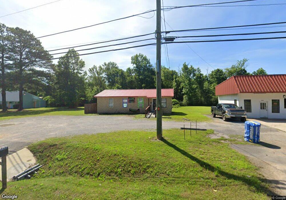
13966 Us Highway 411 Odenville, AL 35120
Estimated Value: $138,153
--
Bed
--
Bath
962
Sq Ft
$144/Sq Ft
Est. Value
About This Home
This home is located at 13966 Us Highway 411, Odenville, AL 35120 and is currently estimated at $138,153, approximately $143 per square foot. 13966 Us Highway 411 is a home located in St. Clair County with nearby schools including Odenville Elementary School, Odenville Intermediate School, and Odenville Middle School.
Ownership History
Date
Name
Owned For
Owner Type
Purchase Details
Closed on
Apr 16, 2015
Sold by
Lsm Two Covenant Properties Llc
Bought by
Vu Ngoc K
Current Estimated Value
Home Financials for this Owner
Home Financials are based on the most recent Mortgage that was taken out on this home.
Original Mortgage
$60,000
Outstanding Balance
$46,539
Interest Rate
3.95%
Mortgage Type
Future Advance Clause Open End Mortgage
Estimated Equity
$91,614
Purchase Details
Closed on
Sep 22, 2006
Sold by
Sooudi Iradi
Bought by
L S M Two Covenant Properties Llc
Create a Home Valuation Report for This Property
The Home Valuation Report is an in-depth analysis detailing your home's value as well as a comparison with similar homes in the area
Home Values in the Area
Average Home Value in this Area
Purchase History
| Date | Buyer | Sale Price | Title Company |
|---|---|---|---|
| Vu Ngoc K | $72,000 | None Available | |
| L S M Two Covenant Properties Llc | -- | None Available |
Source: Public Records
Mortgage History
| Date | Status | Borrower | Loan Amount |
|---|---|---|---|
| Open | Vu Ngoc K | $60,000 |
Source: Public Records
Tax History Compared to Growth
Tax History
| Year | Tax Paid | Tax Assessment Tax Assessment Total Assessment is a certain percentage of the fair market value that is determined by local assessors to be the total taxable value of land and additions on the property. | Land | Improvement |
|---|---|---|---|---|
| 2024 | $968 | $26,874 | $10,000 | $16,874 |
| 2023 | $968 | $26,874 | $10,000 | $16,874 |
| 2022 | $870 | $24,180 | $10,300 | $13,880 |
| 2021 | $771 | $24,180 | $10,300 | $13,880 |
| 2020 | $771 | $21,404 | $10,300 | $11,104 |
| 2019 | $771 | $21,404 | $10,300 | $11,104 |
| 2018 | $675 | $18,760 | $0 | $0 |
| 2017 | $773 | $18,760 | $0 | $0 |
| 2016 | $675 | $18,760 | $0 | $0 |
| 2015 | $773 | $21,700 | $0 | $0 |
| 2014 | $773 | $21,480 | $0 | $0 |
Source: Public Records
Map
Nearby Homes
- 100 Twin Pine Cir
- 73 College St
- 603 Alabama St
- 53 Hillcrest St
- 260 Pine Ridge Dr
- 8340 Alabama St
- 390 Brown St
- 350 Pine Ridge Dr
- 360 Pine Ridge Dr
- The Hayden Plan at Pine Ridge
- The Lakeside Plan at Pine Ridge
- The Freeport Plan at Pine Ridge
- The Penwell Plan at Pine Ridge
- The Cali Plan at Pine Ridge
- 370 Pine Ridge Dr
- 380 Pine Ridge Dr
- 375 Pine Ridge Dr
- 390 Pine Ridge Dr
- 400 Pine Ridge Dr
- 410 Pine Ridge Dr
- 13966 U S 411
- 14008 U S 411
- 14008 Us Highway 411
- 80 Burgess Dr
- 46 Burgess Dr
- 13903 Us Highway 411
- 14 Forman St
- 60 Forman St
- 16 Forman St
- 50 Forman St
- 120 Forman St
- 13859 Us Highway 411
- 13813 Us Highway 411
- 197 Forman St
- 95 Burgess Dr
- 100 Twin Pines Cir
- 14203 U S 411
- 14203 Us Highway 411
- 0 Highway 174 Unit 381048
- 0 Highway 174 Unit 426075