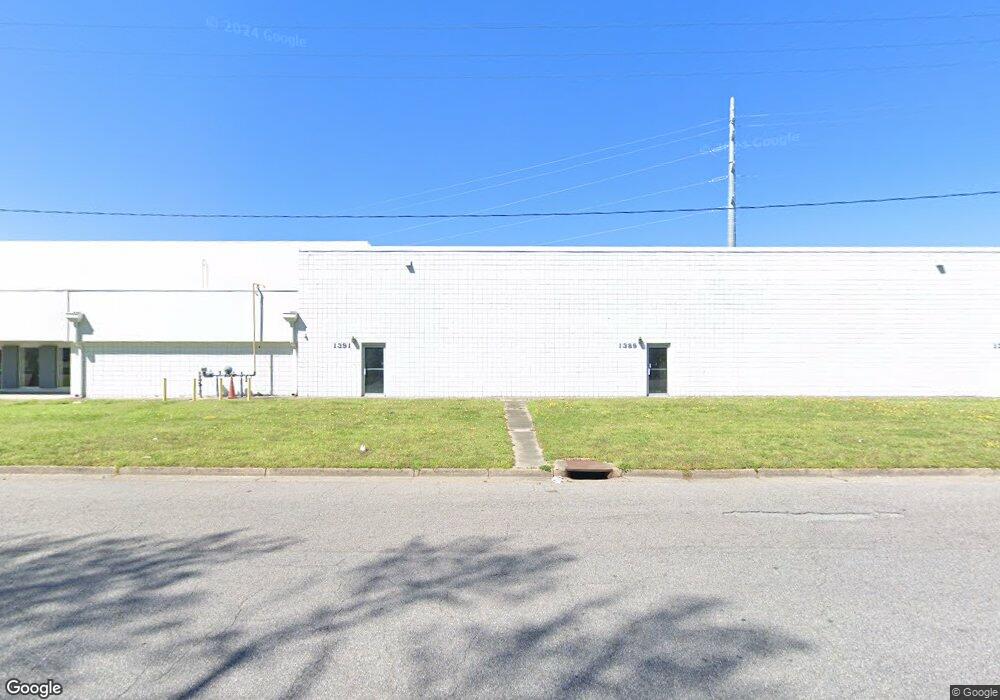
1397 Baker Rd Virginia Beach, VA 23455
Bayside NeighborhoodEstimated Value: $2,774,184
Studio
--
Bath
43,635
Sq Ft
$64/Sq Ft
Est. Value
About This Home
This home is located at 1397 Baker Rd, Virginia Beach, VA 23455 and is currently estimated at $2,774,184, approximately $63 per square foot. 1397 Baker Rd is a home located in Virginia Beach City with nearby schools including Bayside Elementary School, Bayside 6th Grade Campus, and Bayside High School.
Ownership History
Date
Name
Owned For
Owner Type
Purchase Details
Closed on
Dec 2, 2021
Sold by
Procopis John Damalas Family Llc
Bought by
Baker 1381 Llc
Current Estimated Value
Home Financials for this Owner
Home Financials are based on the most recent Mortgage that was taken out on this home.
Original Mortgage
$1,800,000
Outstanding Balance
$1,656,192
Interest Rate
3.14%
Mortgage Type
Amount Keyed Is An Aggregate Amount
Estimated Equity
$1,117,992
Create a Home Valuation Report for This Property
The Home Valuation Report is an in-depth analysis detailing your home's value as well as a comparison with similar homes in the area
Home Values in the Area
Average Home Value in this Area
Purchase History
| Date | Buyer | Sale Price | Title Company |
|---|---|---|---|
| Baker 1381 Llc | $2,250,000 | Kane Jeffries & Carollo Pc | |
| Baker 1381 Llc | $2,250,000 | Old Republic Natl Ttl Ins |
Source: Public Records
Mortgage History
| Date | Status | Borrower | Loan Amount |
|---|---|---|---|
| Open | Baker 1381 Llc | $1,800,000 | |
| Closed | Baker 1381 Llc | $1,800,000 |
Source: Public Records
Tax History
| Year | Tax Paid | Tax Assessment Tax Assessment Total Assessment is a certain percentage of the fair market value that is determined by local assessors to be the total taxable value of land and additions on the property. | Land | Improvement |
|---|---|---|---|---|
| 2025 | $25,125 | $2,624,500 | $678,600 | $1,945,900 |
| 2024 | $25,125 | $2,590,200 | $678,600 | $1,911,600 |
Source: Public Records
Map
Nearby Homes
- 1241 Baker Rd Unit LT 49
- 1600 Hedgerow Dr
- 1517 Janke Rd
- 5628 Aurora Dr
- 5845 Burton Station Rd
- 5533 Norlina Rd
- 5708 Gretna Rd
- 5609 Anthony Rd
- 1937 Darnell Dr
- 5640 Memorial Dr
- 5549 Odessa Dr
- 1105 Spindle Crossing
- 5584 Memorial Dr
- 5532 Arboretum Ave
- 5509 Quarterpath Gate
- 5448 Paperwhite Ln
- 5453 Paperwhite Ln
- 1424 Ellis Ave
- 5529 Forest View Dr
- 5609 Tendril Last
- 5728 Ward Ave
- 5809 Ward Ct
- 1364 Baker Rd
- 5724 Ward Ave
- 5816 Ward Ct
- 5795 Thurston Ave
- 1301 Baker Rd
- 5821 Ward Ct
- 5713 Ward Ave
- 5721 Thurston Ave
- 5901 Thurston Ave
- 5828 Ward Ct
- 5717 Thurston Ave
- 5713 Thurston Ave
- 5820 Ward Ct
- 1297 Baker Rd
- 5700 Ward Ave
- 1421 Diamond Springs Rd
- 1299 Baker Rd
- 5890 Thurston Ave
Your Personal Tour Guide
Ask me questions while you tour the home.