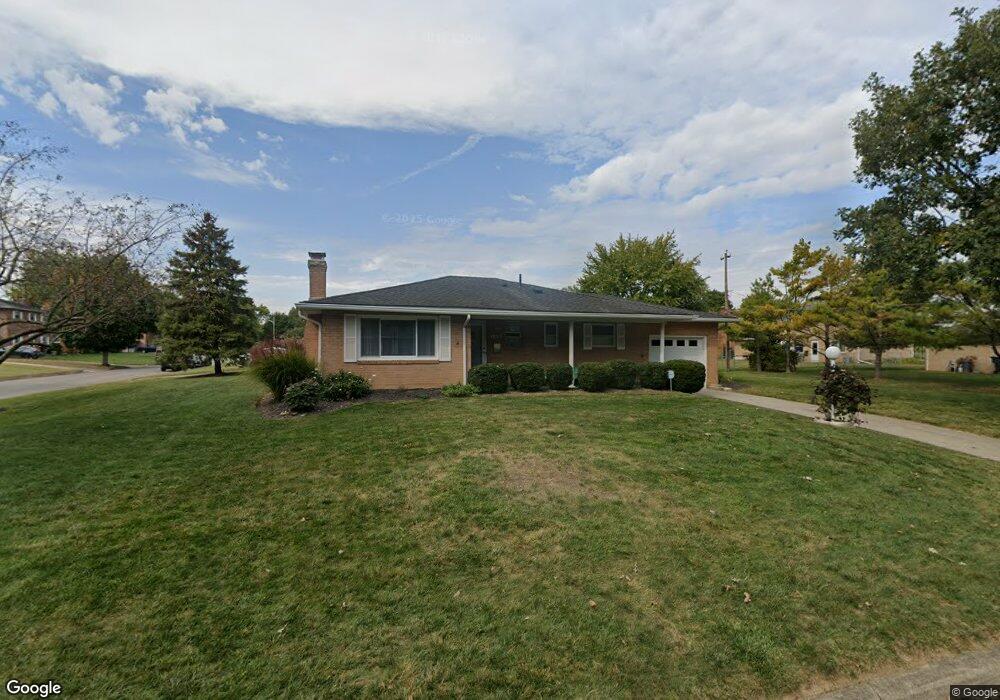
1397 Bronwyn Ave Columbus, OH 43204
Brookshire NeighborhoodEstimated Value: $232,588 - $255,000
3
Beds
2
Baths
1,180
Sq Ft
$209/Sq Ft
Est. Value
About This Home
This home is located at 1397 Bronwyn Ave, Columbus, OH 43204 and is currently estimated at $246,647, approximately $209 per square foot. 1397 Bronwyn Ave is a home located in Franklin County with nearby schools including Binns Elementary School, Wedgewood Middle School, and Briggs High School.
Ownership History
Date
Name
Owned For
Owner Type
Purchase Details
Closed on
Jun 29, 2001
Sold by
Canary Melva J
Bought by
Shafer Ryan D and Shafer Jacquelyn M
Current Estimated Value
Purchase Details
Closed on
Apr 1, 1985
Create a Home Valuation Report for This Property
The Home Valuation Report is an in-depth analysis detailing your home's value as well as a comparison with similar homes in the area
Home Values in the Area
Average Home Value in this Area
Purchase History
| Date | Buyer | Sale Price | Title Company |
|---|---|---|---|
| Shafer Ryan D | $111,900 | Independent Title | |
| -- | $51,000 | -- |
Source: Public Records
Tax History Compared to Growth
Tax History
| Year | Tax Paid | Tax Assessment Tax Assessment Total Assessment is a certain percentage of the fair market value that is determined by local assessors to be the total taxable value of land and additions on the property. | Land | Improvement |
|---|---|---|---|---|
| 2024 | $3,410 | $75,990 | $16,490 | $59,500 |
| 2023 | $3,367 | $75,985 | $16,485 | $59,500 |
| 2022 | $2,126 | $40,990 | $8,680 | $32,310 |
| 2021 | $2,130 | $40,990 | $8,680 | $32,310 |
| 2020 | $2,132 | $40,990 | $8,680 | $32,310 |
| 2019 | $2,202 | $36,300 | $7,560 | $28,740 |
| 2018 | $2,069 | $36,300 | $7,560 | $28,740 |
| 2017 | $2,201 | $36,300 | $7,560 | $28,740 |
| 2016 | $2,138 | $32,280 | $6,550 | $25,730 |
| 2015 | $1,941 | $32,280 | $6,550 | $25,730 |
| 2014 | $1,946 | $32,280 | $6,550 | $25,730 |
| 2013 | $1,129 | $37,975 | $7,700 | $30,275 |
Source: Public Records
Map
Nearby Homes
- 2856 Chesfield Dr
- 1520 Fall Brook Rd
- 2987 Daisy Ln
- 1248 Gresham Rd
- 2929 Briggs Rd
- 2547 Rosedale Ave
- 2743 Saint Joseph Ave
- 1465 Tall Meadows Dr
- 0 S Central Ave
- 2610 Spaatz Ave
- 1037 Chestershire Rd
- 2800 Alkire Rd
- 0 Glencreek Rd
- 1181 Onslow Dr
- 2894 Creith Ct
- 2743 Bernadette Rd
- 903 S Harris Ave
- 3029 Rosedale Ave
- 3326 Bluhm Ct
- 2783-2785 Vanderberg Ave
- 2816 Nicholas Ave
- 1385 Bronwyn Ave
- 2805 Briggston Ave
- 2824 Nicholas Ave
- 1400 Bronwyn Ave
- 1392 Bronwyn Ave
- 2801 Nicholas Ave
- 2811 Nicholas Ave
- 2817 Briggston Ave
- 1384 Bronwyn Ave
- 2793 Nicholas Ave
- 2819 Nicholas Ave
- 2832 Nicholas Ave
- 2827 Nicholas Ave
- 1376 Bronwyn Ave
- 2825 Briggston Ave
- 2840 Nicholas Ave
- 2835 Nicholas Ave
- 2754 Hafton Woods Ct