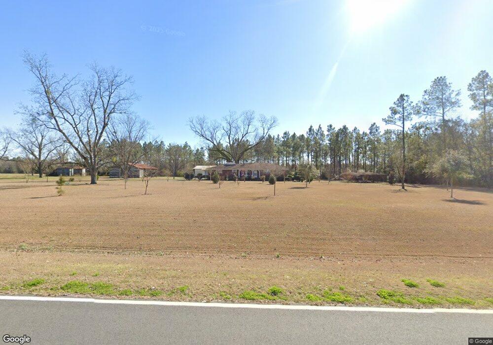
1397 Mizpah Rd Whigham, GA 39897
Estimated Value: $221,642 - $246,000
--
Bed
1
Bath
1,989
Sq Ft
$118/Sq Ft
Est. Value
About This Home
This home is located at 1397 Mizpah Rd, Whigham, GA 39897 and is currently estimated at $234,547, approximately $117 per square foot. 1397 Mizpah Rd is a home located in Grady County.
Ownership History
Date
Name
Owned For
Owner Type
Purchase Details
Closed on
Sep 26, 2016
Sold by
Barbara
Bought by
Godwin Godwin I and Godwin Gail
Current Estimated Value
Purchase Details
Closed on
May 21, 2012
Sold by
Godwin Walter P
Bought by
Godwin Walter P
Purchase Details
Closed on
Aug 25, 1995
Sold by
Godwin Walter P
Bought by
Godwin Walter P Trustee
Purchase Details
Closed on
Sep 27, 1960
Bought by
Godwin Walter P
Create a Home Valuation Report for This Property
The Home Valuation Report is an in-depth analysis detailing your home's value as well as a comparison with similar homes in the area
Home Values in the Area
Average Home Value in this Area
Purchase History
| Date | Buyer | Sale Price | Title Company |
|---|---|---|---|
| Godwin Godwin I | $122,222 | -- | |
| Godwin Godwin I | $122,222 | -- | |
| Godwin Walter P | -- | -- | |
| Godwin Walter P Trustee | -- | -- | |
| Godwin Walter P | -- | -- |
Source: Public Records
Tax History Compared to Growth
Tax History
| Year | Tax Paid | Tax Assessment Tax Assessment Total Assessment is a certain percentage of the fair market value that is determined by local assessors to be the total taxable value of land and additions on the property. | Land | Improvement |
|---|---|---|---|---|
| 2024 | $2,384 | $77,506 | $8,524 | $68,982 |
| 2023 | $1,566 | $50,857 | $8,640 | $42,217 |
| 2022 | $1,566 | $50,857 | $8,640 | $42,217 |
| 2021 | $1,716 | $55,579 | $8,640 | $46,939 |
| 2020 | $1,722 | $55,579 | $8,640 | $46,939 |
| 2019 | $1,722 | $55,579 | $8,640 | $46,939 |
| 2018 | $1,617 | $55,579 | $8,640 | $46,939 |
| 2017 | $1,539 | $55,579 | $8,640 | $46,939 |
| 2016 | $1,362 | $48,889 | $8,640 | $40,249 |
| 2015 | $1,345 | $48,889 | $8,640 | $40,249 |
| 2014 | -- | $48,889 | $8,640 | $40,249 |
| 2013 | -- | $46,856 | $9,900 | $36,956 |
Source: Public Records
Map
Nearby Homes
- 0 Harrell Rd
- 7268 Lodgetown Rd
- TBD3 Cumbie Rd
- TBD2 Cumbie Rd
- TBD4 Cumbie Rd
- Tbd Cumbie Rd
- 0 Cumbie Rd
- 8468 Branchville Rd
- 0 Cal Thomas Rd
- 0 Wade Rd
- 6203 Mount Olive Rd
- 1067 Wade Rd
- 0 Pelham Rd Unit 23706472
- 53 +/- A Bond Rd
- 189 Sabino Dr
- 2033 Old 179 N
- 1741 Georgia 112
- 547 Eddie Avery Rd
- 000 Noles Rd
- 0 Eddie Avery Rd Unit 14399