1397 S Glen Rd Shelby, MI 49455
Estimated Value: $514,000 - $1,300,000
--
Bed
--
Bath
--
Sq Ft
0.78
Acres
About This Home
This home is located at 1397 S Glen Rd, Shelby, MI 49455 and is currently estimated at $899,752. 1397 S Glen Rd is a home with nearby schools including Shelby High School.
Ownership History
Date
Name
Owned For
Owner Type
Purchase Details
Closed on
Nov 10, 2021
Sold by
Boynton Lynn W and Boynton Jacqueline D
Bought by
Boynton Melbourne D and Montgomery Rebecca
Current Estimated Value
Purchase Details
Closed on
Oct 12, 2017
Sold by
Boynton Lynn W and Boynton Jacqueline D
Bought by
Boynton Jennifer D
Purchase Details
Closed on
Jul 7, 2014
Sold by
Boynton Melbourne D and Boynton Charles D
Bought by
Boynton Lynn W and Boynton Jacqueline D
Purchase Details
Closed on
Jul 1, 2014
Sold by
Montgomery Rebecca Boynton
Bought by
Boynton Lynn W and Boyton Jacqueline D
Purchase Details
Closed on
Oct 17, 2013
Sold by
Boynton Jacqueline D and Boyntown Lynn W
Bought by
The Boynton Family Qualified Personal Re
Purchase Details
Closed on
Dec 16, 1998
Sold by
Duncan Virginia
Bought by
Boynton Lynn W and Boynton Jacqueline D
Create a Home Valuation Report for This Property
The Home Valuation Report is an in-depth analysis detailing your home's value as well as a comparison with similar homes in the area
Home Values in the Area
Average Home Value in this Area
Purchase History
| Date | Buyer | Sale Price | Title Company |
|---|---|---|---|
| Boynton Melbourne D | -- | None Available | |
| Boynton Jennifer D | -- | Attorney | |
| Boynton Lynn W | -- | None Available | |
| Boynton Lynn W | -- | None Available | |
| The Boynton Family Qualified Personal Re | -- | None Available | |
| Boynton Lynn W | $40,000 | -- |
Source: Public Records
Tax History Compared to Growth
Tax History
| Year | Tax Paid | Tax Assessment Tax Assessment Total Assessment is a certain percentage of the fair market value that is determined by local assessors to be the total taxable value of land and additions on the property. | Land | Improvement |
|---|---|---|---|---|
| 2025 | $17,888 | $496,100 | $496,100 | $0 |
| 2024 | $4,619 | $487,800 | $487,800 | $0 |
| 2023 | $15,654 | $426,600 | $426,600 | $0 |
| 2022 | $15,654 | $379,600 | $0 | $0 |
| 2021 | $15,638 | $366,100 | $366,100 | $0 |
| 2020 | $14,751 | $359,400 | $359,400 | $0 |
| 2019 | $14,909 | $358,500 | $0 | $0 |
| 2018 | $14,564 | $331,900 | $0 | $0 |
| 2017 | $13,817 | $320,200 | $0 | $0 |
| 2016 | -- | $365,300 | $0 | $0 |
| 2013 | -- | $364,100 | $0 | $0 |
Source: Public Records
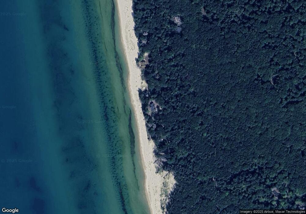
Map
Nearby Homes
- Lot G Hemlock Trail
- 10445 W Woodrow Rd
- 10412 W Woodrow Rd
- Lot N Hemlock Trail
- Lot O Hemlock
- 0 Sable Point Dr Unit 286596
- 1935 S Glen Rd
- 0 Silver Lake Dr
- 2225 Apache Dr
- 2087 S Glen Rd
- V/L W Woodrow Rd
- 62 N 14th Ave
- 539 N Lighthouse Dr
- 18 Acres 28th Ave
- 2167 S 32nd Ave Unit Parcel B
- 2167 S 32nd Ave Unit Parcel A
- 658 Parasail Dr
- 0 S 32nd Ave
- Parcel F-1 28th Ave
- Parcel F-2 28th Ave
- 1411 S Glen Rd
- 1383 S Glen Rd
- 1369 S Glen Rd
- 1427 S Glen Rd
- 1443 S Glen Rd
- 1353 S Glen Rd
- 1399 S Bluff Rd
- 1357 Bluff Rd
- 1349 S Bluff Rd
- 1339 S Glen Rd
- 1335 S Bluff Rd
- 1319 S Bluff Rd
- 1323 S Glen Rd
- 1295 S Glen Rd
- 1305 S Bluff Rd
- 1269 S Glen Rd
- 1275 S Bluff Rd
- 1265 S Glen Rd
- 0 Hemlock Trail Unit 67022045110
- 0 Hemlock Trail Unit 22045110