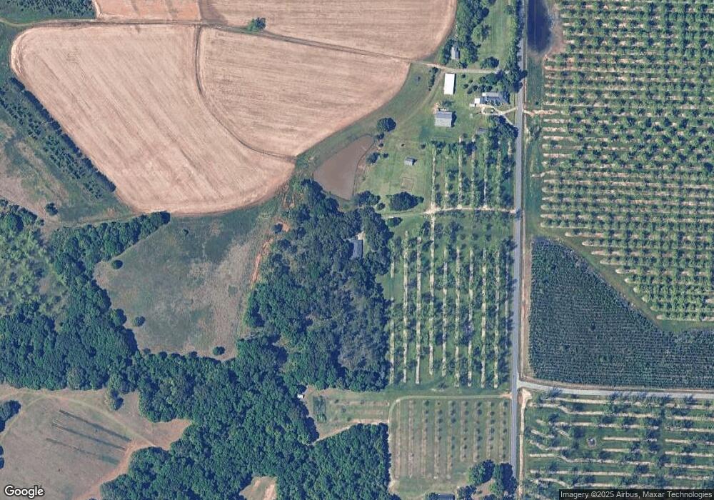
1397 Vinson Rd Fort Valley, GA 31030
Estimated Value: $279,000 - $418,000
4
Beds
4
Baths
2,898
Sq Ft
$120/Sq Ft
Est. Value
About This Home
This home is located at 1397 Vinson Rd, Fort Valley, GA 31030 and is currently estimated at $346,692, approximately $119 per square foot. 1397 Vinson Rd is a home located in Peach County with nearby schools including Kay Road Elementary School, Fort Valley Middle School, and Peach County High School.
Ownership History
Date
Name
Owned For
Owner Type
Purchase Details
Closed on
Dec 26, 2012
Sold by
Holcomb Stephan F
Bought by
Triple H Fam Holdings Lllp
Current Estimated Value
Purchase Details
Closed on
Mar 29, 2012
Sold by
Holcomb Jasper C
Bought by
Holcomb Stephan F
Purchase Details
Closed on
Mar 28, 2012
Sold by
Foster Cindy H
Bought by
Holcomb Stephan F
Purchase Details
Closed on
Jun 17, 2009
Sold by
Holcomb Jasper C
Bought by
Holcomb Jasper C and Foster Cindy Holcomb
Purchase Details
Closed on
Oct 17, 2005
Sold by
Bailey Mary
Bought by
Holcomb Jasper C and Foster Cindy Holcomb
Create a Home Valuation Report for This Property
The Home Valuation Report is an in-depth analysis detailing your home's value as well as a comparison with similar homes in the area
Home Values in the Area
Average Home Value in this Area
Purchase History
| Date | Buyer | Sale Price | Title Company |
|---|---|---|---|
| Triple H Fam Holdings Lllp | -- | -- | |
| Holcomb Stephan F | $87,500 | -- | |
| Holcomb Stephan F | $30,000 | -- | |
| Holcomb Jasper C | -- | -- | |
| Holcomb Jasper C | -- | -- |
Source: Public Records
Tax History Compared to Growth
Tax History
| Year | Tax Paid | Tax Assessment Tax Assessment Total Assessment is a certain percentage of the fair market value that is determined by local assessors to be the total taxable value of land and additions on the property. | Land | Improvement |
|---|---|---|---|---|
| 2024 | $2,453 | $84,280 | $9,560 | $74,720 |
| 2023 | $2,137 | $72,440 | $9,560 | $62,880 |
| 2022 | $1,851 | $68,760 | $9,560 | $59,200 |
| 2021 | $2,046 | $59,000 | $9,560 | $49,440 |
| 2020 | $2,077 | $60,000 | $9,560 | $50,440 |
| 2019 | $2,087 | $60,000 | $9,560 | $50,440 |
| 2018 | $2,096 | $60,000 | $9,560 | $50,440 |
| 2017 | $2,105 | $60,000 | $9,560 | $50,440 |
| 2016 | $2,097 | $60,000 | $9,560 | $50,440 |
| 2015 | $2,046 | $58,280 | $7,840 | $50,440 |
| 2014 | $2,049 | $58,280 | $7,840 | $50,440 |
| 2013 | -- | $58,280 | $7,840 | $50,440 |
Source: Public Records
Map
Nearby Homes
- 7067 Moseley Rd
- 0 Taylors Mill Rd Unit 25273337
- 0 Alexander Way Unit M181686
- 0 Alexander Way Unit 253758
- 0 Alexander Way Unit 10539008
- 865 Chestnut Hill Rd
- 104 King Arthurs Ct
- 1646 E Wesley Chapel Rd
- 5170 Walton Rd
- 4878 Walton Rd
- Lot 1 Trojan Way
- 0 Woolfolk Rd Unit 256841
- Lot 2 Trojan Way
- 1250 Blasingame Rd
- Lot 5 Trojan Way
- Lot 6 Trojan Way
- LOT 10 Taylors Mill Rd
- Lot 7 & 8 Taylors Mill Rd
- 120 Jamie Ct
- 370 Woolfolk Rd